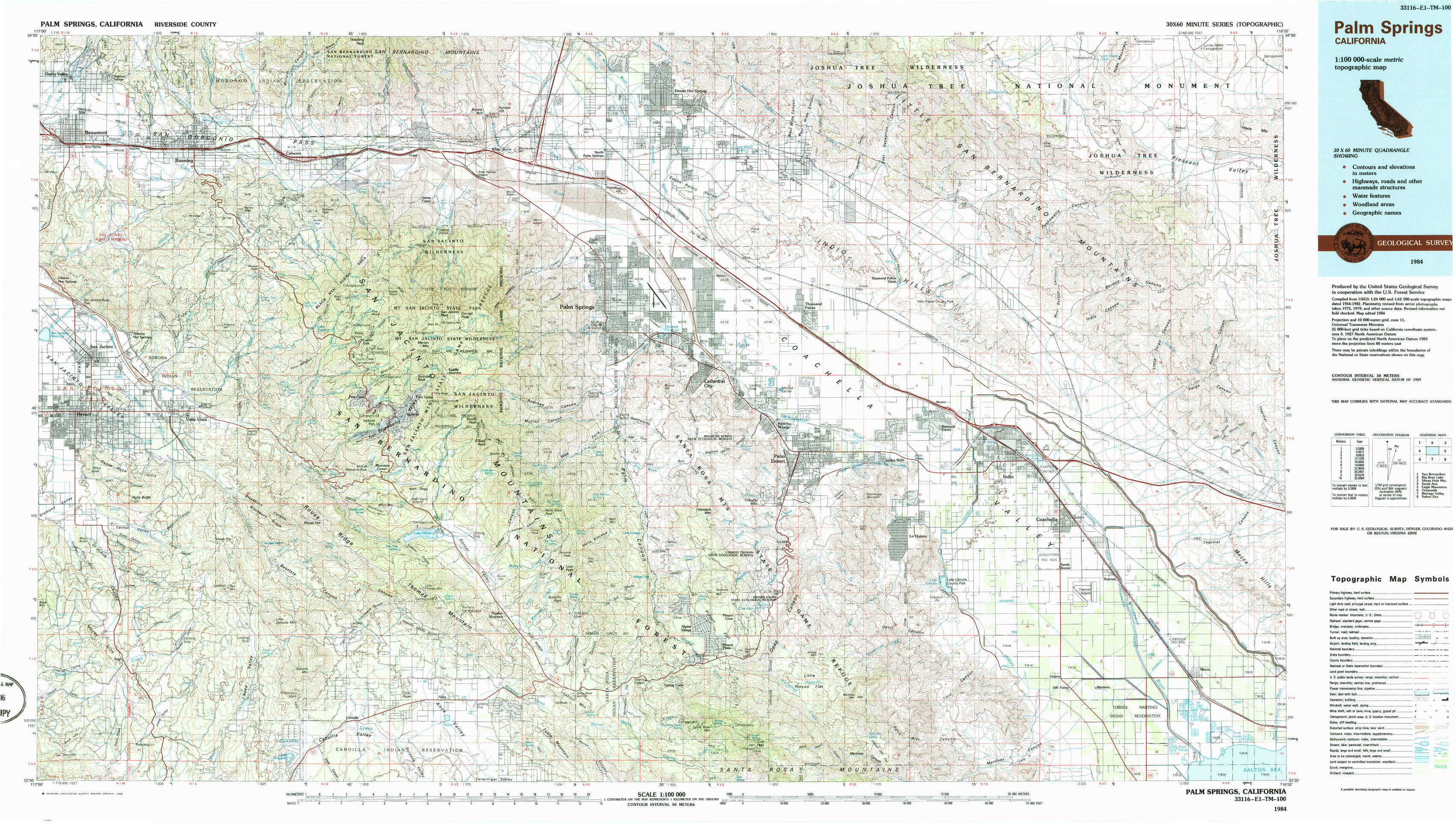
Palm Springs Topo Map California
To zoom in, hover over the map of Palm Springs
USGS Topo Map 33116e1 - 1:100,000 scale
| Topo Map Name: | Palm Springs |
| USGS Topo Quad ID: | 33116e1 |
| Print Size: | ca. 39" wide x 24" high |
| Southeast Coordinates: | 33.5° N latitude / 116° W longitude |
| Map Center Coordinates: | 33.75° N latitude / 116.5° W longitude |
| U.S. State: | CA |
| Filename: | 33116e1.jpg |
| Download Map JPG Image: | Palm Springs topo map 1:100,000 scale |
| Map Type: | Topographic |
| Topo Series: | 30´x60´ |
| Map Scale: | 1:100,000 |
| Source of Map Images: | United States Geological Survey (USGS) |
| Alternate Map Versions: |
Palm Springs CA 1984, updated 1986 Download PDF Buy paper map Palm Springs CA 1984, updated 1986 Download PDF Buy paper map Palm Springs CA 1984, updated 1986 Download PDF Buy paper map |
1:100,000 Topos surrounding Palm Springs
San Bernardino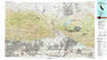 |
Big Bear Lake |
Sheep Hole Mountains |
Santa Ana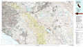 |
Palm Springs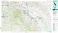 |
Eagle Mountains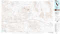 |
Oceanside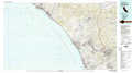 |
Borrego Valley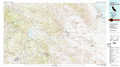 |
Salton Sea |
> Back to 33116a1 at 1:250,000 scale
> Back to U.S. Topo Maps home
1:24,000 Topo Quads covered by the spatial extent of this 100k map (Palm Springs)
|
Beaumont 
|
Cabazon 
|
White Water 
|
Desert Hot Springs 
|
Seven Palms Valley 
|
East Deception Canyon 
|
Keys View 
|
Malapai Hill 
|
|
San Jacinto 
|
Lake Fulmor 
|
San Jacinto Peak 
|
Palm Springs 
|
Cathedral City 
|
Myoma 
|
West Berdoo Canyon 
|
Rockhouse Canyon 
|
|
Hemet 
|
Blackburn Canyon 
|
Idyllwild 
|
Palm View Peak 
|
Rancho Mirage 
|
La Quinta 
|
Indio 
|
Thermal Canyon 
|
|
Sage 
|
Cahuilla Mountain 
|
Anza 
|
Butterfly Peak 
|
Toro Peak 
|
Martinez Mountain 
|
Valerie 
|
Mecca 
|