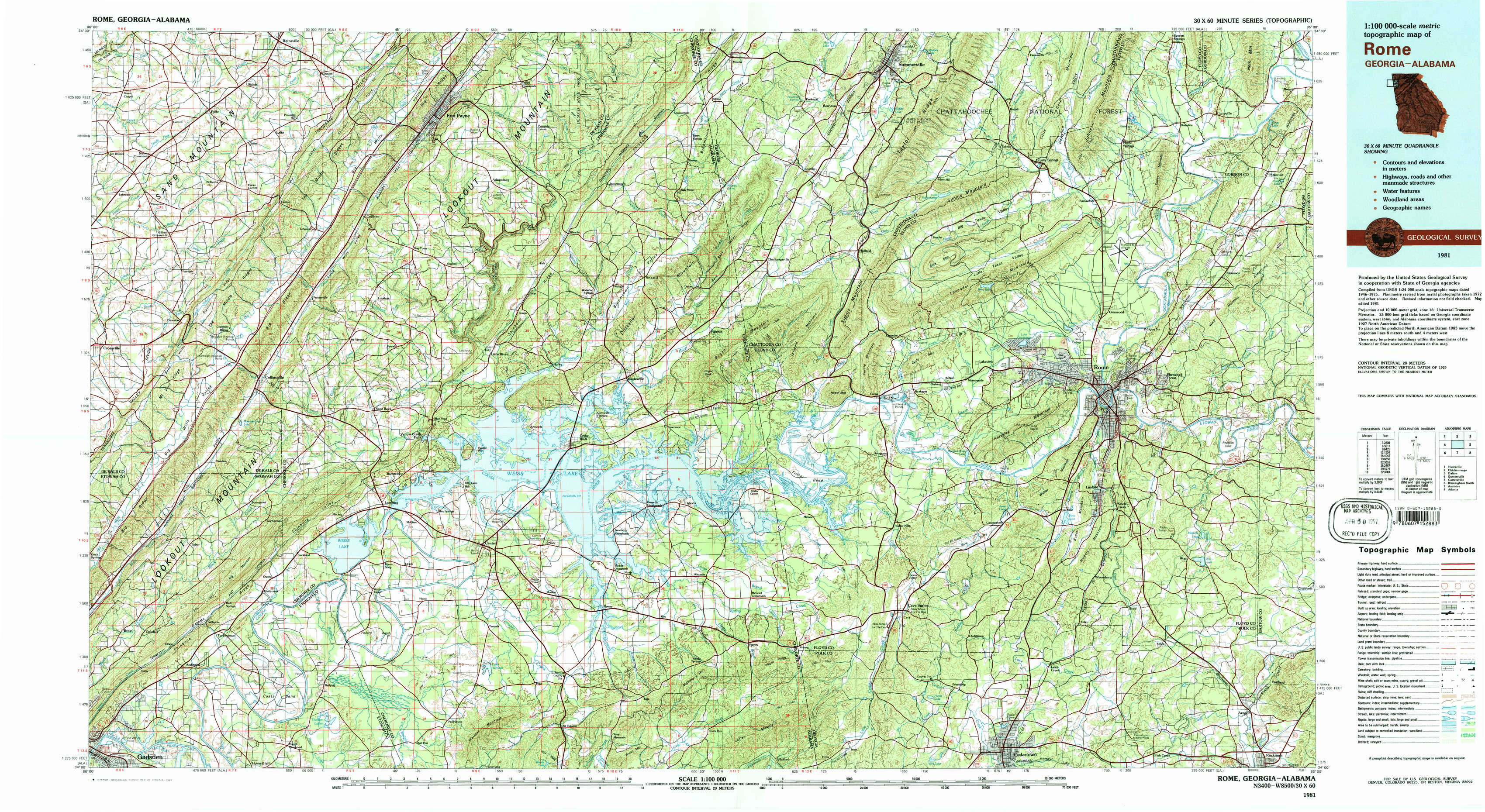
Rome Topo Map Georgia
To zoom in, hover over the map of Rome
USGS Topo Map 34085a1 - 1:100,000 scale
| Topo Map Name: | Rome |
| USGS Topo Quad ID: | 34085a1 |
| Print Size: | ca. 39" wide x 24" high |
| Southeast Coordinates: | 34° N latitude / 85° W longitude |
| Map Center Coordinates: | 34.25° N latitude / 85.5° W longitude |
| U.S. States: | GA, AL |
| Filename: | 34085a1.jpg |
| Download Map JPG Image: | Rome topo map 1:100,000 scale |
| Map Type: | Topographic |
| Topo Series: | 30´x60´ |
| Map Scale: | 1:100,000 |
| Source of Map Images: | United States Geological Survey (USGS) |
| Alternate Map Versions: |
Rome GA 1981, updated 1982 Download PDF Buy paper map |
1:100,000 Topos surrounding Rome
Huntsville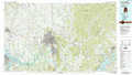 |
Chickamauga |
Dalton |
Guntersville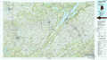 |
Rome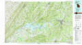 |
Cartersville |
Birmingham North |
Anniston |
Atlanta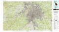 |
> Back to 34084a1 at 1:250,000 scale
> Back to U.S. Topo Maps home
1:24,000 Topo Quads covered by the spatial extent of this 100k map (Rome)
|
Fyffe 
|
Chavies 
|
Fort Payne 
|
Jamestown 
|
Lyerly 
|
Summerville 
|
Armuchee 
|
Plainville 
|
|
Crossville 
|
Portersville 
|
Little River 
|
Gaylesville 
|
Chattoogaville 
|
Rock Mountain 
|
Rome North 
|
Shannon 
|
|
Keener 
|
Leesburg 
|
Centre 
|
Cedar Bluff 
|
Melson 
|
Livingston 
|
Rome South 
|
Wax 
|
|
Gadsden East 
|
Ballplay 
|
Weisner Mountain 
|
Ellisville 
|
Indian Mountain 
|
Cedartown West 
|
Cedartown East 
|
Rockmart North 
|