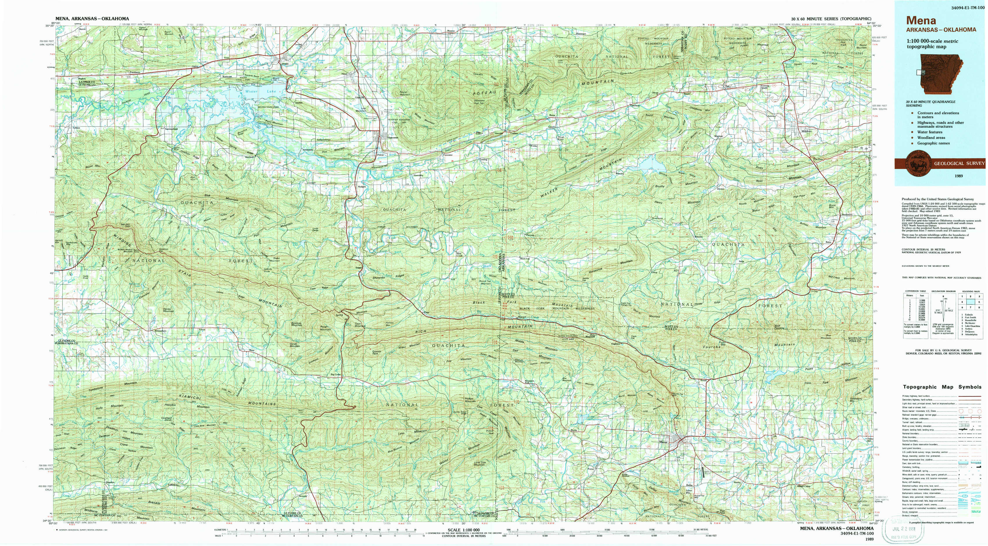
Mena Topo Map Arkansas
To zoom in, hover over the map of Mena
USGS Topo Map 34094e1 - 1:100,000 scale
| Topo Map Name: | Mena |
| USGS Topo Quad ID: | 34094e1 |
| Print Size: | ca. 39" wide x 24" high |
| Southeast Coordinates: | 34.5° N latitude / 94° W longitude |
| Map Center Coordinates: | 34.75° N latitude / 94.5° W longitude |
| U.S. States: | AR, OK |
| Filename: | 34094e1.jpg |
| Download Map JPG Image: | Mena topo map 1:100,000 scale |
| Map Type: | Topographic |
| Topo Series: | 30´x60´ |
| Map Scale: | 1:100,000 |
| Source of Map Images: | United States Geological Survey (USGS) |
| Alternate Map Versions: |
Mena AR 1989, updated 1991 Download PDF Buy paper map |
1:100,000 Topos surrounding Mena
Eufaula |
Fort Smith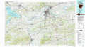 |
Russellville |
Mc Alester |
Mena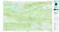 |
Lake Ouachita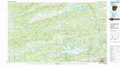 |
Antlers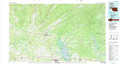 |
De Queen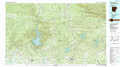 |
Arkadelphia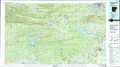 |
> Back to 34094a1 at 1:250,000 scale
> Back to U.S. Topo Maps home
1:24,000 Topo Quads covered by the spatial extent of this 100k map (Mena)
|
Leflore 
|
Summerfield 
|
Wister 
|
Heavener 
|
Bates 
|
Cauthron 
|
Hon 
|
Waldron 
|
|
Blackjack Ridge 
|
Leflore Se 
|
Hodgens 
|
Hontubby 
|
Loving 
|
Horseshoe Mountain 
|
Peanut Mountain 
|
Boles 
|
|
Whitesboro 
|
Muse 
|
Big Cedar 
|
Page 
|
Mountain Fork 
|
Rich Mountain 
|
Acorn 
|
Y City 
|
|
Honobia 
|
Ludlow 
|
Octavia 
|
Lynn Mountain 
|
Zafra 
|
Potter 
|
Mena 
|
Board Camp 
|