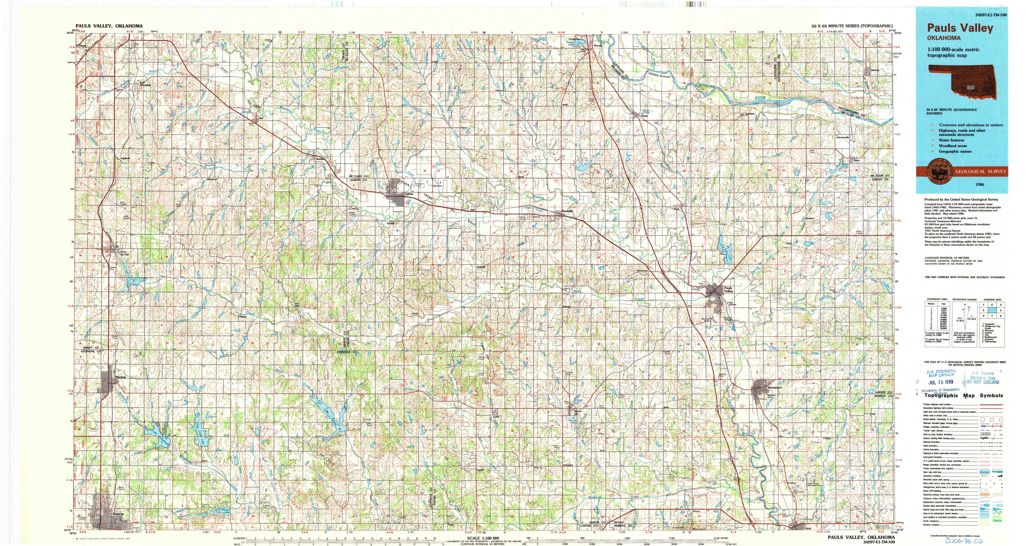
Pauls Valley Topo Map Oklahoma
To zoom in, hover over the map of Pauls Valley
USGS Topo Map 34097e1 - 1:100,000 scale
| Topo Map Name: | Pauls Valley |
| USGS Topo Quad ID: | 34097e1 |
| Print Size: | ca. 39" wide x 24" high |
| Southeast Coordinates: | 34.5° N latitude / 97° W longitude |
| Map Center Coordinates: | 34.75° N latitude / 97.5° W longitude |
| U.S. State: | OK |
| Filename: | 34097e1.jpg |
| Download Map JPG Image: | Pauls Valley topo map 1:100,000 scale |
| Map Type: | Topographic |
| Topo Series: | 30´x60´ |
| Map Scale: | 1:100,000 |
| Source of Map Images: | United States Geological Survey (USGS) |
| Alternate Map Versions: |
Pauls Valley OK 1986, updated 1986 Download PDF Buy paper map Pauls Valley OK 1986, updated 1990 Download PDF Buy paper map |
1:100,000 Topos surrounding Pauls Valley
Anadarko |
Oklahoma City South |
Shawnee |
Lawton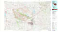 |
Pauls Valley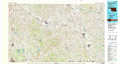 |
Ada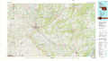 |
Burkburnett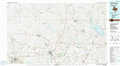 |
Ardmore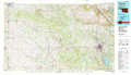 |
Tishomingo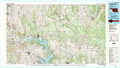 |
> Back to 34096a1 at 1:250,000 scale
> Back to U.S. Topo Maps home
1:24,000 Topo Quads covered by the spatial extent of this 100k map (Pauls Valley)
|
East Ninnekah 
|
Alex 
|
Bradley 
|
Criner 
|
Stealy 
|
Wayne 
|
Rosedale 
|
Wanette 
|
|
Rush Springs 
|
East Roaring Creek 
|
Lindsay Sw 
|
Lindsay 
|
Maysville 
|
Paoli 
|
Byars Sw 
|
Byars 
|
|
Marlow 
|
Bray 
|
Cox City 
|
Purdy 
|
Elmore City North 
|
Elmore City Ne 
|
Pauls Valley 
|
Pauls Valley Ne 
|
|
Duncan North 
|
Hope 
|
Lake Fuqua 
|
Pernell 
|
Elmore City South 
|
Hennepin 
|
Joy 
|
Davis 
|