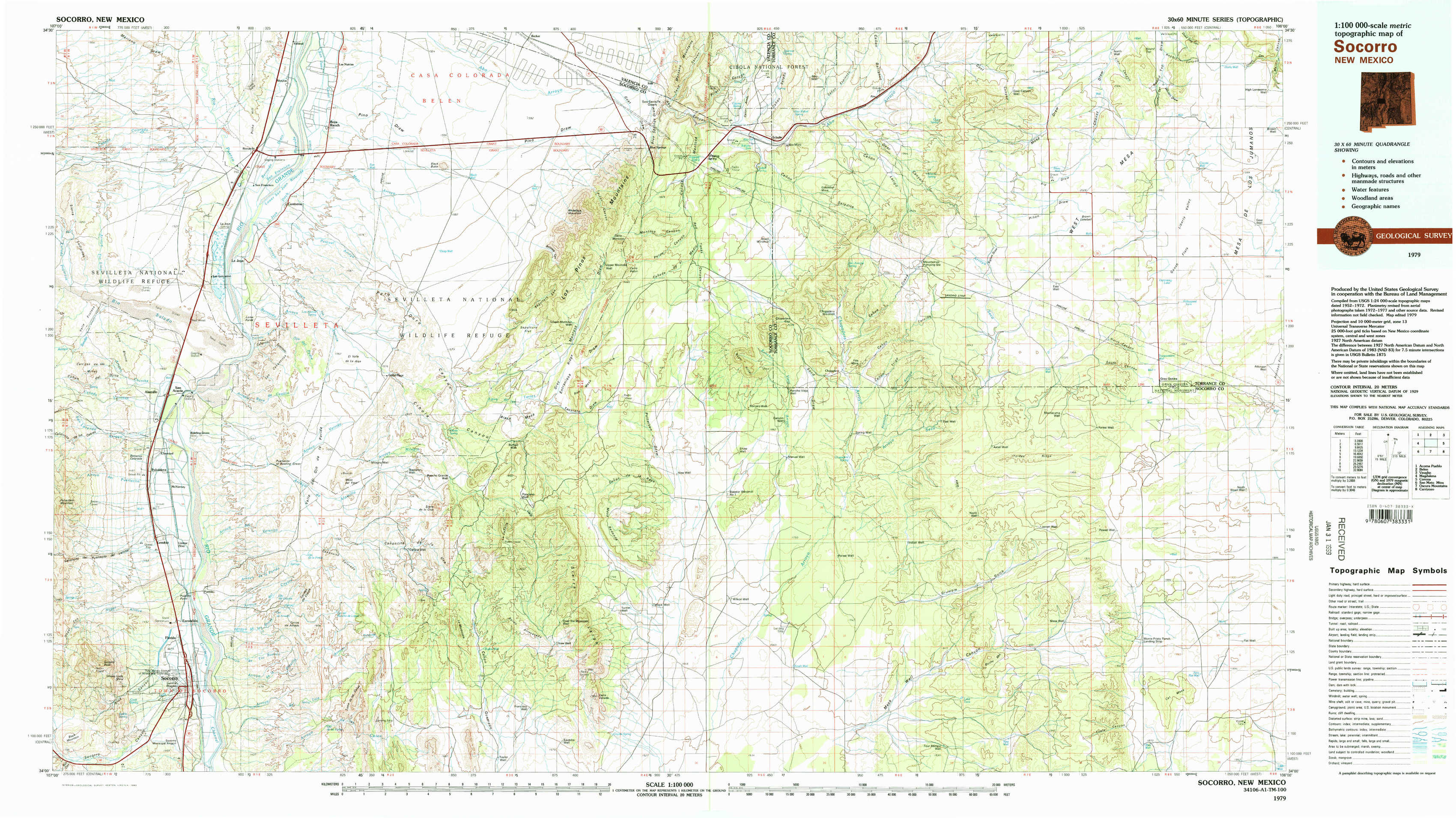
Socorro Topo Map New Mexico
To zoom in, hover over the map of Socorro
USGS Topo Map 34106a1 - 1:100,000 scale
| Topo Map Name: | Socorro |
| USGS Topo Quad ID: | 34106a1 |
| Print Size: | ca. 39" wide x 24" high |
| Southeast Coordinates: | 34° N latitude / 106° W longitude |
| Map Center Coordinates: | 34.25° N latitude / 106.5° W longitude |
| U.S. State: | NM |
| Filename: | 34106a1.jpg |
| Download Map JPG Image: | Socorro topo map 1:100,000 scale |
| Map Type: | Topographic |
| Topo Series: | 30´x60´ |
| Map Scale: | 1:100,000 |
| Source of Map Images: | United States Geological Survey (USGS) |
| Alternate Map Versions: |
Socorro NM 1979, updated 1979 Download PDF Buy paper map Socorro NM 1979, updated 1992 Download PDF Buy paper map |
1:100,000 Topos surrounding Socorro
Acoma Pueblo |
Belen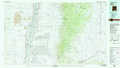 |
Vaughn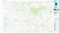 |
Magdalena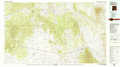 |
Socorro |
Corona |
San Mateo Mountains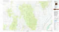 |
Oscura Mountains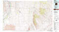 |
Carrizozo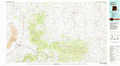 |
> Back to 34106a1 at 1:250,000 scale
> Back to U.S. Topo Maps home
1:24,000 Topo Quads covered by the spatial extent of this 100k map (Socorro)
|
La Joya Nw 
|
Abeytas 
|
Black Butte 
|
Becker 
|
Scholle 
|
Abo 
|
Mesa Draw 
|
Round Top 
|
|
San Acacia 
|
La Joya 
|
Becker Sw 
|
Cerro Montoso 
|
Rayo Hills 
|
Chupadera 
|
Bigbee Draw 
|
Gran Quivira 
|
|
Lemitar 
|
Mesa Del Yeso 
|
Sierra De La Cruz 
|
Sierra Larga North 
|
Bishop Ranch 
|
Chupadera Spring 
|
Turkey Ridge 
|
Turkey Ridge Ne 
|
|
Socorro 
|
Loma De Las Canas 
|
Bustos Well 
|
Sierra Larga South 
|
Orndorff Ranch 
|
Wilson Ranch 
|
Turkey Ridge Sw 
|
Cat Mesa 
|