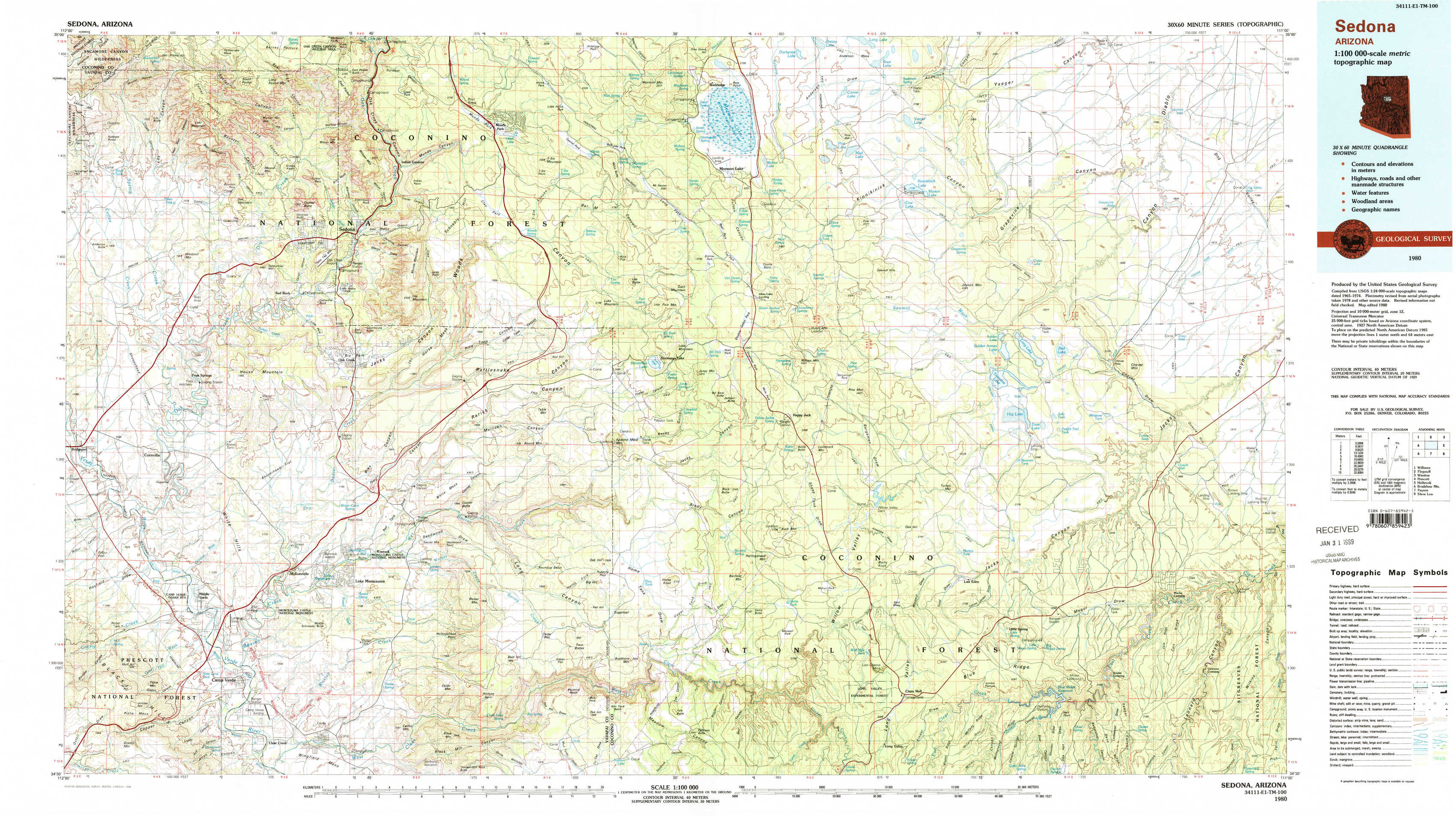
Sedona Topo Map Arizona
To zoom in, hover over the map of Sedona
USGS Topo Map 34111e1 - 1:100,000 scale
| Topo Map Name: | Sedona |
| USGS Topo Quad ID: | 34111e1 |
| Print Size: | ca. 39" wide x 24" high |
| Southeast Coordinates: | 34.5° N latitude / 111° W longitude |
| Map Center Coordinates: | 34.75° N latitude / 111.5° W longitude |
| U.S. State: | AZ |
| Filename: | 34111e1.jpg |
| Download Map JPG Image: | Sedona topo map 1:100,000 scale |
| Map Type: | Topographic |
| Topo Series: | 30´x60´ |
| Map Scale: | 1:100,000 |
| Source of Map Images: | United States Geological Survey (USGS) |
| Alternate Map Versions: |
Sedona AZ 1980, updated 1996 Download PDF Buy paper map |
1:100,000 Topos surrounding Sedona
Williams |
Flagstaff |
Winslow |
Prescott |
Sedona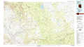 |
Holbrook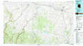 |
Bradshaw Mountains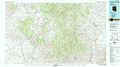 |
Payson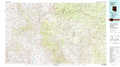 |
Show Low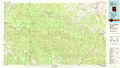 |
> Back to 34110a1 at 1:250,000 scale
> Back to U.S. Topo Maps home
1:24,000 Topo Quads covered by the spatial extent of this 100k map (Sedona)
|
Loy Butte 
|
Wilson Mountain 
|
Munds Park 
|
Mormon Mountain 
|
Mormon Lake 
|
Kinnikinick Lake 
|
Chavez Mountain Nw 
|
Chavez Mountain Ne 
|
|
Page Springs 
|
Sedona 
|
Munds Mountain 
|
Stoneman Lake 
|
Hutch Mountain 
|
Jaycox Mountain 
|
Chavez Mountain West 
|
Chavez Mountain East 
|
|
Cornville 
|
Lake Montezuma 
|
Casner Butte 
|
Apache Maid Mountain 
|
Happy Jack 
|
Turkey Mountain 
|
Hay Lake 
|
Quayle Hill 
|
|
Middle Verde 
|
Camp Verde 
|
Walker Mountain 
|
Buckhorn Mountain 
|
Calloway Butte 
|
Long Valley 
|
Blue Ridge Reservoir 
|
Leonard Canyon 
|