Santa Maria Topo Map California
To zoom in, hover over the map of Santa Maria
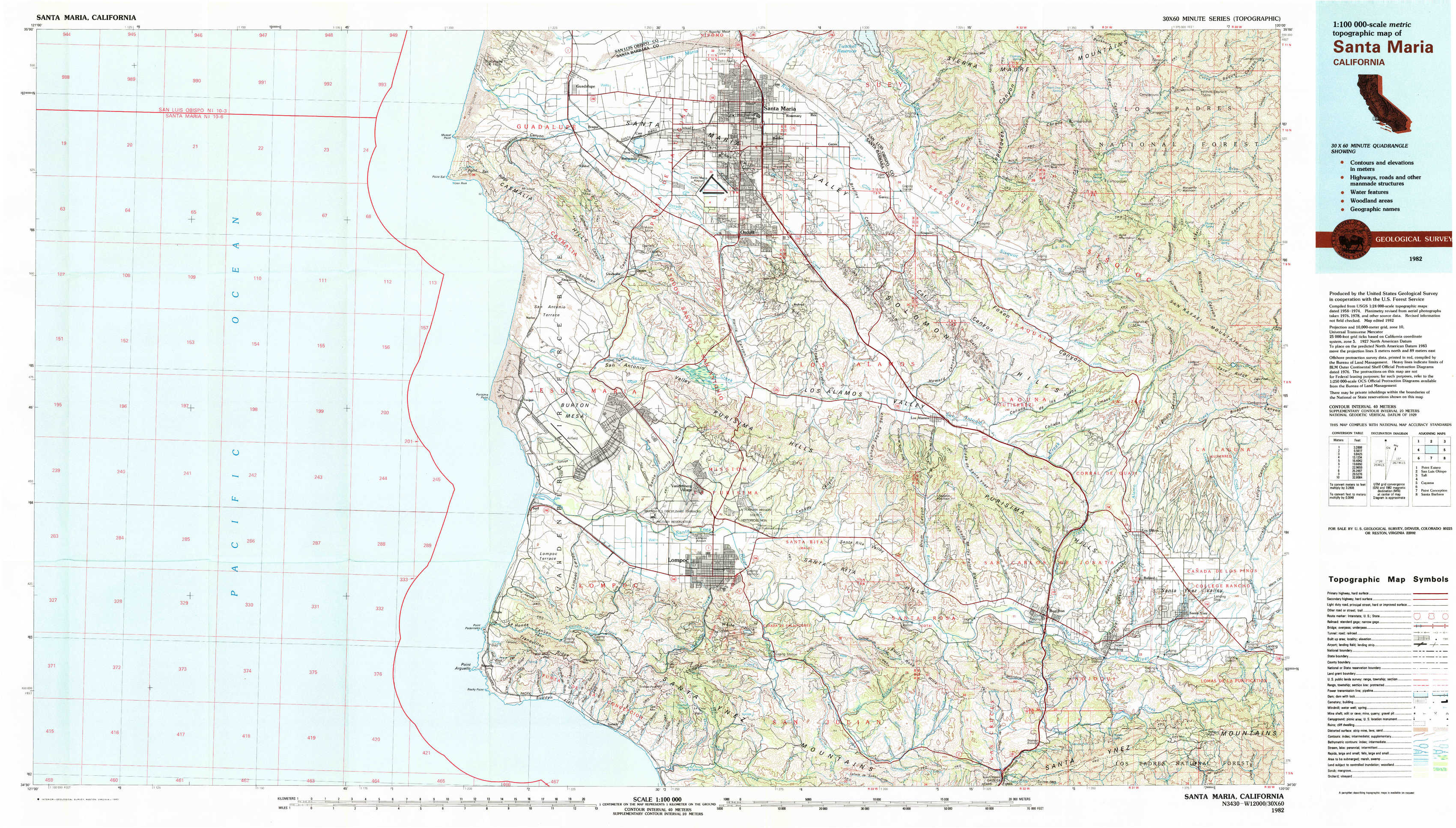
USGS Topo Map 34120e1 - 1:100,000 scale
| Topo Map Name: | Santa Maria |
| USGS Topo Quad ID: | 34120e1 |
| Print Size: | ca. 39" wide x 24" high |
| Southeast Coordinates: | 34.5° N latitude / 120° W longitude |
| Map Center Coordinates: | 34.75° N latitude / 120.5° W longitude |
| U.S. State: | CA |
| Filename: | 34120e1.jpg |
| Download Map JPG Image: | Santa Maria topo map 1:100,000 scale |
| Map Type: | Topographic |
| Topo Series: | 30´x60´ |
| Map Scale: | 1:100,000 |
| Source of Map Images: | United States Geological Survey (USGS) |
| Alternate Map Versions: |
Santa Maria CA 1982, updated 1983 Download PDF Buy paper map Santa Maria CA 1982, updated 1983 Download PDF Buy paper map |
1:100,000 Topos surrounding Santa Maria
Point Estero |
San Luis Obispo |
Taft |
Santa Maria |
Cuyama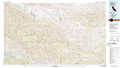 |
|
Point Conception |
Santa Barbara |
> Back to 34120a1 at 1:250,000 scale
> Back to U.S. Topo Maps home
1:24,000 Topo Quads covered by the spatial extent of this 100k map (Santa Maria)
|
Point Sal 
|
Guadalupe 
|
Santa Maria 
|
Twitchell Dam 
|
Tepusquet Canyon 
|
Manzanita Mountain 
|
||
|
Casmalia 
|
Orcutt 
|
Sisquoc 
|
Foxen Canyon 
|
Zaca Lake 
|
|||
|
Surf 
|
Lompoc 
|
Los Alamos 
|
Zaca Creek 
|
Los Olivos 
|
|||
|
Point Arguello 
|
Tranquillon Mountain 
|
Lompoc Hills 
|
Santa Rosa Hills 
|
Solvang 
|
Santa Ynez 
|