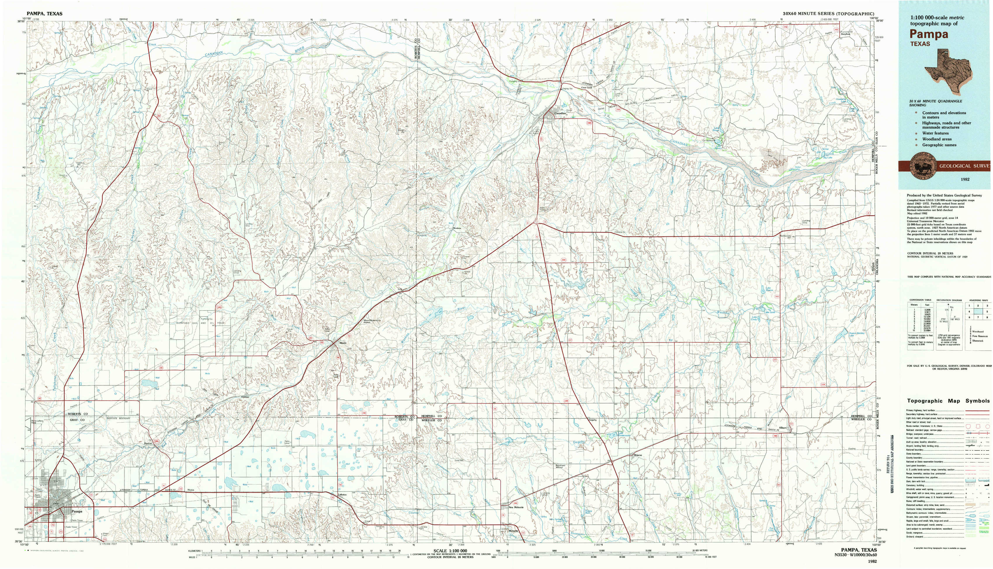
Pampa Topo Map Texas
To zoom in, hover over the map of Pampa
USGS Topo Map 35100e1 - 1:100,000 scale
| Topo Map Name: | Pampa |
| USGS Topo Quad ID: | 35100e1 |
| Print Size: | ca. 39" wide x 24" high |
| Southeast Coordinates: | 35.5° N latitude / 100° W longitude |
| Map Center Coordinates: | 35.75° N latitude / 100.5° W longitude |
| U.S. State: | TX |
| Filename: | 35100e1.jpg |
| Download Map JPG Image: | Pampa topo map 1:100,000 scale |
| Map Type: | Topographic |
| Topo Series: | 30´x60´ |
| Map Scale: | 1:100,000 |
| Source of Map Images: | United States Geological Survey (USGS) |
| Alternate Map Versions: |
Pampa TX 1982, updated 1983 Download PDF Buy paper map |
1:100,000 Topos surrounding Pampa
Spearman |
Perryton |
Woodward |
Borger |
Pampa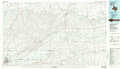 |
Foss Reservoir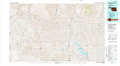 |
Amarillo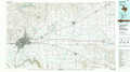 |
Shamrock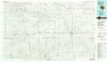 |
Elk City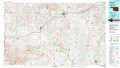 |
> Back to 35100a1 at 1:250,000 scale
> Back to U.S. Topo Maps home
1:24,000 Topo Quads covered by the spatial extent of this 100k map (Pampa)
|
Dry Creek North 
|
Dry Creek Ne 
|
Horse Creek North 
|
East Dry Creek 
|
Canadian West 
|
Canadian East 
|
Lake Marvin 
|
Dreyfoos 
|
|
Dry Creek South 
|
Dry Creek Se 
|
Horse Creek South 
|
Washburn Arroyo 
|
Mendota 
|
Canadian Se 
|
Blue Ridge School 
|
Gem 
|
|
Pampa Nw 
|
Pampa Ne 
|
Miami 
|
Lora 
|
Young Ranch 
|
Dads Creek 
|
Lake June 
|
Hackberry Creek 
|
|
Pampa 
|
Hoover 
|
Laketon 
|
Tody School 
|
Mobeetie 
|
Briscoe 
|
Allison Sw 
|
Allison 
|