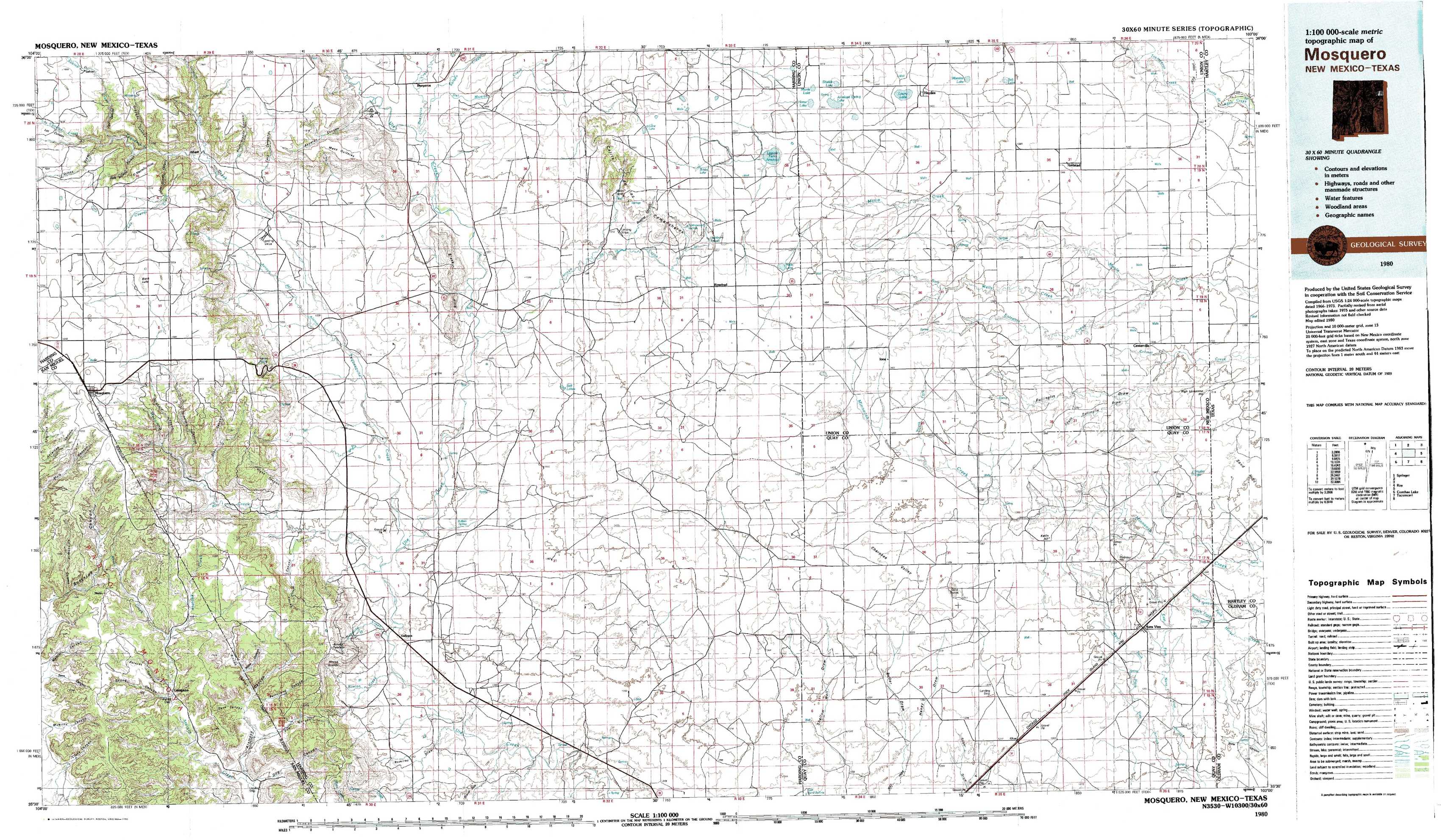
Mosquero Topo Map New Mexico
To zoom in, hover over the map of Mosquero
USGS Topo Map 35103e1 - 1:100,000 scale
| Topo Map Name: | Mosquero |
| USGS Topo Quad ID: | 35103e1 |
| Print Size: | ca. 39" wide x 24" high |
| Southeast Coordinates: | 35.5° N latitude / 103° W longitude |
| Map Center Coordinates: | 35.75° N latitude / 103.5° W longitude |
| U.S. States: | NM, TX |
| Filename: | 35103e1.jpg |
| Download Map JPG Image: | Mosquero topo map 1:100,000 scale |
| Map Type: | Topographic |
| Topo Series: | 30´x60´ |
| Map Scale: | 1:100,000 |
| Source of Map Images: | United States Geological Survey (USGS) |
| Alternate Map Versions: | none available in database |
1:100,000 Topos surrounding Mosquero
Springer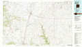 |
Clayton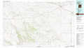 |
Dalhart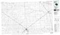 |
Roy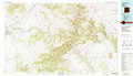 |
Mosquero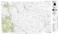 |
Hartley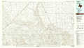 |
Conchas Lake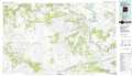 |
Tucumcari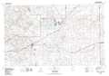 |
Vega |
> Back to 35102a1 at 1:250,000 scale
> Back to U.S. Topo Maps home
1:24,000 Topo Quads covered by the spatial extent of this 100k map (Mosquero)
|
Sabino 
|
Albert 
|
Bueyeros 
|
Bueyeros Ne 
|
Cottonwood Springs 
|
Hayden 
|
Amistad 
|
Koger Ranch 
|
|
Mosquero 
|
Arroyo Del Alamo 
|
Circle Bar Ranch 
|
Indian Bathtub 
|
Rosebud 
|
Ione 
|
Centerville Corner 
|
Amistad Se 
|
|
Chinaberry Canyon 
|
Salitre Canyon 
|
Buffalo Springs 
|
Gallegos Ne 
|
Mccloy Ranch 
|
Cherokee Valley 
|
Kerlin Hill 
|
Doyle Hill 
|
|
Campana 
|
Alamosa Canyon 
|
Gallegos 
|
Fuentes Ranch 
|
Mccarty Ranch 
|
Lockney 
|
Obar 
|
Nara Visa 
|