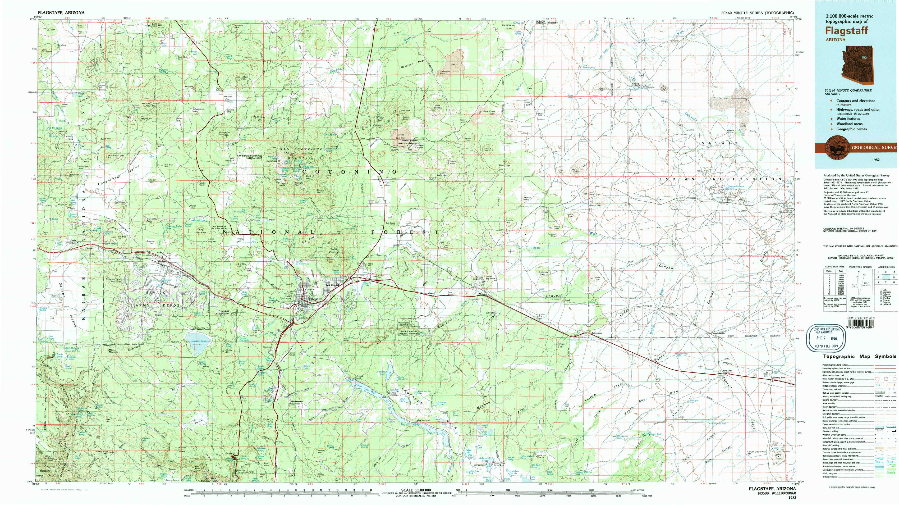
Flagstaff Topo Map Arizona
To zoom in, hover over the map of Flagstaff
USGS Topo Map 35111a1 - 1:100,000 scale
| Topo Map Name: | Flagstaff |
| USGS Topo Quad ID: | 35111a1 |
| Print Size: | ca. 39" wide x 24" high |
| Southeast Coordinates: | 35° N latitude / 111° W longitude |
| Map Center Coordinates: | 35.25° N latitude / 111.5° W longitude |
| U.S. State: | AZ |
| Filename: | 35111a1.jpg |
| Download Map JPG Image: | Flagstaff topo map 1:100,000 scale |
| Map Type: | Topographic |
| Topo Series: | 30´x60´ |
| Map Scale: | 1:100,000 |
| Source of Map Images: | United States Geological Survey (USGS) |
| Alternate Map Versions: |
Flagstaff AZ 1982, updated 1983 Download PDF Buy paper map Flagstaff AZ 1982, updated 1983 Download PDF Buy paper map |
1:100,000 Topos surrounding Flagstaff
Valle |
Cameron |
Polacca |
Williams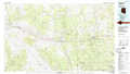 |
Flagstaff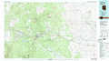 |
Winslow |
Prescott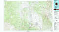 |
Sedona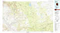 |
Holbrook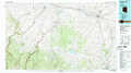 |
> Back to 35110a1 at 1:250,000 scale
> Back to U.S. Topo Maps home
1:24,000 Topo Quads covered by the spatial extent of this 100k map (Flagstaff)
|
Moritz Ridge 
|
Kendrick Peak 
|
White Horse Hills 
|
O'Leary Peak 
|
Strawberry Crater 
|
Roden Crater 
|
Grand Falls 
|
Grand Falls Ne 
|
|
Parks 
|
Wing Mountain 
|
Humphreys Peak 
|
Sunset Crater West 
|
Sunset Crater East 
|
Merriam Crater 
|
Grand Falls Sw 
|
Grand Falls Se 
|
|
Garland Prairie 
|
Bellemont 
|
Flagstaff West 
|
Flagstaff East 
|
Winona 
|
Angell 
|
Babbitt Wash 
|
Canyon Diablo 
|
|
Sycamore Point 
|
Dutton Hill 
|
Mountainaire 
|
Lower Lake Mary 
|
Ashurst Lake 
|
Elliott Canyon 
|
Anderson Canyon 
|
Meteor Crater 
|