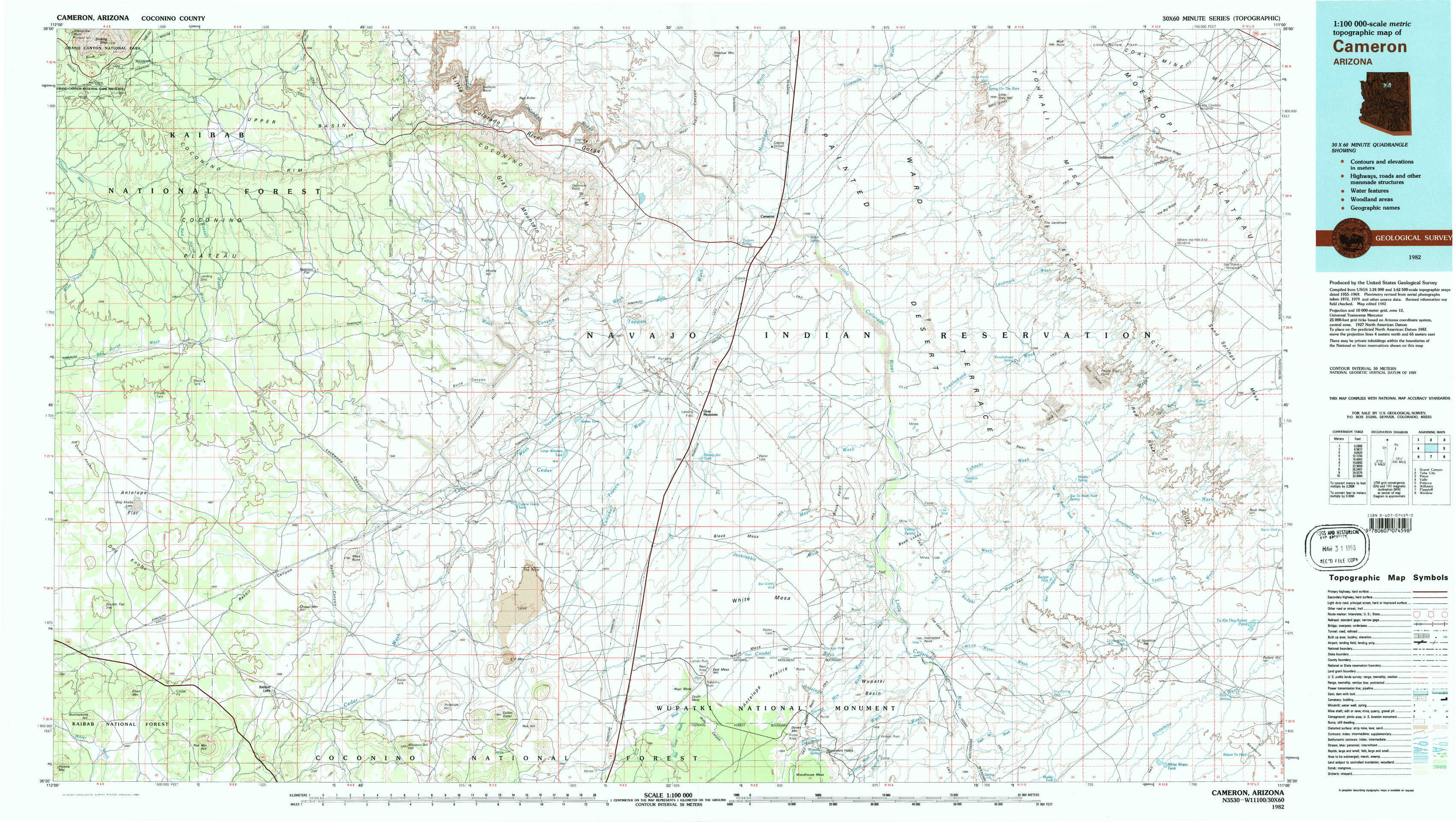
Cameron Topo Map Arizona
To zoom in, hover over the map of Cameron
USGS Topo Map 35111e1 - 1:100,000 scale
| Topo Map Name: | Cameron |
| USGS Topo Quad ID: | 35111e1 |
| Print Size: | ca. 39" wide x 24" high |
| Southeast Coordinates: | 35.5° N latitude / 111° W longitude |
| Map Center Coordinates: | 35.75° N latitude / 111.5° W longitude |
| U.S. State: | AZ |
| Filename: | 35111e1.jpg |
| Download Map JPG Image: | Cameron topo map 1:100,000 scale |
| Map Type: | Topographic |
| Topo Series: | 30´x60´ |
| Map Scale: | 1:100,000 |
| Source of Map Images: | United States Geological Survey (USGS) |
| Alternate Map Versions: |
Cameron AZ 1982, updated 1983 Download PDF Buy paper map |
1:100,000 Topos surrounding Cameron
Grand Canyon |
Tuba City |
Pinon |
Valle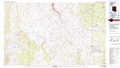 |
Cameron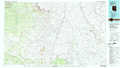 |
Polacca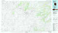 |
Williams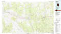 |
Flagstaff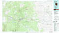 |
Winslow |
> Back to 35110a1 at 1:250,000 scale
> Back to U.S. Topo Maps home
1:24,000 Topo Quads covered by the spatial extent of this 100k map (Cameron)
|
Grandview Point 
|
Grandview Point Ne 
|
Hellhole Bend 
|
Coconino Point 
|
Cameron North 
|
Cameron Ne 
|
Goldtooth 
|
Appaloosa Ridge 
|
|
Harbison Tank 
|
Peterson Flat 
|
Willows Camp 
|
Coconino Point Se 
|
Cameron South 
|
Cameron Se 
|
The Landmark 
|
Gold Spring 
|
|
Dog Knobs 
|
Lockwood Canyon 
|
Additional Hill 
|
Campbell Francis Wash 
|
Gray Mountain 
|
Wupatki Ne 
|
Badger Spring 
|
Rock Head 
|
|
Ebert Mountain 
|
Chapel Mountain 
|
S P Mountain 
|
East Of S P Mountain 
|
Wupatki Sw 
|
Wupatki Se 
|
Standing Rocks 
|
White Water Tank 
|