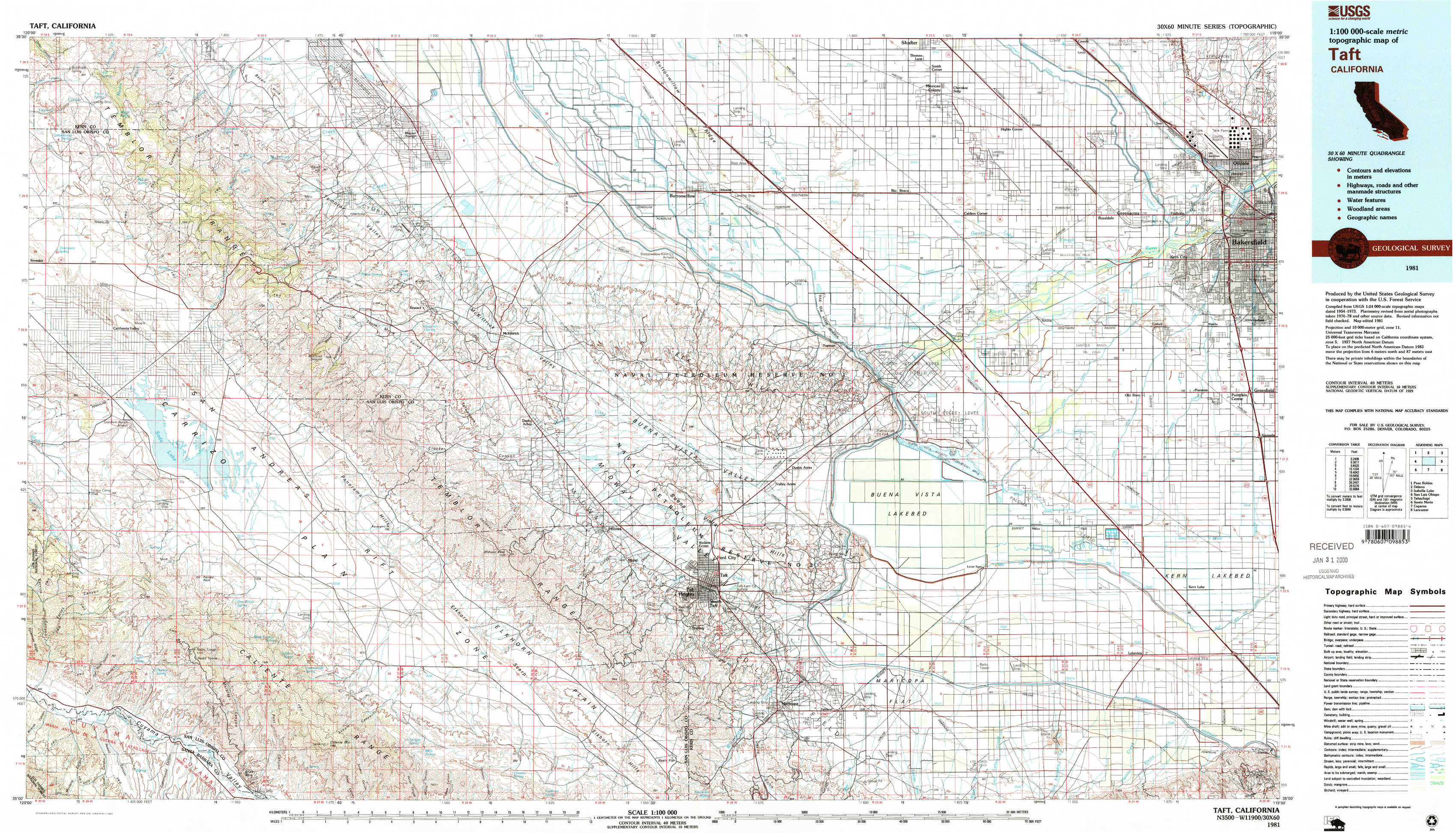
Taft Topo Map California
To zoom in, hover over the map of Taft
USGS Topo Map 35119a1 - 1:100,000 scale
| Topo Map Name: | Taft |
| USGS Topo Quad ID: | 35119a1 |
| Print Size: | ca. 39" wide x 24" high |
| Southeast Coordinates: | 35° N latitude / 119° W longitude |
| Map Center Coordinates: | 35.25° N latitude / 119.5° W longitude |
| U.S. State: | CA |
| Filename: | 35119a1.jpg |
| Download Map JPG Image: | Taft topo map 1:100,000 scale |
| Map Type: | Topographic |
| Topo Series: | 30´x60´ |
| Map Scale: | 1:100,000 |
| Source of Map Images: | United States Geological Survey (USGS) |
| Alternate Map Versions: |
Taft CA 1981, updated 1982 Download PDF Buy paper map Taft CA 1981, updated 1982 Download PDF Buy paper map |
1:100,000 Topos surrounding Taft
Paso Robles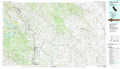 |
Delano |
Isabella Lake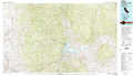 |
San Luis Obispo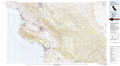 |
Taft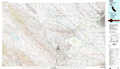 |
Tehachapi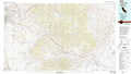 |
Santa Maria |
Cuyama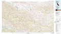 |
Lancaster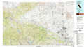 |
> Back to 35118a1 at 1:250,000 scale
> Back to U.S. Topo Maps home
1:24,000 Topo Quads covered by the spatial extent of this 100k map (Taft)
|
Las Yeguas Ranch 
|
Carneros Rocks 
|
Belridge 
|
Lokern 
|
Buttonwillow 
|
Rio Bravo 
|
Rosedale 
|
Oildale 
|
|
Simmler 
|
Mckittrick Summit 
|
Reward 
|
West Elk Hills 
|
East Elk Hills 
|
Tupman 
|
Stevens 
|
Gosford 
|
|
Chimineas Ranch 
|
Painted Rock 
|
Panorama Hills 
|
Fellows 
|
Taft 
|
Buena Vista Lakebed 
|
Millux 
|
Conner 
|
|
Taylor Canyon 
|
Caliente Mountain 
|
Wells Ranch 
|
Elkhorn Hills 
|
Maricopa 
|
Pentland 
|
Conner Sw 
|
Coal Oil Canyon 
|