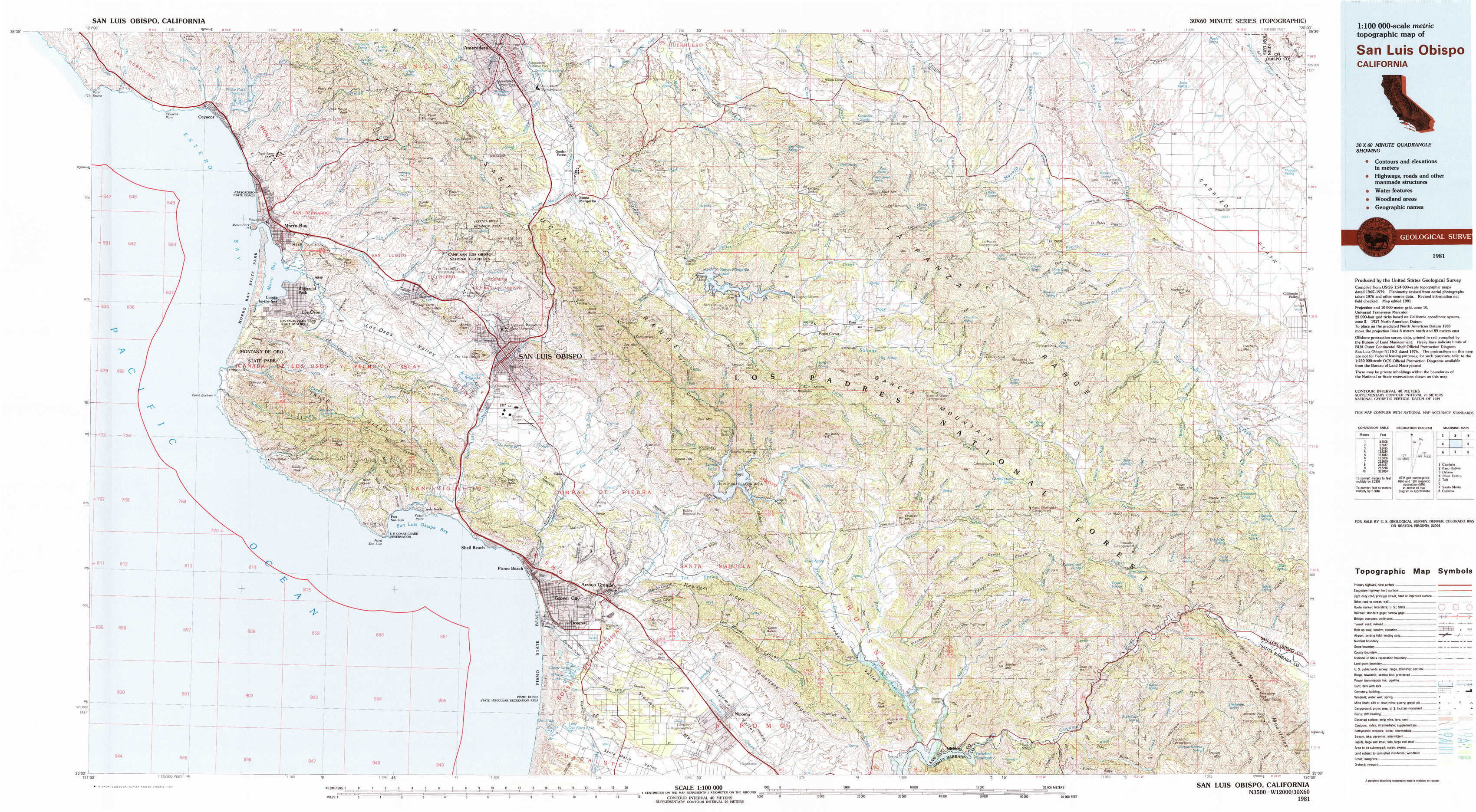
San Luis Obispo Topo Map California
To zoom in, hover over the map of San Luis Obispo
USGS Topo Map 35120a1 - 1:100,000 scale
| Topo Map Name: | San Luis Obispo |
| USGS Topo Quad ID: | 35120a1 |
| Print Size: | ca. 39" wide x 24" high |
| Southeast Coordinates: | 35° N latitude / 120° W longitude |
| Map Center Coordinates: | 35.25° N latitude / 120.5° W longitude |
| U.S. State: | CA |
| Filename: | 35120a1.jpg |
| Download Map JPG Image: | San Luis Obispo topo map 1:100,000 scale |
| Map Type: | Topographic |
| Topo Series: | 30´x60´ |
| Map Scale: | 1:100,000 |
| Source of Map Images: | United States Geological Survey (USGS) |
| Alternate Map Versions: |
San Luis Obispo CA 1981, updated 1981 Download PDF Buy paper map San Luis Obispo CA 1981, updated 1988 Download PDF Buy paper map San Luis Obispo CA 1981, updated 1988 Download PDF Buy paper map |
1:100,000 Topos surrounding San Luis Obispo
Cambria |
Paso Robles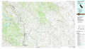 |
Delano |
Point Estero |
San Luis Obispo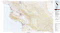 |
Taft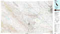 |
Santa Maria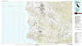 |
Cuyama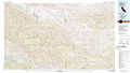 |
> Back to 35120a1 at 1:250,000 scale
> Back to U.S. Topo Maps home
1:24,000 Topo Quads covered by the spatial extent of this 100k map (San Luis Obispo)
|
Cayucos 
|
Morro Bay North 
|
Atascadero 
|
Santa Margarita 
|
Wilson Corner 
|
Camatta Ranch 
|
La Panza Ranch 
|
La Panza Ne 
|
|
Morro Bay South 
|
San Luis Obispo 
|
Lopez Mountain 
|
Santa Margarita Lake 
|
Pozo Summit 
|
La Panza 
|
California Valley 
|
|
|
Port San Luis 
|
Pismo Beach 
|
Arroyo Grande Ne 
|
Tar Spring Ridge 
|
Caldwell Mesa 
|
Los Machos Hills 
|
Branch Mountain 
|
|
|
Oceano 
|
Nipomo 
|
Huasna Peak 
|
Chimney Canyon 
|
Miranda Pine Mountain 
|