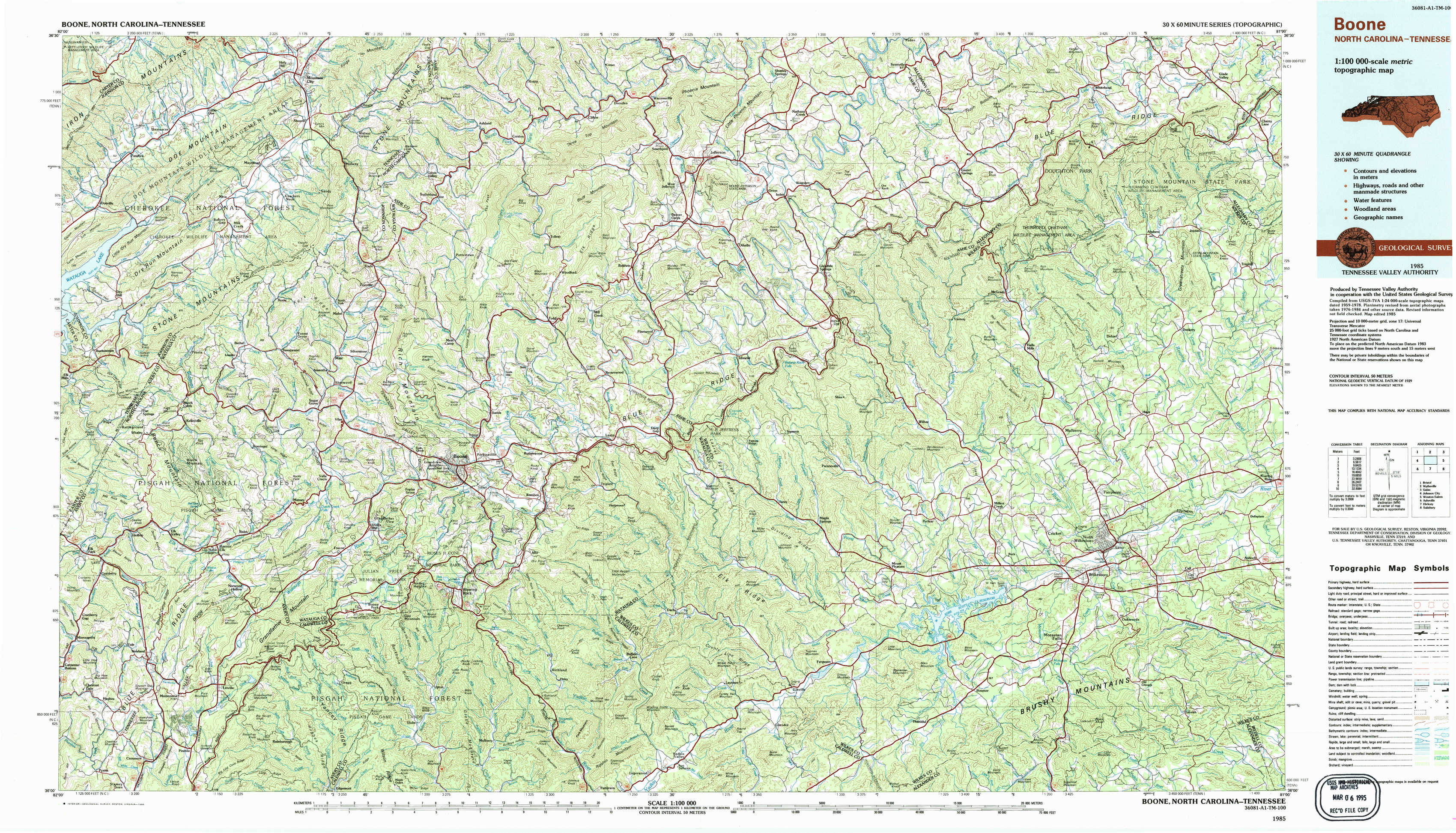
Boone Topo Map North Carolina
To zoom in, hover over the map of Boone
USGS Topo Map 36081a1 - 1:100,000 scale
| Topo Map Name: | Boone |
| USGS Topo Quad ID: | 36081a1 |
| Print Size: | ca. 39" wide x 24" high |
| Southeast Coordinates: | 36° N latitude / 81° W longitude |
| Map Center Coordinates: | 36.25° N latitude / 81.5° W longitude |
| U.S. States: | NC, TN |
| Filename: | 36081a1.jpg |
| Download Map JPG Image: | Boone topo map 1:100,000 scale |
| Map Type: | Topographic |
| Topo Series: | 30´x60´ |
| Map Scale: | 1:100,000 |
| Source of Map Images: | United States Geological Survey (USGS) |
| Alternate Map Versions: |
Boone NC 1985, updated 1986 Download PDF Buy paper map Boone NC 1985, updated 1986 Download PDF Buy paper map |
1:100,000 Topos surrounding Boone
Bristol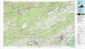 |
Wytheville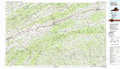 |
Galax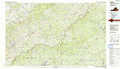 |
Johnson City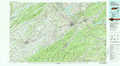 |
Boone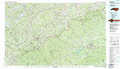 |
Winston-Salem |
Asheville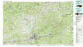 |
Hickory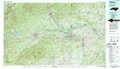 |
Salisbury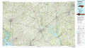 |
> Back to 36080a1 at 1:250,000 scale
> Back to U.S. Topo Maps home
1:24,000 Topo Quads covered by the spatial extent of this 100k map (Boone)
|
Doe 
|
Mountain City 
|
Baldwin Gap 
|
Warrensville 
|
Jefferson 
|
Laurel Springs 
|
Whitehead 
|
Glade Valley 
|
|
Elk Mills 
|
Sherwood 
|
Zionville 
|
Todd 
|
Glendale Springs 
|
Horse Gap 
|
Mcgrady 
|
Traphill 
|
|
Elk Park 
|
Valle Crucis 
|
Boone 
|
Deep Gap 
|
Maple Springs 
|
Purlear 
|
Wilkesboro 
|
Roaring River 
|
|
Newland 
|
Grandfather Mountain 
|
Globe 
|
Buffalo Cove 
|
Grandin 
|
Boomer 
|
Moravian Falls 
|
Gilreath 
|