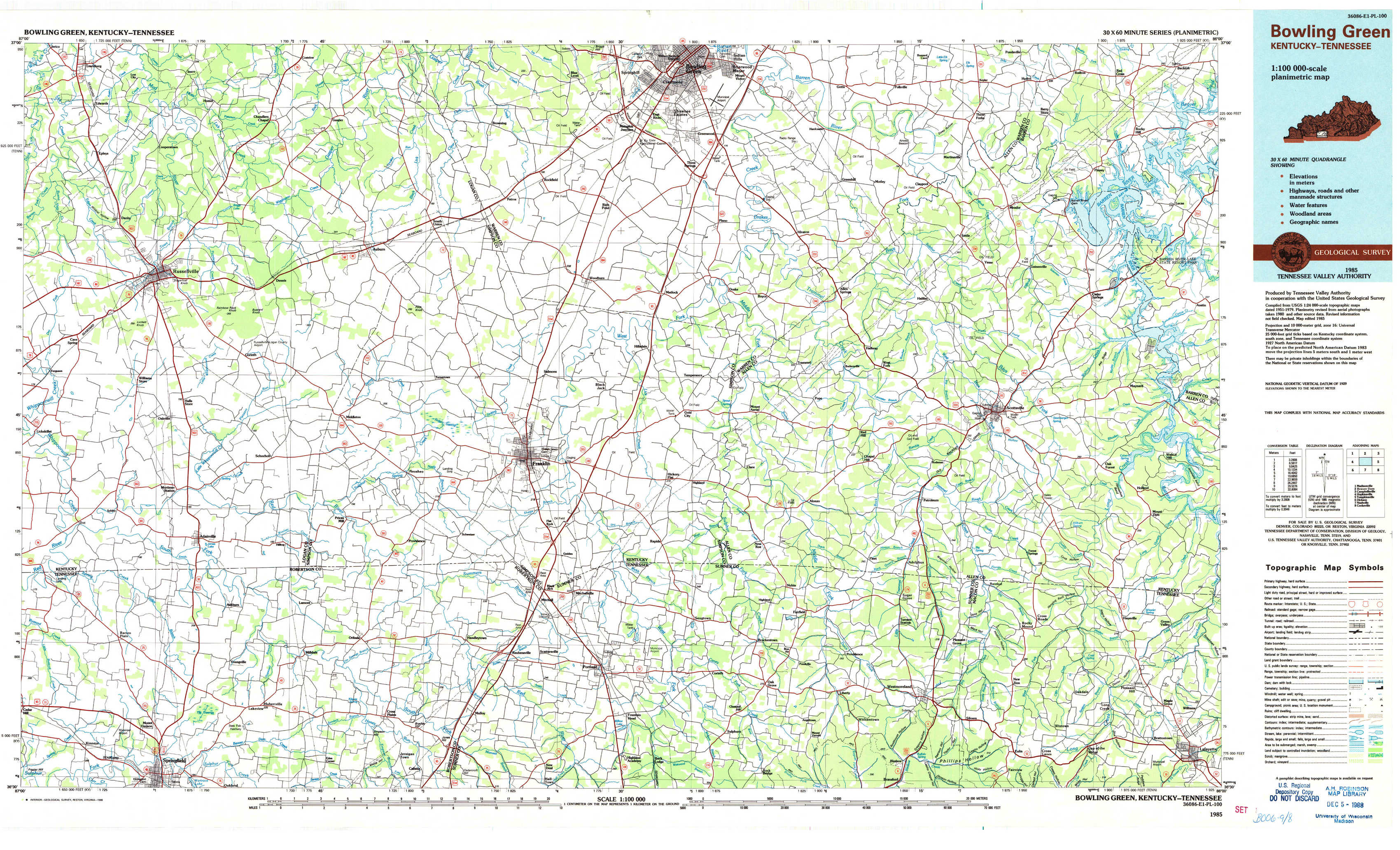
Bowling Green Topo Map Kentucky
To zoom in, hover over the map of Bowling Green
USGS Topo Map 36086e1 - 1:100,000 scale
| Topo Map Name: | Bowling Green |
| USGS Topo Quad ID: | 36086e1 |
| Print Size: | ca. 39" wide x 24" high |
| Southeast Coordinates: | 36.5° N latitude / 86° W longitude |
| Map Center Coordinates: | 36.75° N latitude / 86.5° W longitude |
| U.S. States: | KY, TN |
| Filename: | 36086e1.jpg |
| Download Map JPG Image: | Bowling Green topo map 1:100,000 scale |
| Map Type: | Topographic |
| Topo Series: | 30´x60´ |
| Map Scale: | 1:100,000 |
| Source of Map Images: | United States Geological Survey (USGS) |
| Alternate Map Versions: |
Bowling Green KY 1985, updated 1985 Download PDF Buy paper map Bowling Green KY 1985, updated 1991 Download PDF Buy paper map Bowling Green KY 1985, updated 1998 Download PDF Buy paper map |
1:100,000 Topos surrounding Bowling Green
Madisonville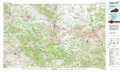 |
Beaver Dam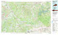 |
Campbellsville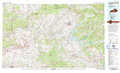 |
Hopkinsville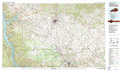 |
Bowling Green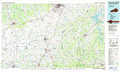 |
Tompkinsville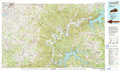 |
Dickson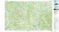 |
Nashville |
Cookeville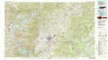 |
> Back to 36086a1 at 1:250,000 scale
> Back to U.S. Topo Maps home
1:24,000 Topo Quads covered by the spatial extent of this 100k map (Bowling Green)
|
Lewisburg 
|
Homer 
|
South Union 
|
Rockfield 
|
Bowling Green South 
|
Polkville 
|
Meador 
|
Lucas 
|
|
Russellville 
|
Dennis 
|
Auburn 
|
Woodburn 
|
Drake 
|
Allen Springs 
|
Scottsville 
|
Austin 
|
|
Dot 
|
Adairville 
|
Prices Mill 
|
Franklin 
|
Hickory Flat 
|
Adolphus 
|
Petroleum 
|
Holland 
|
|
Springfield North 
|
Youngville 
|
Orlinda 
|
Portland 
|
Fountain Head 
|
Turners Station 
|
Westmoreland 
|
Lafayette 
|