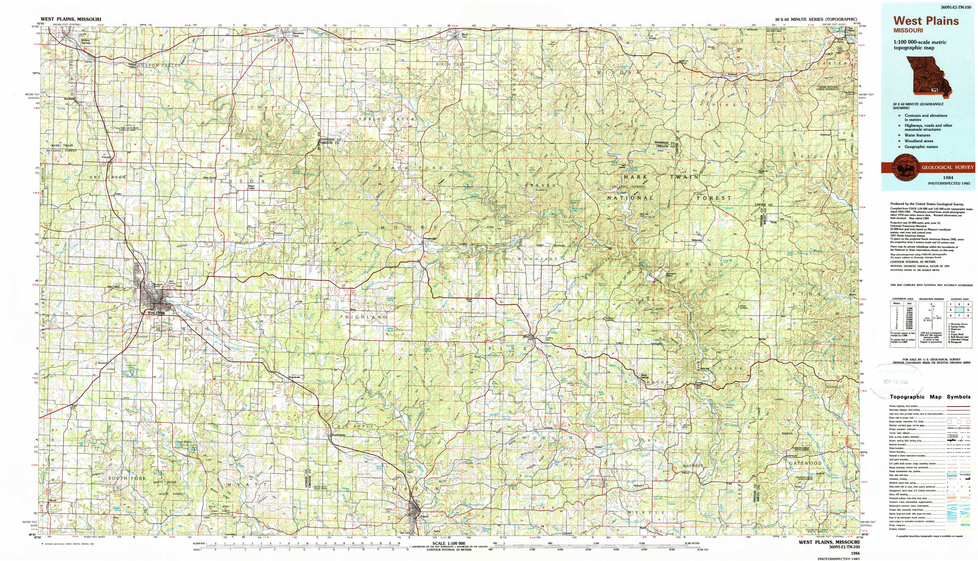
West Plains Topo Map Missouri
To zoom in, hover over the map of West Plains
USGS Topo Map 36091e1 - 1:100,000 scale
| Topo Map Name: | West Plains |
| USGS Topo Quad ID: | 36091e1 |
| Print Size: | ca. 39" wide x 24" high |
| Southeast Coordinates: | 36.5° N latitude / 91° W longitude |
| Map Center Coordinates: | 36.75° N latitude / 91.5° W longitude |
| U.S. State: | MO |
| Filename: | 36091e1.jpg |
| Download Map JPG Image: | West Plains topo map 1:100,000 scale |
| Map Type: | Topographic |
| Topo Series: | 30´x60´ |
| Map Scale: | 1:100,000 |
| Source of Map Images: | United States Geological Survey (USGS) |
| Alternate Map Versions: |
West Plains MO 1984, updated 1984 Download PDF Buy paper map West Plains MO 1984, updated 1990 Download PDF Buy paper map |
1:100,000 Topos surrounding West Plains
Mountain Grove |
Spring Valley |
Piedmont |
Ava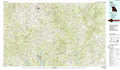 |
West Plains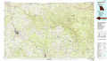 |
Poplar Bluff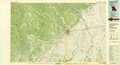 |
Bull Shoals Lake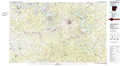 |
Cherokee Village |
Paragould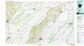 |
> Back to 36090a1 at 1:250,000 scale
> Back to U.S. Topo Maps home
1:24,000 Topo Quads covered by the spatial extent of this 100k map (West Plains)
|
Willow Springs South 
|
Trask 
|
Mountain View 
|
Montier 
|
Birch Tree 
|
Low Wassie 
|
Fremont 
|
Van Buren South 
|
|
Pomona 
|
White Church 
|
Peace Valley 
|
Thomasville 
|
Peidmont Hollow 
|
Greer 
|
Wilderness 
|
Handy 
|
|
South Fork 
|
West Plains 
|
Brandsville 
|
Rover 
|
Alton 
|
Many Springs 
|
Riverton 
|
Bardley 
|
|
Moody 
|
Lanton 
|
Koshkonong 
|
Thayer 
|
Conch 
|
Myrtle 
|
Billmore 
|
Gatewood 
|