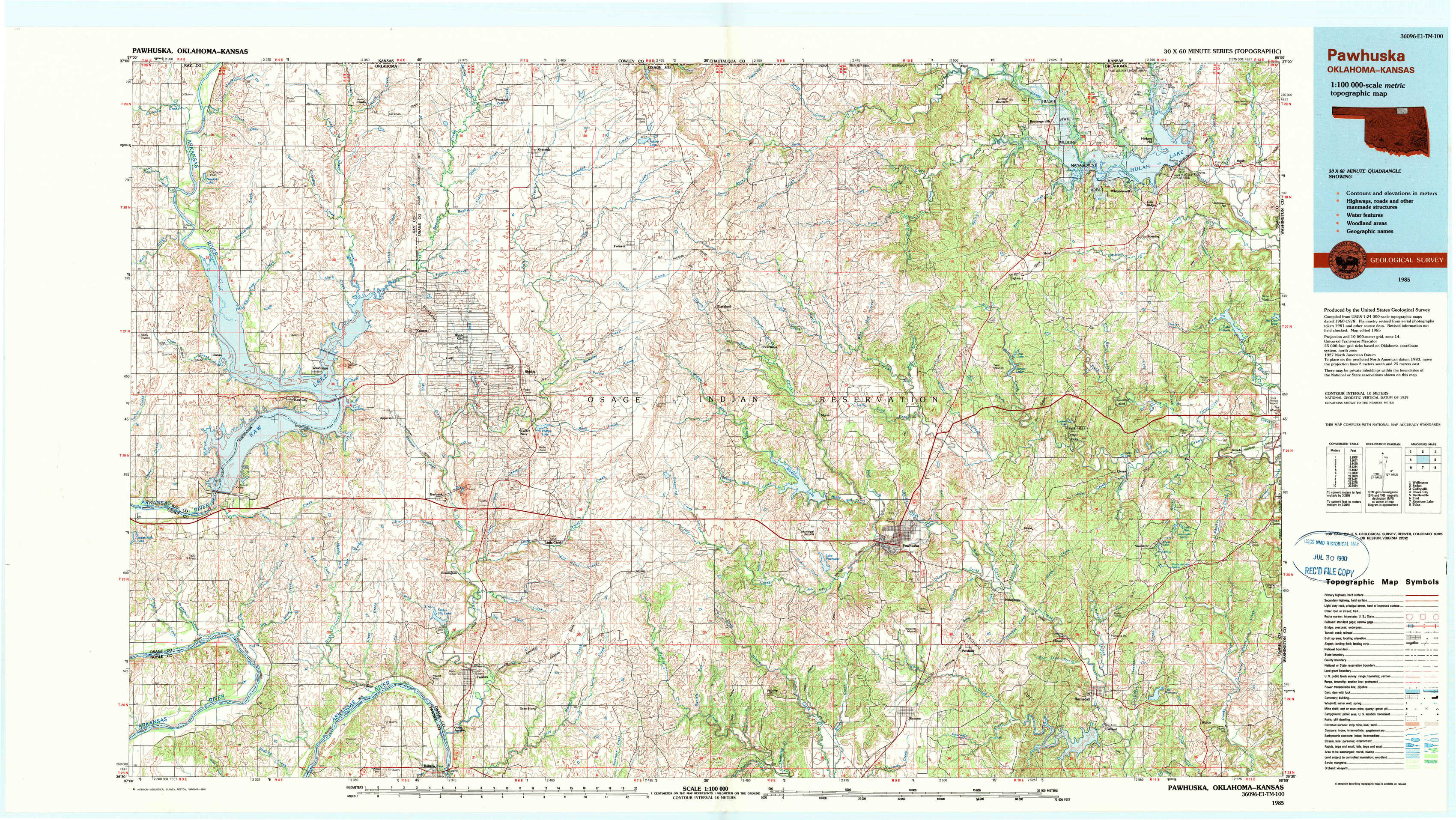
Pawhuska Topo Map Oklahoma
To zoom in, hover over the map of Pawhuska
USGS Topo Map 36096e1 - 1:100,000 scale
| Topo Map Name: | Pawhuska |
| USGS Topo Quad ID: | 36096e1 |
| Print Size: | ca. 39" wide x 24" high |
| Southeast Coordinates: | 36.5° N latitude / 96° W longitude |
| Map Center Coordinates: | 36.75° N latitude / 96.5° W longitude |
| U.S. States: | OK, KS |
| Filename: | 36096e1.jpg |
| Download Map JPG Image: | Pawhuska topo map 1:100,000 scale |
| Map Type: | Topographic |
| Topo Series: | 30´x60´ |
| Map Scale: | 1:100,000 |
| Source of Map Images: | United States Geological Survey (USGS) |
| Alternate Map Versions: |
Pawhuska OK 1985, updated 1986 Download PDF Buy paper map Pawhuska OK 1985, updated 1990 Download PDF Buy paper map |
1:100,000 Topos surrounding Pawhuska
Wellington |
Sedan |
Coffeyville |
Ponca City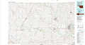 |
Pawhuska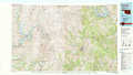 |
Bartlesville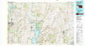 |
Enid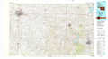 |
Keystone Lake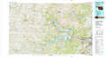 |
Tulsa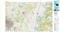 |
> Back to 36096a1 at 1:250,000 scale
> Back to U.S. Topo Maps home
1:24,000 Topo Quads covered by the spatial extent of this 100k map (Pawhuska)
|
Kaw City Nw 
|
Hardy 
|
Grainola 
|
Foraker North 
|
Pearsonia Nw 
|
Pearsonia Ne 
|
Whippoorwill 
|
Bowring 
|
|
Uncas 
|
Kaw City 
|
Shidler 
|
Foraker South 
|
Pearsonia 
|
Nanos 
|
Herd 
|
Bowring Se 
|
|
Charley Creek East 
|
Charley Creek West 
|
Burbank 
|
Baconrind Creek 
|
Bluestem Lake 
|
Pawhuska 
|
Nelagoney 
|
Woolaroc 
|
|
Prettyhair Creek 
|
Doga Creek 
|
Fairfax 
|
Lucy Creek 
|
Happy Hollow 
|
Wynona 
|
Barnsdall 
|
Wolco 
|