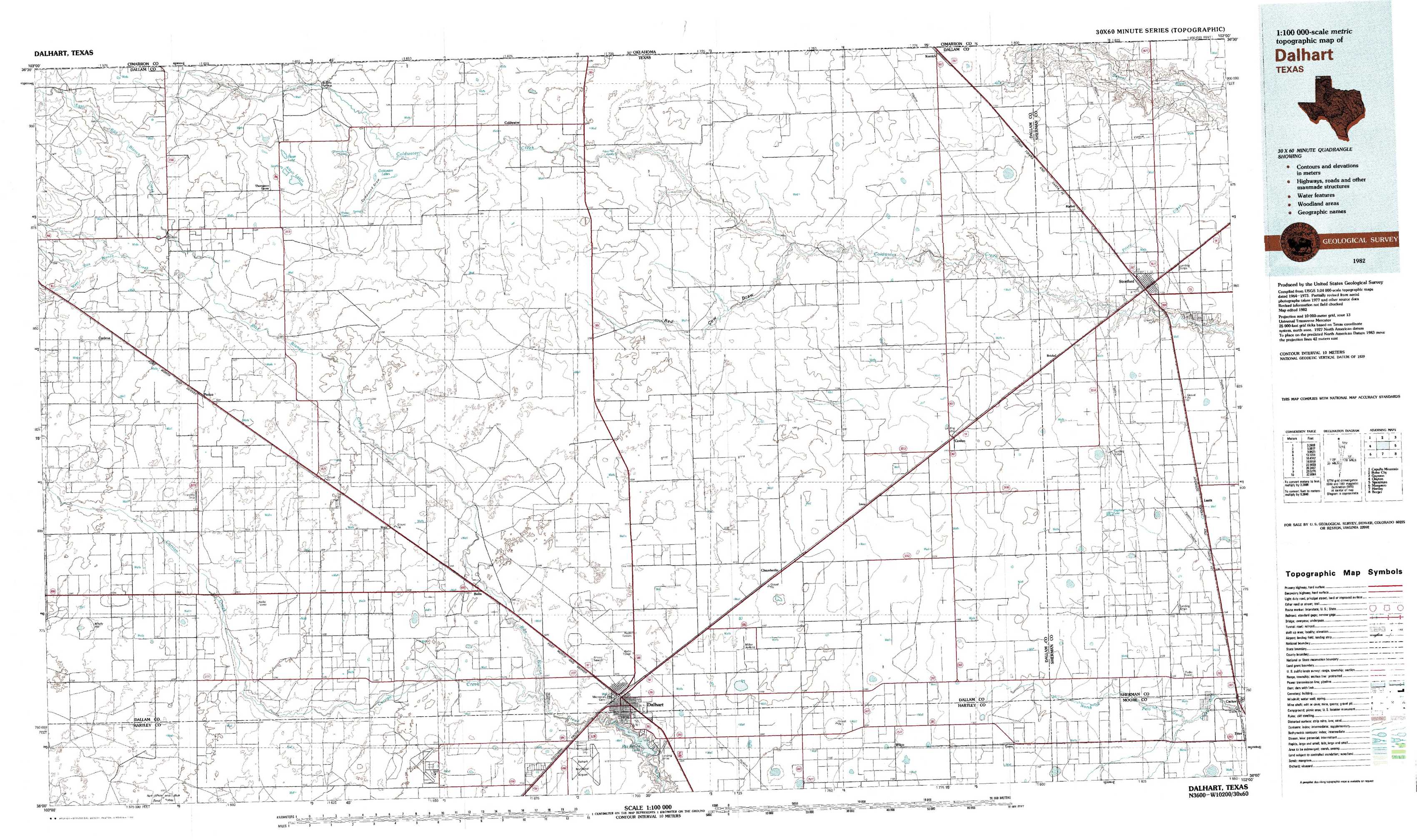
Dalhart Topo Map Texas
To zoom in, hover over the map of Dalhart
USGS Topo Map 36102a1 - 1:100,000 scale
| Topo Map Name: | Dalhart |
| USGS Topo Quad ID: | 36102a1 |
| Print Size: | ca. 39" wide x 24" high |
| Southeast Coordinates: | 36° N latitude / 102° W longitude |
| Map Center Coordinates: | 36.25° N latitude / 102.5° W longitude |
| U.S. States: | TX, OK |
| Filename: | 36102a1.jpg |
| Download Map JPG Image: | Dalhart topo map 1:100,000 scale |
| Map Type: | Topographic |
| Topo Series: | 30´x60´ |
| Map Scale: | 1:100,000 |
| Source of Map Images: | United States Geological Survey (USGS) |
| Alternate Map Versions: | none available in database |
1:100,000 Topos surrounding Dalhart
Capulin Mountain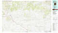 |
Boise City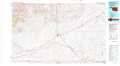 |
Guymon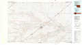 |
Clayton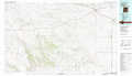 |
Dalhart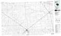 |
Spearman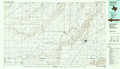 |
Mosquero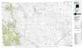 |
Hartley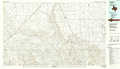 |
Borger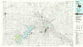 |
> Back to 36102a1 at 1:250,000 scale
> Back to U.S. Topo Maps home
1:24,000 Topo Quads covered by the spatial extent of this 100k map (Dalhart)
|
Corlena Nw 
|
Buffalo Springs 
|
Coldwater West 
|
Coldwater East 
|
Stratford 2 Nw 
|
Stratford 2 Ne 
|
Kerrick 
|
Stratford Ne 
|
|
Corlena 
|
Perico 
|
Tovrea Ranch 
|
Pritchard Ranch 
|
Stratford 2 Sw 
|
Stratford 2 Se 
|
Brickel 
|
Stratford 
|
|
Windy Hill Nw 
|
Wharton Ranch 
|
Bolin 
|
Bolin Ne 
|
Chamberlin 
|
Wilco Ne 
|
Conlen 
|
Lautz 
|
|
Windy Hill 
|
Wells Ranch 
|
Canyon School 
|
Dalhart West 
|
Dalhart East 
|
Wilco 
|
Exum 
|
Cactus West 
|