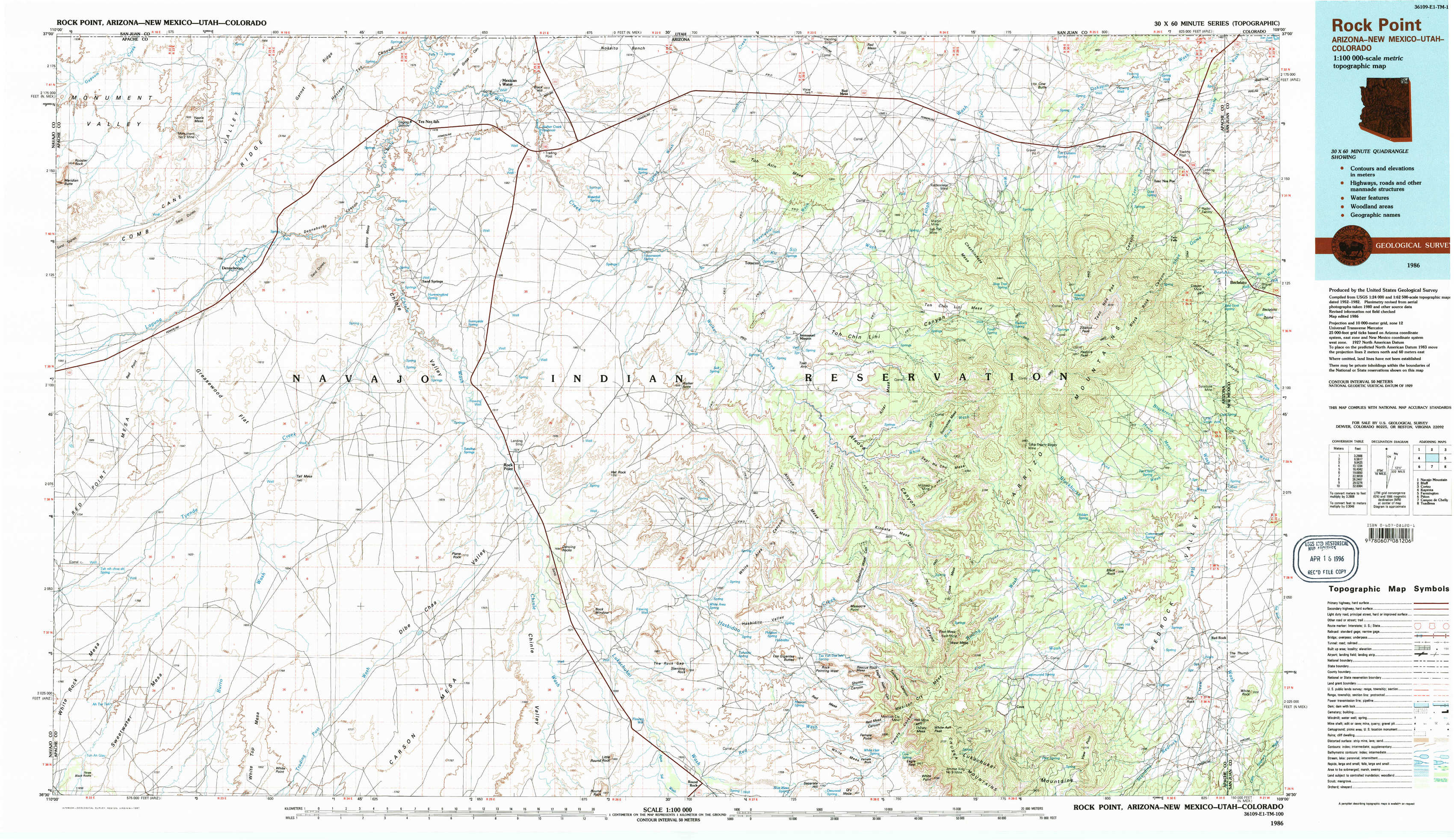
Rock Point Topo Map Arizona
To zoom in, hover over the map of Rock Point
USGS Topo Map 36109e1 - 1:100,000 scale
| Topo Map Name: | Rock Point |
| USGS Topo Quad ID: | 36109e1 |
| Print Size: | ca. 39" wide x 24" high |
| Southeast Coordinates: | 36.5° N latitude / 109° W longitude |
| Map Center Coordinates: | 36.75° N latitude / 109.5° W longitude |
| U.S. States: | AZ, NM, UT, CO |
| Filename: | 36109e1.jpg |
| Download Map JPG Image: | Rock Point topo map 1:100,000 scale |
| Map Type: | Topographic |
| Topo Series: | 30´x60´ |
| Map Scale: | 1:100,000 |
| Source of Map Images: | United States Geological Survey (USGS) |
| Alternate Map Versions: |
Rock Point AZ 1986, updated 1987 Download PDF Buy paper map Rock Point AZ 1986, updated 1987 Download PDF Buy paper map |
1:100,000 Topos surrounding Rock Point
Navajo Mountain |
Bluff |
Cortez |
Kayenta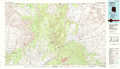 |
Rock Point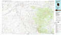 |
Farmington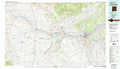 |
Pinon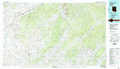 |
Canyon De Chelly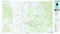 |
Toadlena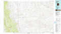 |
> Back to 36108a1 at 1:250,000 scale
> Back to U.S. Topo Maps home
1:24,000 Topo Quads covered by the spatial extent of this 100k map (Rock Point)
|
Rooster Rock 
|
Garnet Ridge 
|
Mexican Water 
|
Walker Creek Reservoir 
|
Toh Atin Mesa West 
|
Toh Atin Mesa East 
|
Cow Butte 
|
Teec Nos Pos 
|
|
Red Point 
|
Dennehotso 
|
Mexican Water Sw 
|
Hogansaani Spring 
|
Walker Butte 
|
Toh Chin Lini Mesa 
|
Pastora Peak 
|
Beclabito 
|
|
Red Point Mesa 
|
Tall Mesa 
|
Rock Point 
|
Dancing Rocks 
|
White Area Canyon 
|
Kinusta Mesa 
|
Boiling Over Well 
|
Horse Mesa 
|
|
Sweetwater Mesa 
|
White Point 
|
Rock Point Sw 
|
Little Round Rock 
|
Round Rock 
|
Mexican Cry Mesa 
|
Cove 
|
Red Valley 
|