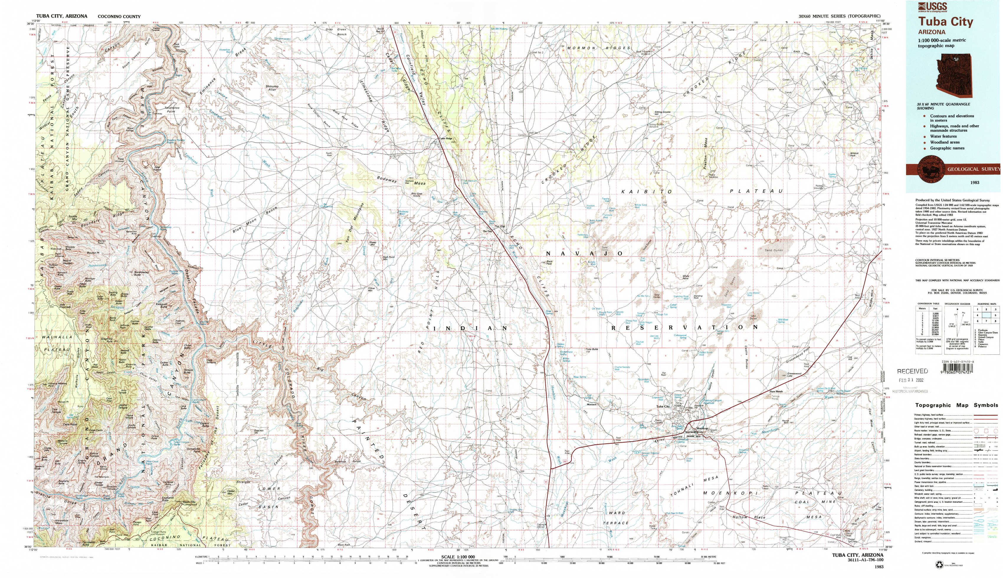
Tuba City Topo Map Arizona
To zoom in, hover over the map of Tuba City
USGS Topo Map 36111a1 - 1:100,000 scale
| Topo Map Name: | Tuba City |
| USGS Topo Quad ID: | 36111a1 |
| Print Size: | ca. 39" wide x 24" high |
| Southeast Coordinates: | 36° N latitude / 111° W longitude |
| Map Center Coordinates: | 36.25° N latitude / 111.5° W longitude |
| U.S. State: | AZ |
| Filename: | 36111a1.jpg |
| Download Map JPG Image: | Tuba City topo map 1:100,000 scale |
| Map Type: | Topographic |
| Topo Series: | 30´x60´ |
| Map Scale: | 1:100,000 |
| Source of Map Images: | United States Geological Survey (USGS) |
| Alternate Map Versions: |
Tuba City AZ 1983, updated 1983 Download PDF Buy paper map Tuba City AZ 1983, updated 1983 Download PDF Buy paper map |
1:100,000 Topos surrounding Tuba City
Fredonia |
Glen Canyon Dam |
Kayenta |
Grand Canyon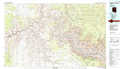 |
Tuba City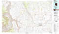 |
Pinon |
Valle |
Cameron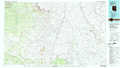 |
Polacca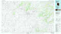 |
> Back to 36110a1 at 1:250,000 scale
> Back to U.S. Topo Maps home
1:24,000 Topo Quads covered by the spatial extent of this 100k map (Tuba City)
|
Buffalo Ranch 
|
Tatahatso Point 
|
Shinumo Altar 
|
Cedar Ridge 
|
Toh Bih Nosteny 
|
Sitting Coyote Hill 
|
Preston Mesa North 
|
Big Whisker Well 
|
|
Point Imperial 
|
Nankoweap Mesa 
|
Blue Moon Reservoir 
|
Bodaway Mesa 
|
The Gap 
|
Preston Well 
|
Preston Mesa South 
|
Gopher Spring 
|
|
Walhalla Plateau 
|
Cape Solitude 
|
Salt Trail Canyon 
|
Pillow Mountain 
|
Willow Springs 
|
Moenave 
|
Tuba City 
|
Middle Mesa 
|
|
Cape Royal 
|
Desert View 
|
Blue Spring 
|
Blue Spring Se 
|
Shadow Mountain Well 
|
Moenave Se 
|
Moenkopi 
|
Tuba City Se 
|