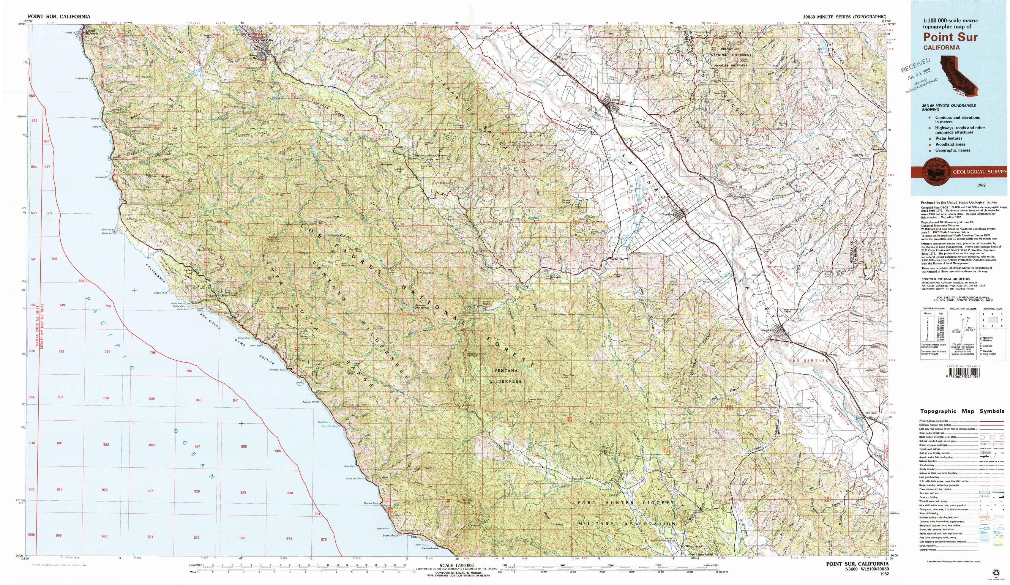
Point Sur Topo Map California
To zoom in, hover over the map of Point Sur
USGS Topo Map 36121a1 - 1:100,000 scale
| Topo Map Name: | Point Sur |
| USGS Topo Quad ID: | 36121a1 |
| Print Size: | ca. 39" wide x 24" high |
| Southeast Coordinates: | 36° N latitude / 121° W longitude |
| Map Center Coordinates: | 36.25° N latitude / 121.5° W longitude |
| U.S. State: | CA |
| Filename: | 36121a1.jpg |
| Download Map JPG Image: | Point Sur topo map 1:100,000 scale |
| Map Type: | Topographic |
| Topo Series: | 30´x60´ |
| Map Scale: | 1:100,000 |
| Source of Map Images: | United States Geological Survey (USGS) |
| Alternate Map Versions: |
Point Sur CA 1982, updated 1980 Download PDF Buy paper map Point Sur CA 1982, updated 1982 Download PDF Buy paper map Point Sur CA 1982, updated 1982 Download PDF Buy paper map |
1:100,000 Topos surrounding Point Sur
Santa Cruz |
Monterey |
Mendota |
Point Sur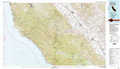 |
Coalinga |
|
Cambria |
Paso Robles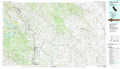 |
> Back to 36120a1 at 1:250,000 scale
> Back to U.S. Topo Maps home
1:24,000 Topo Quads covered by the spatial extent of this 100k map (Point Sur)
|
Soberanes Point 
|
Mount Carmel 
|
Carmel Valley 
|
Rana Creek 
|
Palo Escrito Peak 
|
Soledad 
|
North Chalone Peak 
|
Topo Valley 
|
|
Point Sur 
|
Big Sur 
|
Ventana Cones 
|
Chews Ridge 
|
Sycamore Flat 
|
Paraiso Springs 
|
Greenfield 
|
Pinalito Canyon 
|
|
Pfeiffer Point 
|
Partington Ridge 
|
Tassajara Hot Springs 
|
Junipero Serra Peak 
|
Reliz Canyon 
|
Thompson Canyon 
|
San Lucas 
|
|
|
Lopez Point 
|
Cone Peak 
|
Bear Canyon 
|
Cosio Knob 
|
Espinosa Canyon 
|