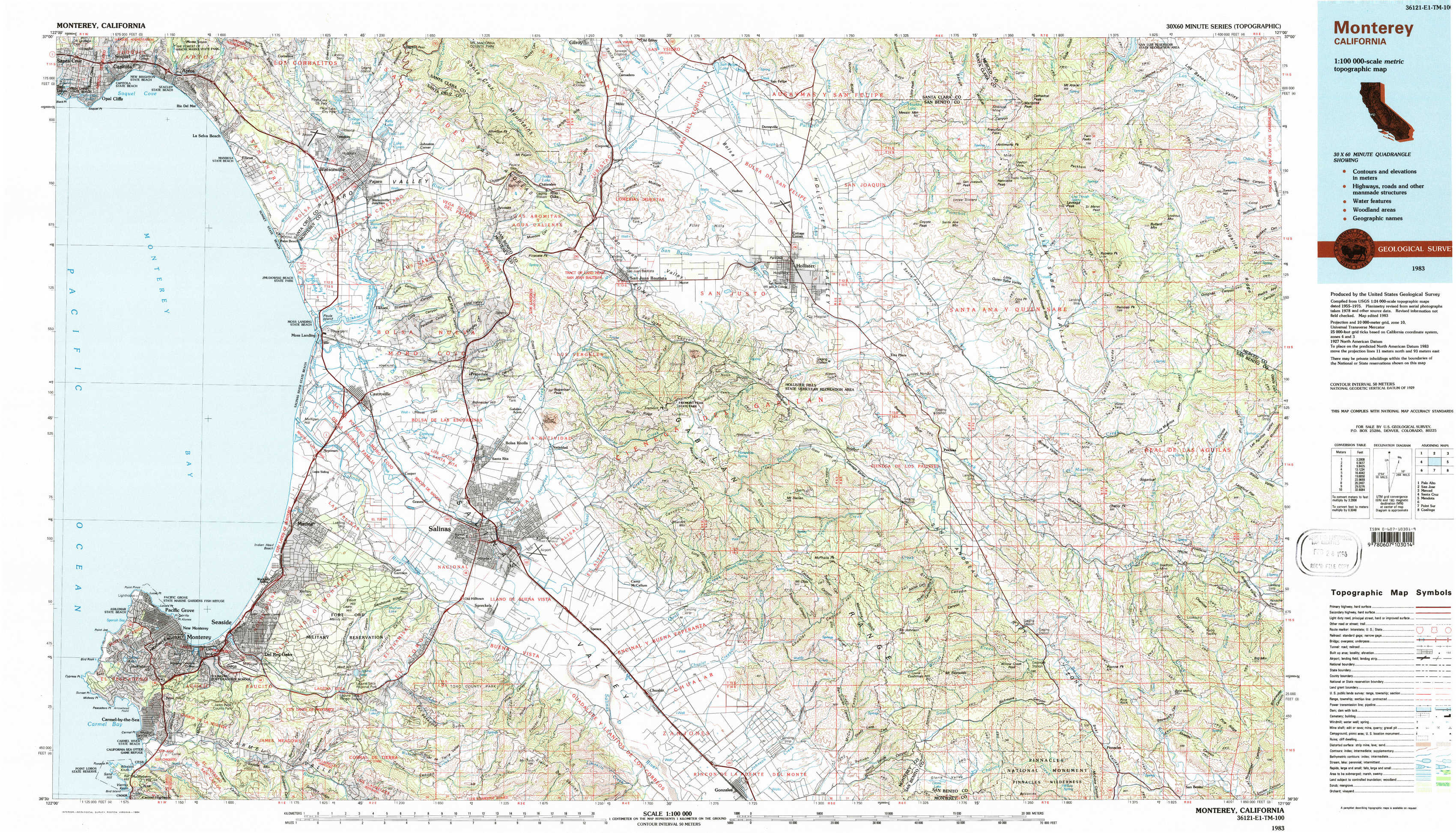
Monterey Topo Map California
To zoom in, hover over the map of Monterey
USGS Topo Map 36121e1 - 1:100,000 scale
| Topo Map Name: | Monterey |
| USGS Topo Quad ID: | 36121e1 |
| Print Size: | ca. 39" wide x 24" high |
| Southeast Coordinates: | 36.5° N latitude / 121° W longitude |
| Map Center Coordinates: | 36.75° N latitude / 121.5° W longitude |
| U.S. State: | CA |
| Filename: | 36121e1.jpg |
| Download Map JPG Image: | Monterey topo map 1:100,000 scale |
| Map Type: | Topographic |
| Topo Series: | 30´x60´ |
| Map Scale: | 1:100,000 |
| Source of Map Images: | United States Geological Survey (USGS) |
| Alternate Map Versions: |
Monterey CA 1983, updated 1984 Download PDF Buy paper map |
1:100,000 Topos surrounding Monterey
Palo Alto |
San Jose |
Merced |
Santa Cruz |
Monterey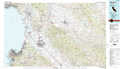 |
Mendota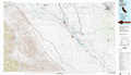 |
Point Sur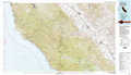 |
Coalinga |
> Back to 36120a1 at 1:250,000 scale
> Back to U.S. Topo Maps home
1:24,000 Topo Quads covered by the spatial extent of this 100k map (Monterey)
|
Soquel 
|
Watsonville West 
|
Watsonville East 
|
Chittenden 
|
San Felipe 
|
Three Sisters 
|
Mariposa Peak 
|
Los Banos Valley 
|
|
Moss Landing 
|
Prunedale 
|
San Juan Bautista 
|
Hollister 
|
Tres Pinos 
|
Quien Sabe Valley 
|
Ruby Canyon 
|
|
|
Marina 
|
Salinas 
|
Natividad 
|
Mount Harlan 
|
Paicines 
|
Cherry Peak 
|
Panoche Pass 
|
|
|
Monterey 
|
Seaside 
|
Spreckels 
|
Chualar 
|
Gonzales 
|
Mount Johnson 
|
Bickmore Canyon 
|
San Benito 
|