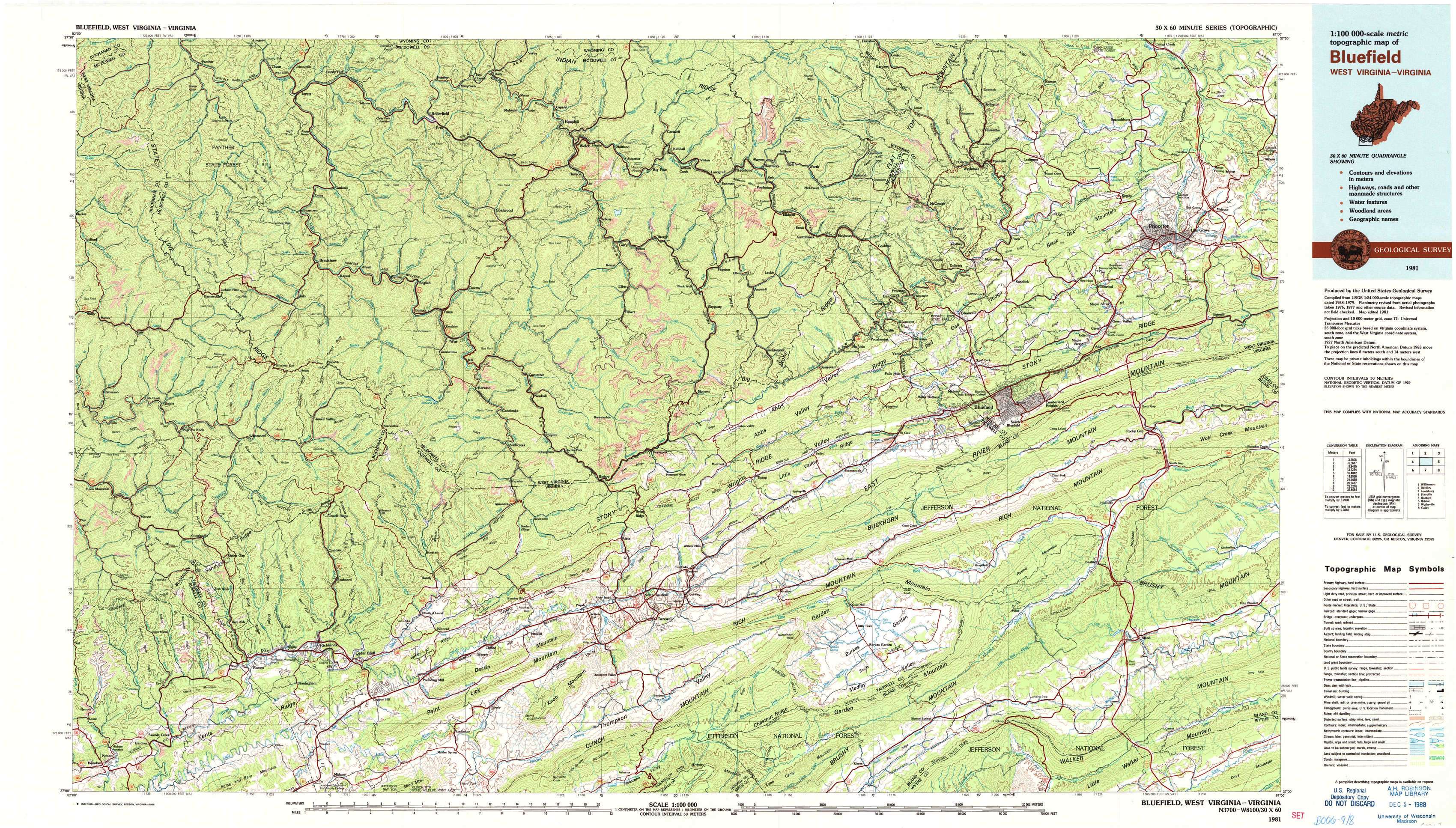
Bluefield Topo Map West Virginia
To zoom in, hover over the map of Bluefield
USGS Topo Map 37081a1 - 1:100,000 scale
| Topo Map Name: | Bluefield |
| USGS Topo Quad ID: | 37081a1 |
| Print Size: | ca. 39" wide x 24" high |
| Southeast Coordinates: | 37° N latitude / 81° W longitude |
| Map Center Coordinates: | 37.25° N latitude / 81.5° W longitude |
| U.S. States: | WV, VA |
| Filename: | 37081a1.jpg |
| Download Map JPG Image: | Bluefield topo map 1:100,000 scale |
| Map Type: | Topographic |
| Topo Series: | 30´x60´ |
| Map Scale: | 1:100,000 |
| Source of Map Images: | United States Geological Survey (USGS) |
| Alternate Map Versions: |
Bluefield WV 1981, updated 1981 Download PDF Buy paper map Bluefield WV 1981, updated 1988 Download PDF Buy paper map |
1:100,000 Topos surrounding Bluefield
Williamson |
Beckley |
Lewisburg |
Pikeville |
Bluefield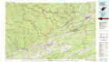 |
Radford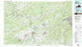 |
Bristol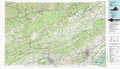 |
Wytheville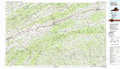 |
Galax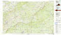 |
> Back to 37080a1 at 1:250,000 scale
> Back to U.S. Topo Maps home
1:24,000 Topo Quads covered by the spatial extent of this 100k map (Bluefield)
|
Panther 
|
Iaeger 
|
Davy 
|
Welch 
|
Keystone 
|
Crumpler 
|
Matoaka 
|
Athens 
|
|
Patterson 
|
Bradshaw 
|
War 
|
Gary 
|
Anawalt 
|
Bramwell 
|
Bluefield 
|
Princeton 
|
|
Keen Mountain 
|
Jewell Ridge 
|
Amonate 
|
Tazewell North 
|
Tiptop 
|
Cove Creek 
|
Bastian 
|
Rocky Gap 
|
|
Honaker 
|
Richlands 
|
Pounding Mill 
|
Tazewell South 
|
Hutchinson Rock 
|
Garden Mountain 
|
Big Bend 
|
Bland 
|