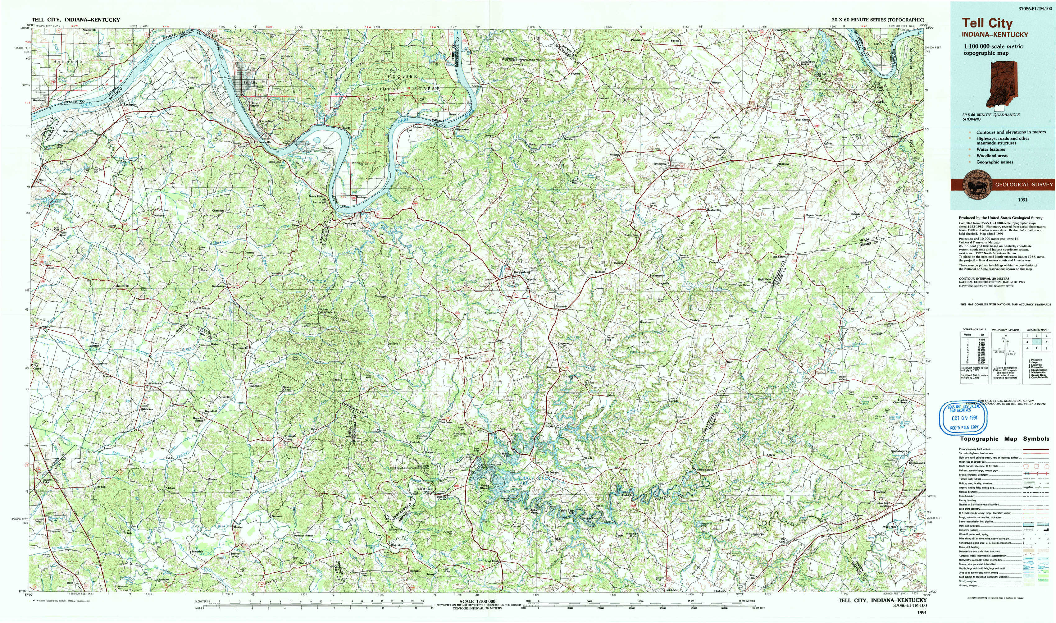
Tell City Topo Map Indiana
To zoom in, hover over the map of Tell City
USGS Topo Map 37086e1 - 1:100,000 scale
| Topo Map Name: | Tell City |
| USGS Topo Quad ID: | 37086e1 |
| Print Size: | ca. 39" wide x 24" high |
| Southeast Coordinates: | 37.5° N latitude / 86° W longitude |
| Map Center Coordinates: | 37.75° N latitude / 86.5° W longitude |
| U.S. States: | IN, KY |
| Filename: | 37086e1.jpg |
| Download Map JPG Image: | Tell City topo map 1:100,000 scale |
| Map Type: | Topographic |
| Topo Series: | 30´x60´ |
| Map Scale: | 1:100,000 |
| Source of Map Images: | United States Geological Survey (USGS) |
| Alternate Map Versions: |
Tell City IN 1986, updated 1986 Download PDF Buy paper map Tell City IN 1991, updated 1991 Download PDF Buy paper map |
1:100,000 Topos surrounding Tell City
Princeton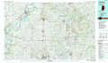 |
Jasper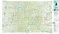 |
Louisville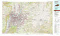 |
Evansville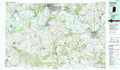 |
Tell City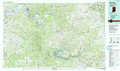 |
Elizabethtown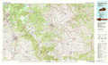 |
Madisonville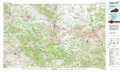 |
Beaver Dam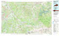 |
Campbellsville |
> Back to 37086a1 at 1:250,000 scale
> Back to U.S. Topo Maps home
1:24,000 Topo Quads covered by the spatial extent of this 100k map (Tell City)
|
Lewisport 
|
Tell City 
|
Cannelton 
|
Rome 
|
Lodiburg 
|
Irvington 
|
Guston 
|
Rock Haven 
|
|
Maceo 
|
Pellville 
|
Cloverport 
|
Mattingly 
|
Hardinsburg 
|
Garfield 
|
Big Spring 
|
Flaherty 
|
|
Philpot 
|
Whitesville 
|
Fordsville 
|
Glen Dean 
|
Kingswood 
|
Custer 
|
Constantine 
|
Howe Valley 
|
|
Pleasant Ridge 
|
Dundee 
|
Olaton 
|
Falls Of Rough 
|
Mcdaniels 
|
Madrid 
|
Big Clifty 
|
Summit 
|