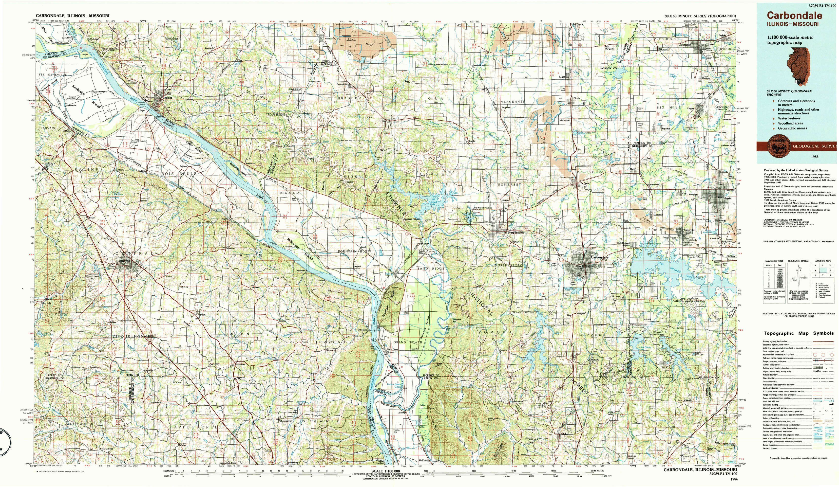
Carbondale Topo Map Illinois
To zoom in, hover over the map of Carbondale
USGS Topo Map 37089e1 - 1:100,000 scale
| Topo Map Name: | Carbondale |
| USGS Topo Quad ID: | 37089e1 |
| Print Size: | ca. 39" wide x 24" high |
| Southeast Coordinates: | 37.5° N latitude / 89° W longitude |
| Map Center Coordinates: | 37.75° N latitude / 89.5° W longitude |
| U.S. States: | IL, MO |
| Filename: | 37089e1.jpg |
| Download Map JPG Image: | Carbondale topo map 1:100,000 scale |
| Map Type: | Topographic |
| Topo Series: | 30´x60´ |
| Map Scale: | 1:100,000 |
| Source of Map Images: | United States Geological Survey (USGS) |
| Alternate Map Versions: |
Carbondale IL 1984, updated 1985 Download PDF Buy paper map Carbondale IL 1986, updated 1986 Download PDF Buy paper map |
1:100,000 Topos surrounding Carbondale
Festus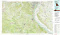 |
Pinckneyville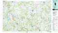 |
Mount Vernon |
Farmington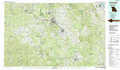 |
Carbondale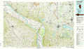 |
West Frankfort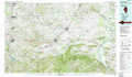 |
Piedmont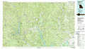 |
Cape Girardeau |
Paducah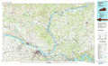 |
> Back to 37088a1 at 1:250,000 scale
> Back to U.S. Topo Maps home
1:24,000 Topo Quads covered by the spatial extent of this 100k map (Carbondale)
|
Kaskaskia 
|
Chester 
|
Welge 
|
Willisville 
|
Ava 
|
Vergennes 
|
Elkville 
|
Christopher 
|
|
Lithium 
|
Belgique 
|
Rockwood 
|
Raddle 
|
Oraville 
|
Murphysboro 
|
Desoto 
|
Herrin 
|
|
Perryville West 
|
Perryville East 
|
Crosstown 
|
Altenburg 
|
Gorham 
|
Pomona 
|
Carbondale 
|
Crab Orchard Lake 
|
|
Sedgewickville 
|
Friedheim 
|
Oak Ridge 
|
Neelys Landing 
|
Wolf Lake 
|
Cobden 
|
Makanda 
|
Lick Creek 
|