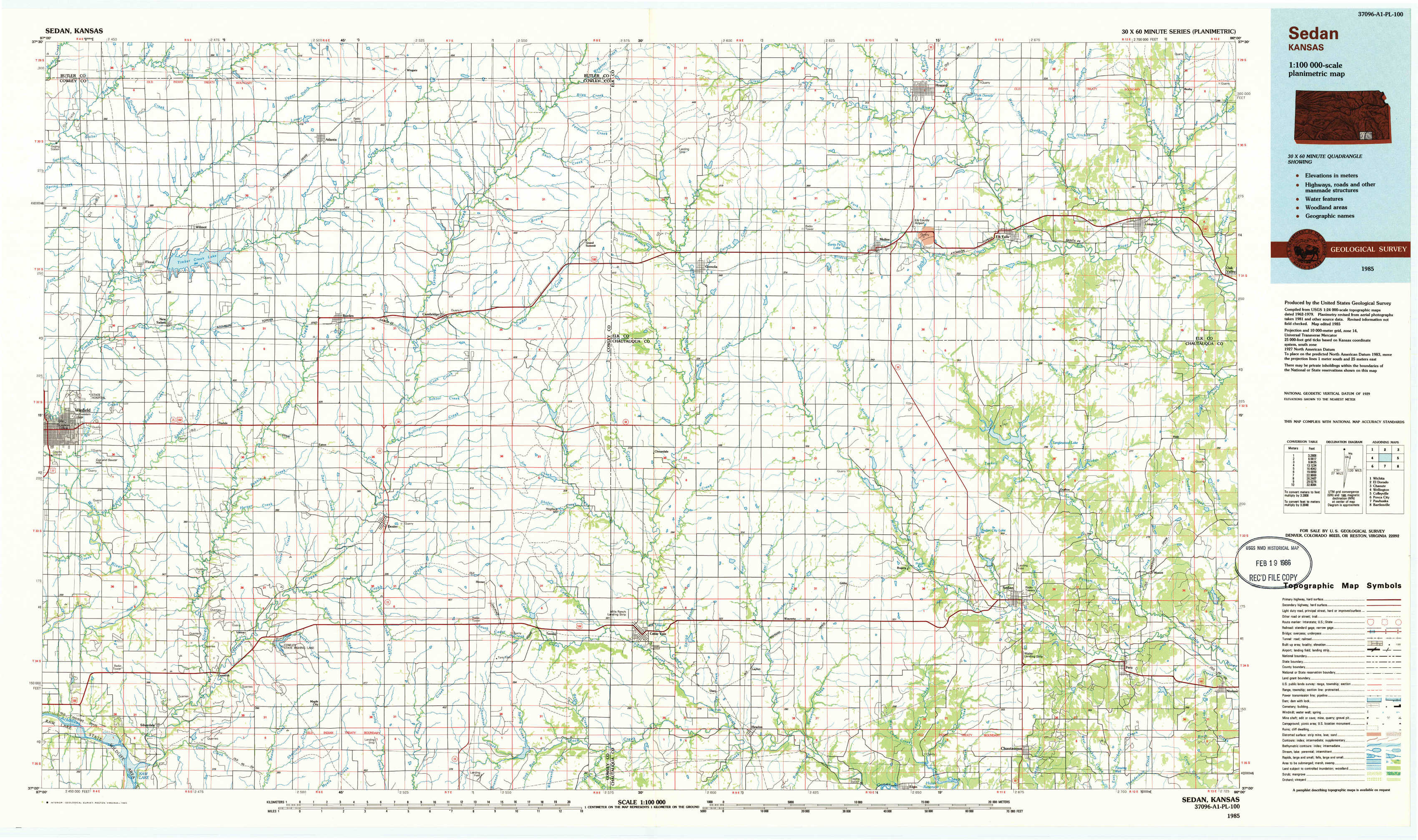
Sedan Topo Map Kansas
To zoom in, hover over the map of Sedan
USGS Topo Map 37096a1 - 1:100,000 scale
| Topo Map Name: | Sedan |
| USGS Topo Quad ID: | 37096a1 |
| Print Size: | ca. 39" wide x 24" high |
| Southeast Coordinates: | 37° N latitude / 96° W longitude |
| Map Center Coordinates: | 37.25° N latitude / 96.5° W longitude |
| U.S. State: | KS |
| Filename: | 37096a1.jpg |
| Download Map JPG Image: | Sedan topo map 1:100,000 scale |
| Map Type: | Topographic |
| Topo Series: | 30´x60´ |
| Map Scale: | 1:100,000 |
| Source of Map Images: | United States Geological Survey (USGS) |
| Alternate Map Versions: |
Sedan KS 1985, updated 1985 Download PDF Buy paper map Sedan KS 1985, updated 1990 Download PDF Buy paper map |
1:100,000 Topos surrounding Sedan
Wichita |
El Dorado |
Chanute |
Wellington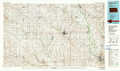 |
Sedan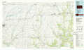 |
Coffeyville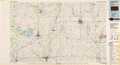 |
Ponca City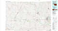 |
Pawhuska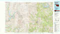 |
Bartlesville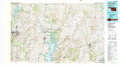 |
> Back to 37096a1 at 1:250,000 scale
> Back to U.S. Topo Maps home
1:24,000 Topo Quads covered by the spatial extent of this 100k map (Sedan)
|
Wilmot 
|
Atlanta 
|
Cambridge Nw 
|
Cambridge Ne 
|
Howard Nw 
|
Howard 
|
Longton Nw 
|
Longton 
|
|
New Salem 
|
Burden 
|
Cambridge 
|
Grand Summit 
|
Grenola 
|
Moline 
|
Elk Falls 
|
Oak Valley 
|
|
Winfield 
|
Eaton 
|
Dexter 
|
Dexter Ne 
|
Cloverdale 
|
Elgin Ne 
|
Sedan 
|
Hale 
|
|
Silverdale 
|
Maple City 
|
Dexter Sw 
|
Cedar Vale West 
|
Cedar Vale East 
|
Elgin 
|
Chautauqua 
|
Peru 
|