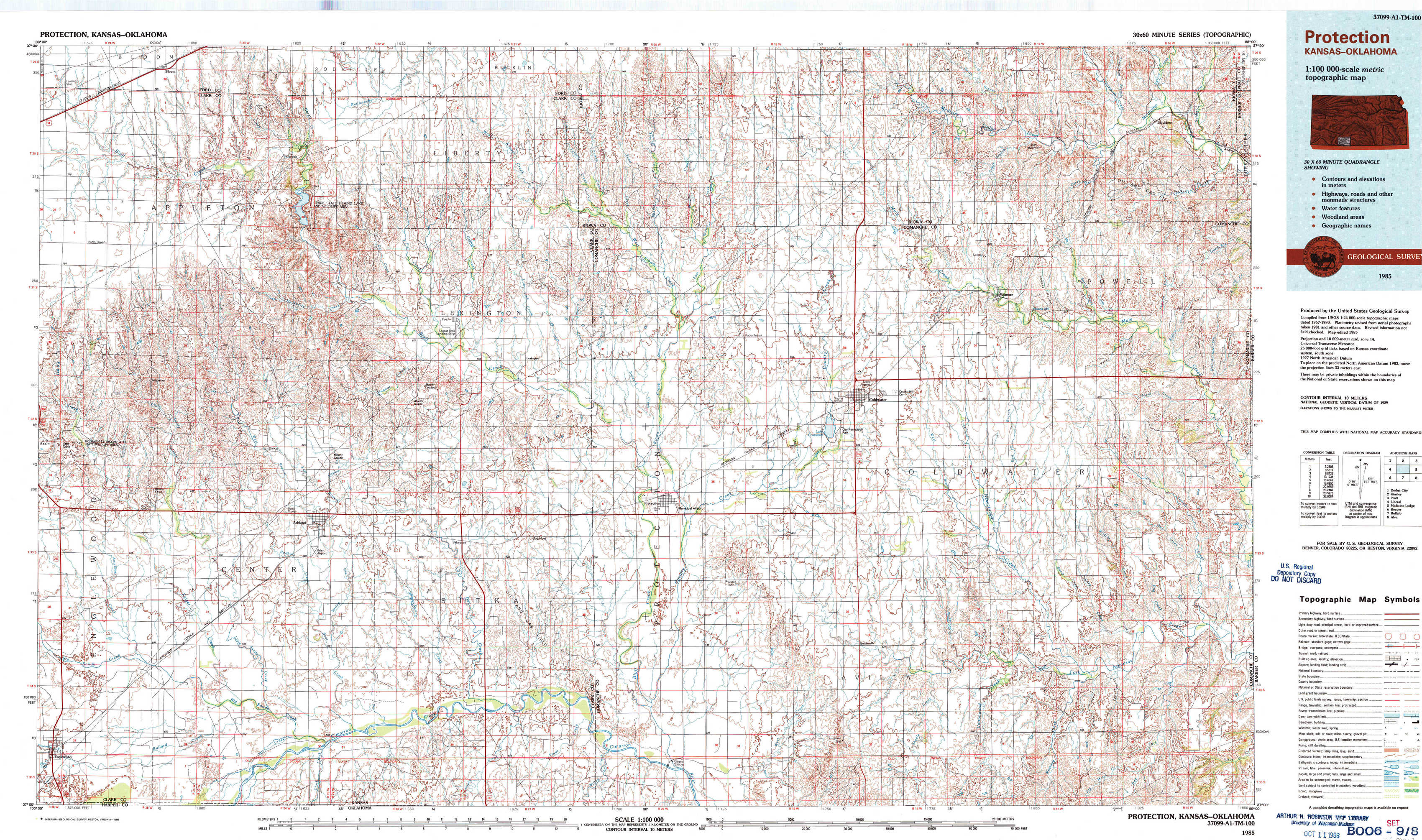
Protection Topo Map Kansas
To zoom in, hover over the map of Protection
USGS Topo Map 37099a1 - 1:100,000 scale
| Topo Map Name: | Protection |
| USGS Topo Quad ID: | 37099a1 |
| Print Size: | ca. 39" wide x 24" high |
| Southeast Coordinates: | 37° N latitude / 99° W longitude |
| Map Center Coordinates: | 37.25° N latitude / 99.5° W longitude |
| U.S. State: | KS |
| Filename: | 37099a1.jpg |
| Download Map JPG Image: | Protection topo map 1:100,000 scale |
| Map Type: | Topographic |
| Topo Series: | 30´x60´ |
| Map Scale: | 1:100,000 |
| Source of Map Images: | United States Geological Survey (USGS) |
| Alternate Map Versions: |
Protection KS 1985, updated 1985 Download PDF Buy paper map Protection KS 1985, updated 1988 Download PDF Buy paper map |
1:100,000 Topos surrounding Protection
Dodge City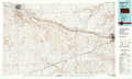 |
Kinsley |
Pratt |
Liberal |
Protection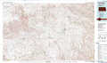 |
Medicine Lodge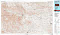 |
Beaver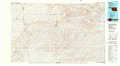 |
Buffalo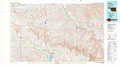 |
Alva |
> Back to 37098a1 at 1:250,000 scale
> Back to U.S. Topo Maps home
1:24,000 Topo Quads covered by the spatial extent of this 100k map (Protection)
|
Bloom 
|
Simmons Creek 
|
Mount Jesus Nw 
|
Turkey Creek 
|
East Kiowa Creek North 
|
Coldwater Ne 
|
Iron Mountain 
|
Belvidere 
|
|
Bloom Sw 
|
Bloom Se 
|
Mount Jesus 
|
Lexington 
|
East Kiowa Creek South 
|
Coldwater 
|
Wilmore 
|
Wilmore Se 
|
|
Ashland Nw 
|
Ashland 
|
Sitka 
|
Sugarloaf 
|
Protection 
|
Protection Ne 
|
Nescatunga Creek North 
|
Indian Creek 
|
|
Englewood 
|
Ashland Se 
|
Sitka Sw 
|
Trout Creek 
|
Protection Sw 
|
Buttermilk 
|
Nescatunga Creek South 
|
Fancy Canyon 
|