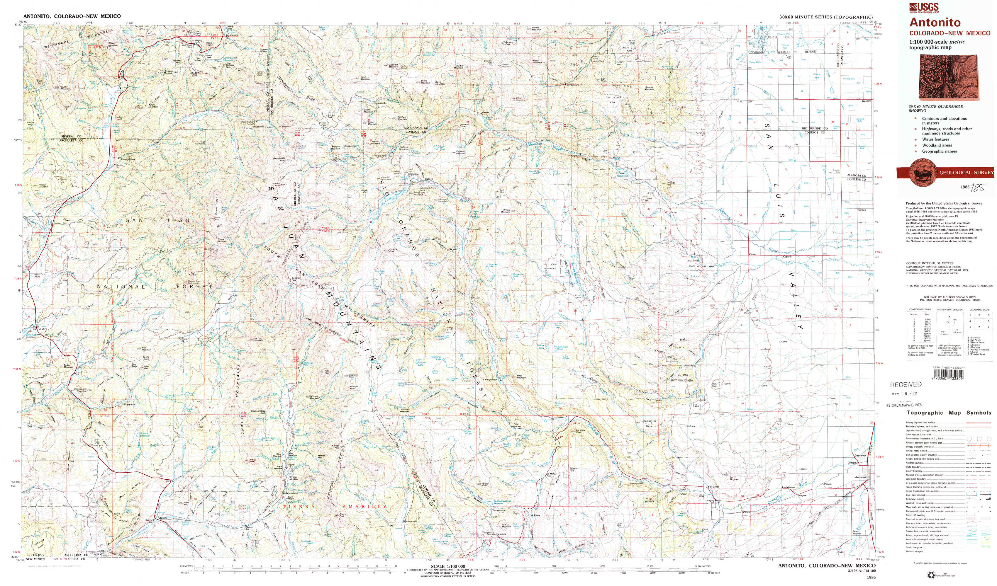
Antonito Topo Map Colorado
To zoom in, hover over the map of Antonito
USGS Topo Map 37106a1 - 1:100,000 scale
| Topo Map Name: | Antonito |
| USGS Topo Quad ID: | 37106a1 |
| Print Size: | ca. 39" wide x 24" high |
| Southeast Coordinates: | 37° N latitude / 106° W longitude |
| Map Center Coordinates: | 37.25° N latitude / 106.5° W longitude |
| U.S. State: | CO |
| Filename: | 37106a1.jpg |
| Download Map JPG Image: | Antonito topo map 1:100,000 scale |
| Map Type: | Topographic |
| Topo Series: | 30´x60´ |
| Map Scale: | 1:100,000 |
| Source of Map Images: | United States Geological Survey (USGS) |
| Alternate Map Versions: |
Antonito CO 1985, updated 1985 Download PDF Buy paper map |
1:100,000 Topos surrounding Antonito
Silverton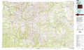 |
Del Norte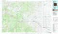 |
Blanca Peak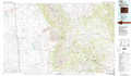 |
Durango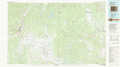 |
Antonito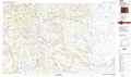 |
Alamosa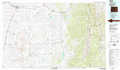 |
Navajo Reservoir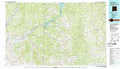 |
Chama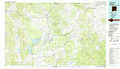 |
Wheeler Peak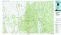 |
> Back to 37106a1 at 1:250,000 scale
> Back to U.S. Topo Maps home
1:24,000 Topo Quads covered by the spatial extent of this 100k map (Antonito)
|
Saddle Mountain 
|
Wolf Creek Pass 
|
Elwood Pass 
|
Summitville 
|
Jasper 
|
Greenie Mountain 
|
Fulcher Gulch 
|
Waverly 
|
|
Jackson Mountain 
|
Blackhead Peak 
|
Summit Peak 
|
Platoro 
|
Red Mountain 
|
Terrace Reservoir 
|
Centro 
|
Capulin 
|
|
Serviceberry Mountain 
|
Harris Lake 
|
Elephant Head Rock 
|
Victoria Lake 
|
Spectacle Lake 
|
La Jara Canyon 
|
Vicente Canyon 
|
Goshawk Dam 
|
|
Edith 
|
Chromo 
|
Chama Peak 
|
Archuleta Creek 
|
Cumbres 
|
Osier 
|
Fox Creek 
|
Antonito 
|