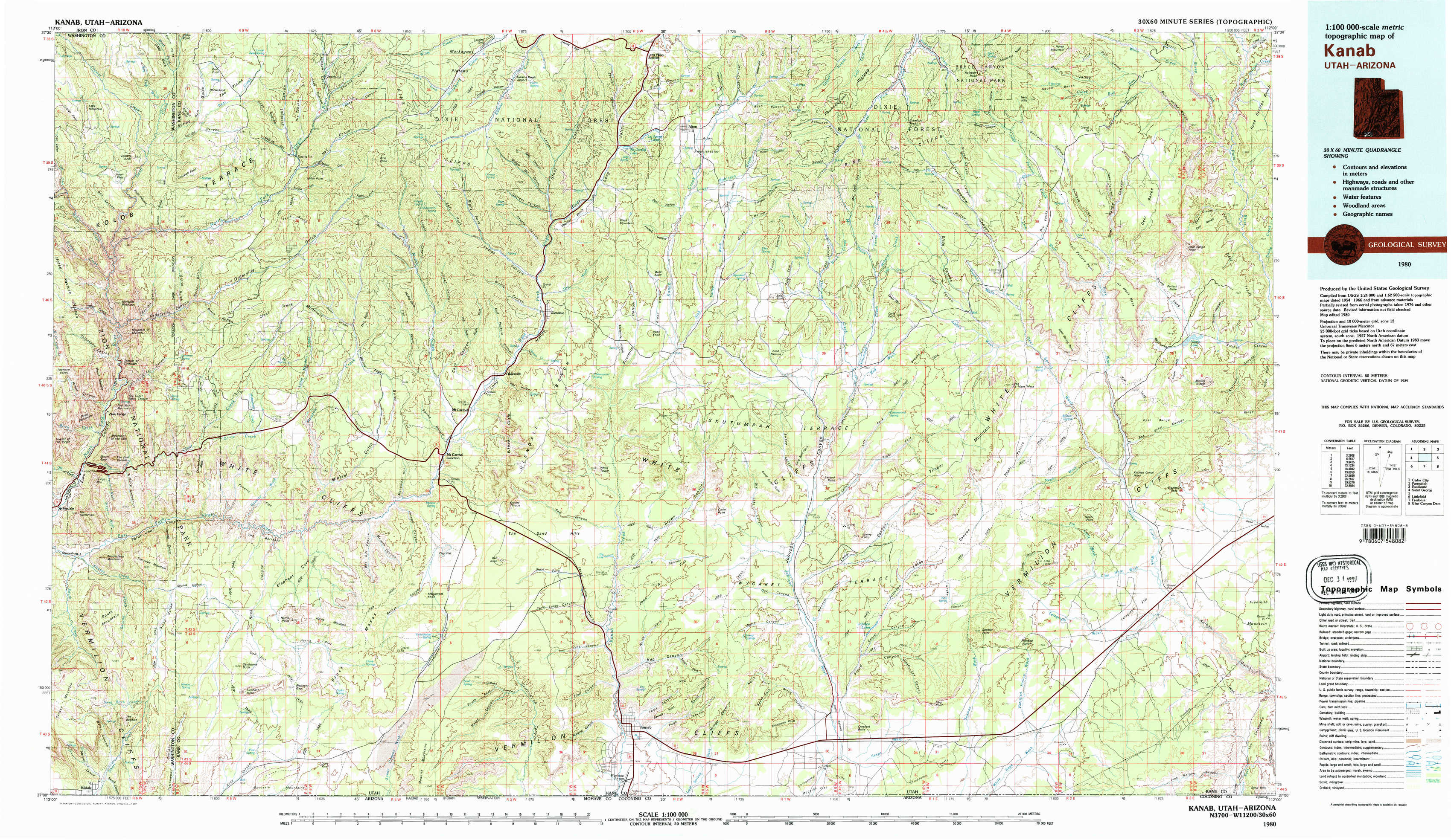
Kanab Topo Map Utah
To zoom in, hover over the map of Kanab
USGS Topo Map 37112a1 - 1:100,000 scale
| Topo Map Name: | Kanab |
| USGS Topo Quad ID: | 37112a1 |
| Print Size: | ca. 39" wide x 24" high |
| Southeast Coordinates: | 37° N latitude / 112° W longitude |
| Map Center Coordinates: | 37.25° N latitude / 112.5° W longitude |
| U.S. States: | UT, AZ |
| Filename: | 37112a1.jpg |
| Download Map JPG Image: | Kanab topo map 1:100,000 scale |
| Map Type: | Topographic |
| Topo Series: | 30´x60´ |
| Map Scale: | 1:100,000 |
| Source of Map Images: | United States Geological Survey (USGS) |
| Alternate Map Versions: |
Kanab UT 1980, updated 1981 Download PDF Buy paper map |
1:100,000 Topos surrounding Kanab
Cedar City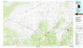 |
Panguitch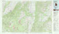 |
Escalante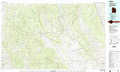 |
Saint George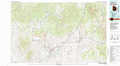 |
Kanab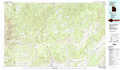 |
Smoky Mountain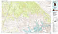 |
Littlefield |
Fredonia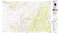 |
Glen Canyon Dam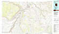 |
> Back to 37112a1 at 1:250,000 scale
> Back to U.S. Topo Maps home
1:24,000 Topo Quads covered by the spatial extent of this 100k map (Kanab)
|
Cogswell Point 
|
Straight Canyon 
|
Strawberry Point 
|
Long Valley Junction 
|
Alton 
|
Podunk Creek 
|
Rainbow Point 
|
Bull Valley Gorge 
|
|
Temple Of Sinawava 
|
Clear Creek Mountain 
|
Orderville 
|
Glendale 
|
Bald Knoll 
|
Skutumpah Creek 
|
Deer Spring Point 
|
Deer Range Point 
|
|
Springdale East 
|
The Barracks 
|
Mount Carmel 
|
White Tower 
|
Cutler Point 
|
Pine Point 
|
Nephi Point 
|
Eightmile Pass 
|
|
Hildale 
|
Elephant Butte 
|
Yellowjacket Canyon 
|
Kanab 
|
Thompson Point 
|
Johnson Lakes 
|
Petrified Hollow 
|
Pine Hollow Canyon 
|