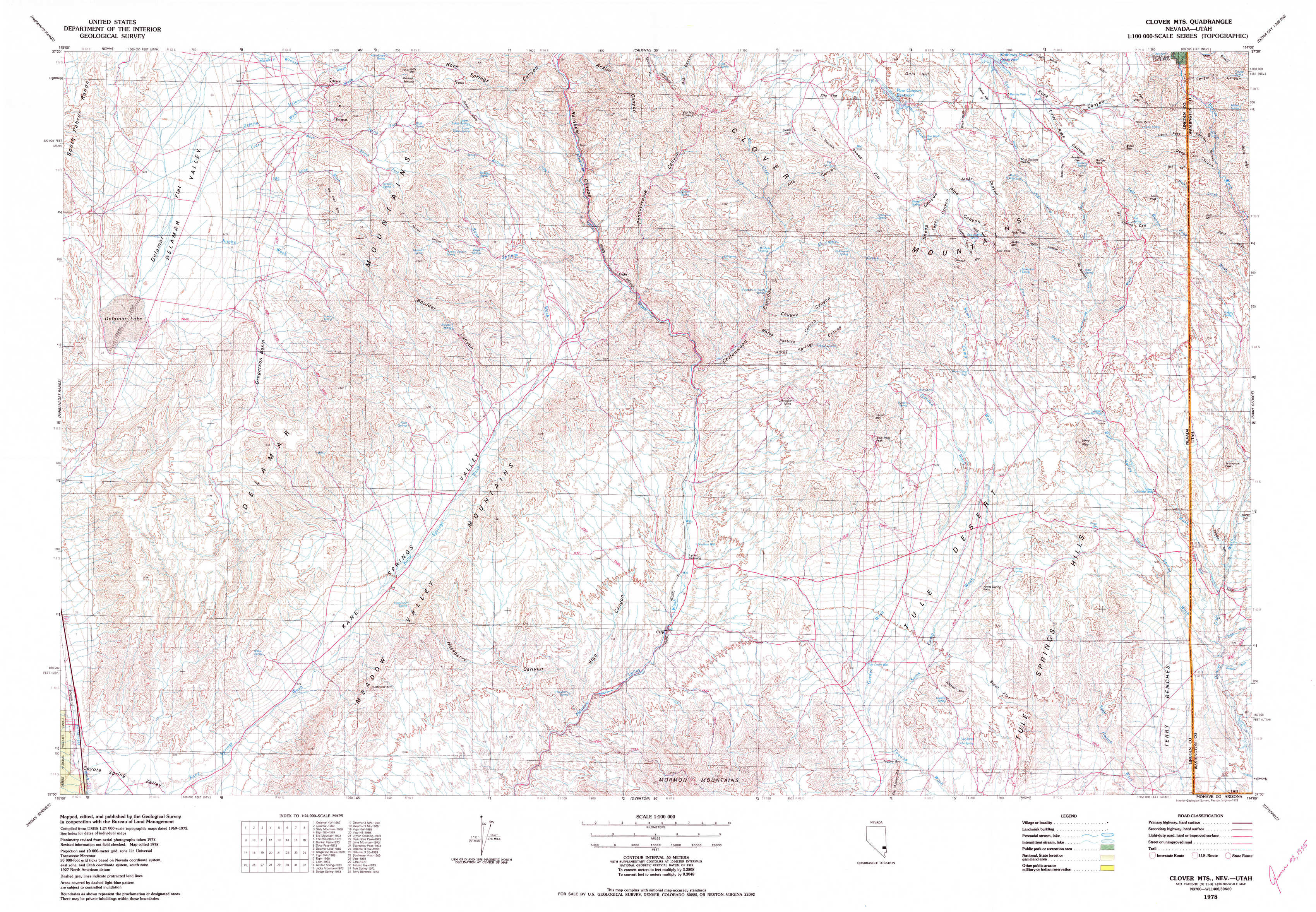
Clover Mountains Topo Map Nevada
To zoom in, hover over the map of Clover Mountains
USGS Topo Map 37114a1 - 1:100,000 scale
| Topo Map Name: | Clover Mountains |
| USGS Topo Quad ID: | 37114a1 |
| Print Size: | ca. 39" wide x 24" high |
| Southeast Coordinates: | 37° N latitude / 114° W longitude |
| Map Center Coordinates: | 37.25° N latitude / 114.5° W longitude |
| U.S. States: | NV, UT |
| Filename: | 37114a1.jpg |
| Download Map JPG Image: | Clover Mountains topo map 1:100,000 scale |
| Map Type: | Topographic |
| Topo Series: | 30´x60´ |
| Map Scale: | 1:100,000 |
| Source of Map Images: | United States Geological Survey (USGS) |
| Alternate Map Versions: |
Clover Mts NV 1978, updated 1978 Download PDF Buy paper map Clover Mts NV 1978, updated 1978 Download PDF Buy paper map |
1:100,000 Topos surrounding Clover Mountains
Timpahute Range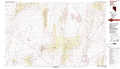 |
Caliente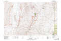 |
Cedar City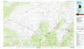 |
Pahranagat Range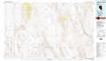 |
Clover Mountains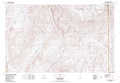 |
Saint George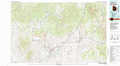 |
Indian Springs |
Overton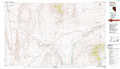 |
Littlefield |
> Back to 37114a1 at 1:250,000 scale
> Back to U.S. Topo Maps home
1:24,000 Topo Quads covered by the spatial extent of this 100k map (Clover Mountains)
|
Delamar Nw 
|
Delamar 
|
Slidy Mountain 
|
Elgin Ne 
|
Ella Mountain 
|
Fife Mountain 
|
Bunker Peak 
|
Docs Pass 
|
|
Delamar Lake 
|
Gregerson Basin 
|
Elgin Sw 
|
Elgin 
|
Leith 
|
Garden Spring 
|
Jacks Mountain 
|
Dodge Spring 
|
|
Delamar 3 Nw 
|
Delamar 3 Ne 
|
Vigo Nw 
|
Vigo Ne 
|
Lyman Crossing 
|
Blue Nose Peak 
|
Lime Mountain 
|
Scarecrow Peak 
|
|
Delamar 3 Sw 
|
Delamar 3 Se 
|
Sunflower Mountain 
|
Vigo 
|
Carp 
|
Toquop Gap 
|
Tule Spring 
|
Terry Benches 
|