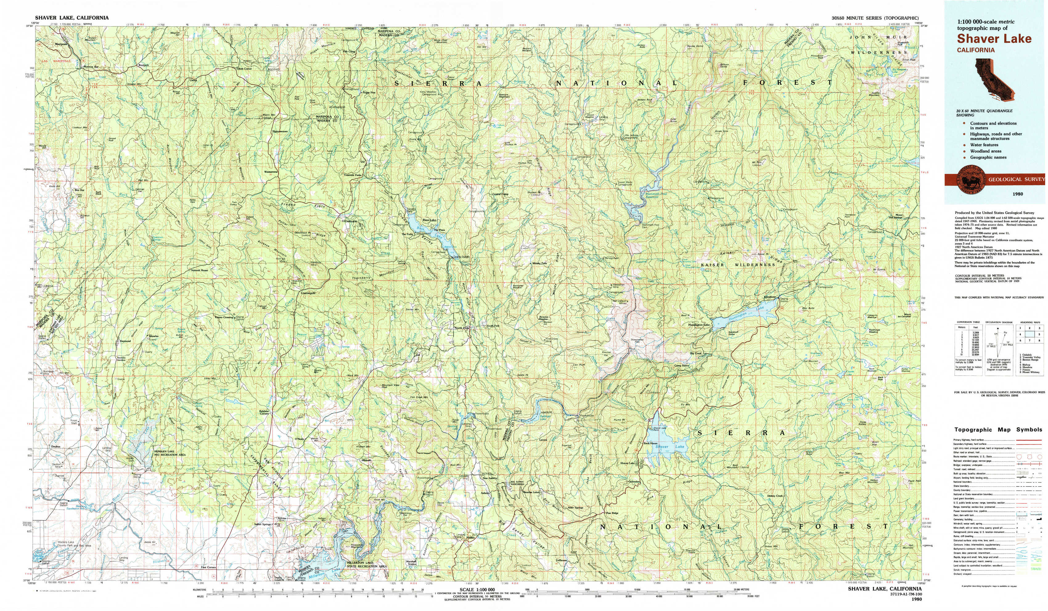
Shaver Lake Topo Map California
To zoom in, hover over the map of Shaver Lake
USGS Topo Map 37119a1 - 1:100,000 scale
| Topo Map Name: | Shaver Lake |
| USGS Topo Quad ID: | 37119a1 |
| Print Size: | ca. 39" wide x 24" high |
| Southeast Coordinates: | 37° N latitude / 119° W longitude |
| Map Center Coordinates: | 37.25° N latitude / 119.5° W longitude |
| U.S. State: | CA |
| Filename: | 37119a1.jpg |
| Download Map JPG Image: | Shaver Lake topo map 1:100,000 scale |
| Map Type: | Topographic |
| Topo Series: | 30´x60´ |
| Map Scale: | 1:100,000 |
| Source of Map Images: | United States Geological Survey (USGS) |
| Alternate Map Versions: |
Shaver Lake CA 1980, updated 1980 Download PDF Buy paper map Shaver Lake CA 1980, updated 1991 Download PDF Buy paper map Shaver Lake CA 1980, updated 1991 Download PDF Buy paper map |
1:100,000 Topos surrounding Shaver Lake
Oakdale |
Yosemite Valley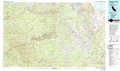 |
Benton Range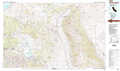 |
Merced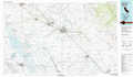 |
Shaver Lake |
Bishop |
Mendota |
Fresno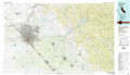 |
Mount Whitney |
> Back to 37118a1 at 1:250,000 scale
> Back to U.S. Topo Maps home
1:24,000 Topo Quads covered by the spatial extent of this 100k map (Shaver Lake)
|
Mariposa 
|
Stumpfield Mountain 
|
Fish Camp 
|
White Chief Mountain 
|
Little Shuteye Peak 
|
Squaw Dome 
|
Balloon Dome 
|
Sharktooth Peak 
|
|
Ben Hur 
|
Horsecamp Mountain 
|
Ahwahnee 
|
Bass Lake 
|
Shuteye Peak 
|
Mammoth Pool Dam 
|
Kaiser Peak 
|
Mount Givens 
|
|
Raymond 
|
Knowles 
|
O'Neals 
|
North Fork 
|
Cascadel Point 
|
Musick Mountain 
|
Huntington Lake 
|
Dogtooth Peak 
|
|
Daulton 
|
Little Table Mountain 
|
Millerton Lake West 
|
Millerton Lake East 
|
Auberry 
|
Shaver Lake 
|
Dinkey Creek 
|
Nelson Mountain 
|