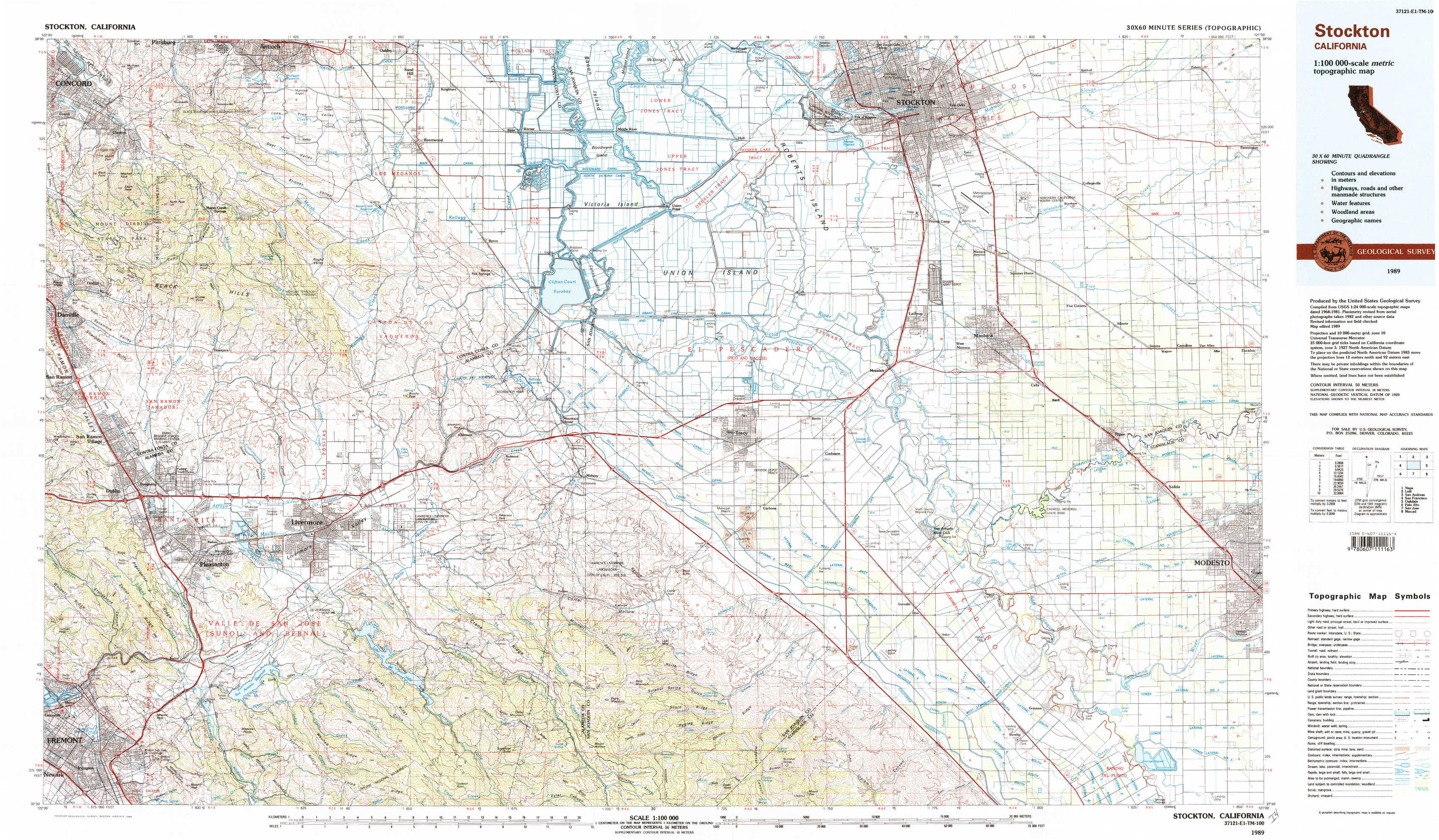
Stockton Topo Map California
To zoom in, hover over the map of Stockton
USGS Topo Map 37121e1 - 1:100,000 scale
| Topo Map Name: | Stockton |
| USGS Topo Quad ID: | 37121e1 |
| Print Size: | ca. 39" wide x 24" high |
| Southeast Coordinates: | 37.5° N latitude / 121° W longitude |
| Map Center Coordinates: | 37.75° N latitude / 121.5° W longitude |
| U.S. State: | CA |
| Filename: | 37121e1.jpg |
| Download Map JPG Image: | Stockton topo map 1:100,000 scale |
| Map Type: | Topographic |
| Topo Series: | 30´x60´ |
| Map Scale: | 1:100,000 |
| Source of Map Images: | United States Geological Survey (USGS) |
| Alternate Map Versions: |
Stockton CA 1989, updated 1989 Download PDF Buy paper map Stockton CA 1989, updated 1989 Download PDF Buy paper map |
1:100,000 Topos surrounding Stockton
Napa |
Lodi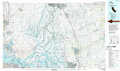 |
San Andreas |
San Francisco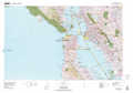 |
Stockton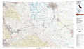 |
Oakdale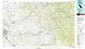 |
Palo Alto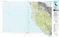 |
San Jose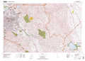 |
Merced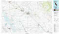 |
> Back to 37120a1 at 1:250,000 scale
> Back to U.S. Topo Maps home
1:24,000 Topo Quads covered by the spatial extent of this 100k map (Stockton)
|
Clayton 
|
Antioch South 
|
Brentwood 
|
Woodward Island 
|
Holt 
|
Stockton West 
|
Stockton East 
|
Peters 
|
|
Diablo 
|
Tassajara 
|
Byron Hot Springs 
|
Clifton Court Forebay 
|
Union Island 
|
Lathrop 
|
Manteca 
|
Avena 
|
|
Dublin 
|
Livermore 
|
Altamont 
|
Midway 
|
Tracy 
|
Vernalis 
|
Ripon 
|
Salida 
|
|
Niles 
|
La Costa Valley 
|
Mendenhall Springs 
|
Cedar Mountain 
|
Lone Tree Creek 
|
Solyo 
|
Westley 
|
Brush Lake 
|