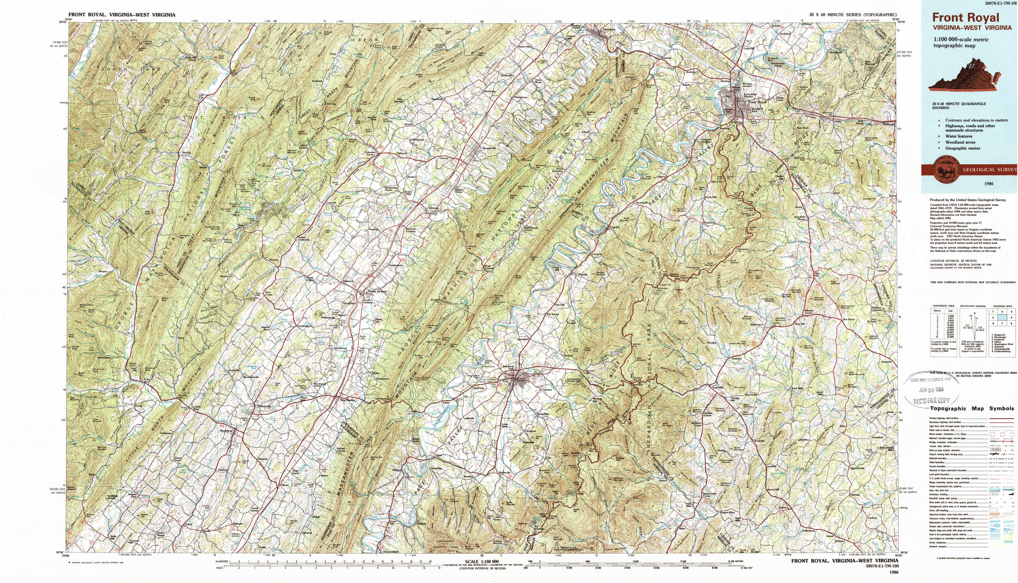
Front Royal Topo Map Virginia
To zoom in, hover over the map of Front Royal
USGS Topo Map 38078e1 - 1:100,000 scale
| Topo Map Name: | Front Royal |
| USGS Topo Quad ID: | 38078e1 |
| Print Size: | ca. 39" wide x 24" high |
| Southeast Coordinates: | 38.5° N latitude / 78° W longitude |
| Map Center Coordinates: | 38.75° N latitude / 78.5° W longitude |
| U.S. States: | VA, WV |
| Filename: | 38078e1.jpg |
| Download Map JPG Image: | Front Royal topo map 1:100,000 scale |
| Map Type: | Topographic |
| Topo Series: | 30´x60´ |
| Map Scale: | 1:100,000 |
| Source of Map Images: | United States Geological Survey (USGS) |
| Alternate Map Versions: |
Front Royal VA 1986, updated 1986 Download PDF Buy paper map Front Royal VA 1986, updated 1989 Download PDF Buy paper map Front Royal VA 1986, updated 1989 Download PDF Buy paper map |
1:100,000 Topos surrounding Front Royal
Kingwood |
Winchester |
Frederick |
Elkins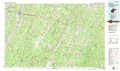 |
Front Royal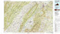 |
Washington West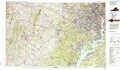 |
Staunton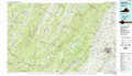 |
Charlottesville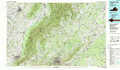 |
Fredericksburg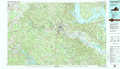 |
> Back to 38078a1 at 1:250,000 scale
> Back to U.S. Topo Maps home
1:24,000 Topo Quads covered by the spatial extent of this 100k map (Front Royal)
|
Lost River State Park 
|
Lost City 
|
Wolf Gap 
|
Woodstock 
|
Toms Brook 
|
Strasburg 
|
Front Royal 
|
Linden 
|
|
Bergton 
|
Orkney Springs 
|
Conicville 
|
Edinburg 
|
Rileyville 
|
Bentonville 
|
Chester Gap 
|
Flint Hill 
|
|
Fulks Run 
|
Timberville 
|
New Market 
|
Hamburg 
|
Luray 
|
Thornton Gap 
|
Washington 
|
Massies Corner 
|
|
Singers Glen 
|
Broadway 
|
Tenth Legion 
|
Stanley 
|
Big Meadows 
|
Old Rag Mountain 
|
Woodville 
|
Castleton 
|