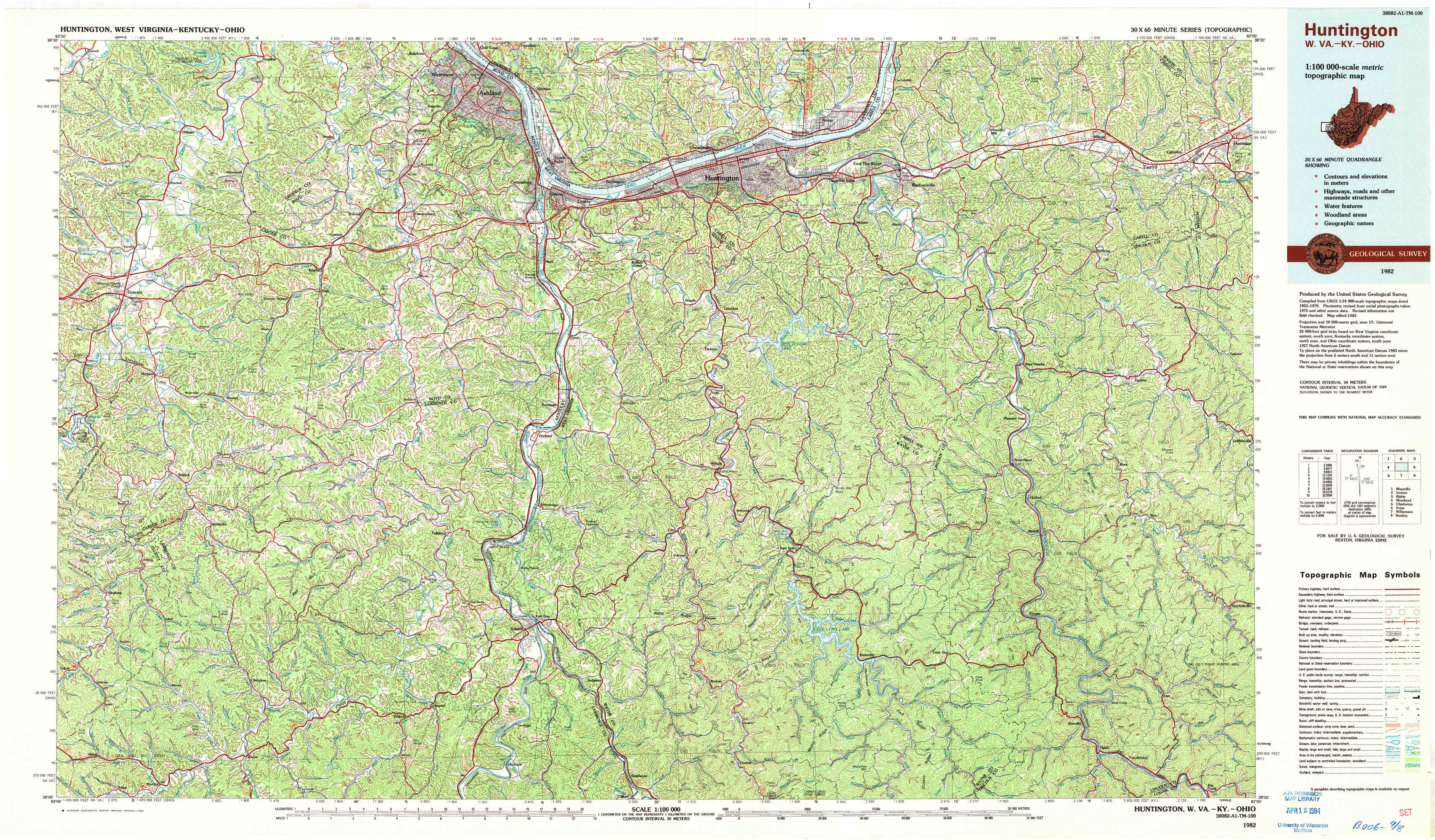
Huntington Topo Map West Virginia
To zoom in, hover over the map of Huntington
USGS Topo Map 38082a1 - 1:100,000 scale
| Topo Map Name: | Huntington |
| USGS Topo Quad ID: | 38082a1 |
| Print Size: | ca. 39" wide x 24" high |
| Southeast Coordinates: | 38° N latitude / 82° W longitude |
| Map Center Coordinates: | 38.25° N latitude / 82.5° W longitude |
| U.S. States: | WV, KY, OH |
| Filename: | 38082a1.jpg |
| Download Map JPG Image: | Huntington topo map 1:100,000 scale |
| Map Type: | Topographic |
| Topo Series: | 30´x60´ |
| Map Scale: | 1:100,000 |
| Source of Map Images: | United States Geological Survey (USGS) |
| Alternate Map Versions: |
Huntington WV 1982, updated 1983 Download PDF Buy paper map |
1:100,000 Topos surrounding Huntington
Maysville |
Ironton |
Ripley |
Morehead |
Huntington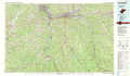 |
Charleston |
Irvine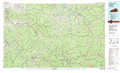 |
Williamson |
Beckley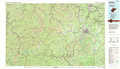 |
> Back to 38082a1 at 1:250,000 scale
> Back to U.S. Topo Maps home
1:24,000 Topo Quads covered by the spatial extent of this 100k map (Huntington)
|
Oldtown 
|
Argillite 
|
Ashland 
|
Catlettsburg 
|
Huntington 
|
Barboursville 
|
Milton 
|
Hurricane 
|
|
Grayson 
|
Rush 
|
Boltsfork 
|
Burnaugh 
|
Lavalette 
|
Winslow 
|
West Hamlin 
|
Hamlin 
|
|
Willard 
|
Webbville 
|
Fallsburg 
|
Prichard 
|
Wayne 
|
Nestlow 
|
Branchland 
|
Hager 
|
|
Mazie 
|
Blaine 
|
Adams 
|
Louisa 
|
Radnor 
|
Kiahsville 
|
Ranger 
|
Big Creek 
|