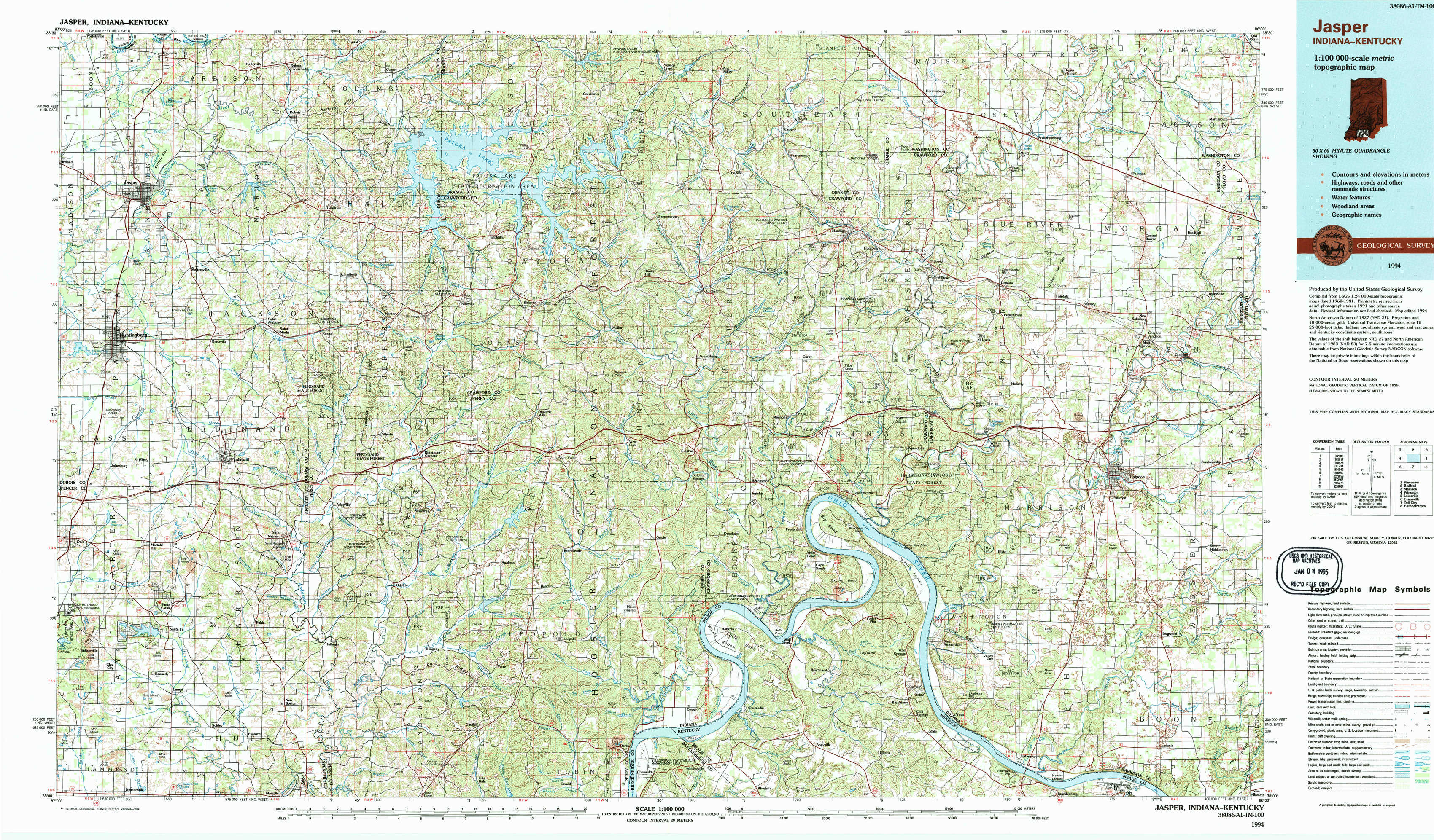
Jasper Topo Map Indiana
To zoom in, hover over the map of Jasper
USGS Topo Map 38086a1 - 1:100,000 scale
| Topo Map Name: | Jasper |
| USGS Topo Quad ID: | 38086a1 |
| Print Size: | ca. 39" wide x 24" high |
| Southeast Coordinates: | 38° N latitude / 86° W longitude |
| Map Center Coordinates: | 38.25° N latitude / 86.5° W longitude |
| U.S. States: | IN, KY |
| Filename: | 38086a1.jpg |
| Download Map JPG Image: | Jasper topo map 1:100,000 scale |
| Map Type: | Topographic |
| Topo Series: | 30´x60´ |
| Map Scale: | 1:100,000 |
| Source of Map Images: | United States Geological Survey (USGS) |
| Alternate Map Versions: |
Jasper IN 1986, updated 1986 Download PDF Buy paper map Jasper IN 1994, updated 1994 Download PDF Buy paper map |
1:100,000 Topos surrounding Jasper
Vincennes |
Bedford |
Madison |
Princeton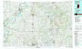 |
Jasper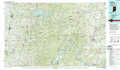 |
Louisville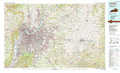 |
Evansville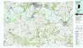 |
Tell City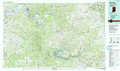 |
Elizabethtown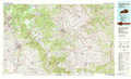 |
> Back to 38086a1 at 1:250,000 scale
> Back to U.S. Topo Maps home
1:24,000 Topo Quads covered by the spatial extent of this 100k map (Jasper)
|
Jasper 
|
Dubois 
|
Cuzco 
|
Greenbrier 
|
Valeene 
|
Hardinsburg 
|
Fredericksburg 
|
Palmyra 
|
|
Huntingburg 
|
Saint Anthony 
|
Birdseye 
|
Taswell 
|
English 
|
Milltown 
|
Depauw 
|
Crandall 
|
|
Dale 
|
Saint Meinrad 
|
Bristow 
|
Branchville 
|
Beechwood 
|
Leavenworth 
|
Corydon West 
|
Corydon East 
|
|
Santa Claus 
|
Fulda 
|
Gatchel 
|
Derby 
|
Alton 
|
New Amsterdam 
|
Mauckport 
|
Laconia 
|