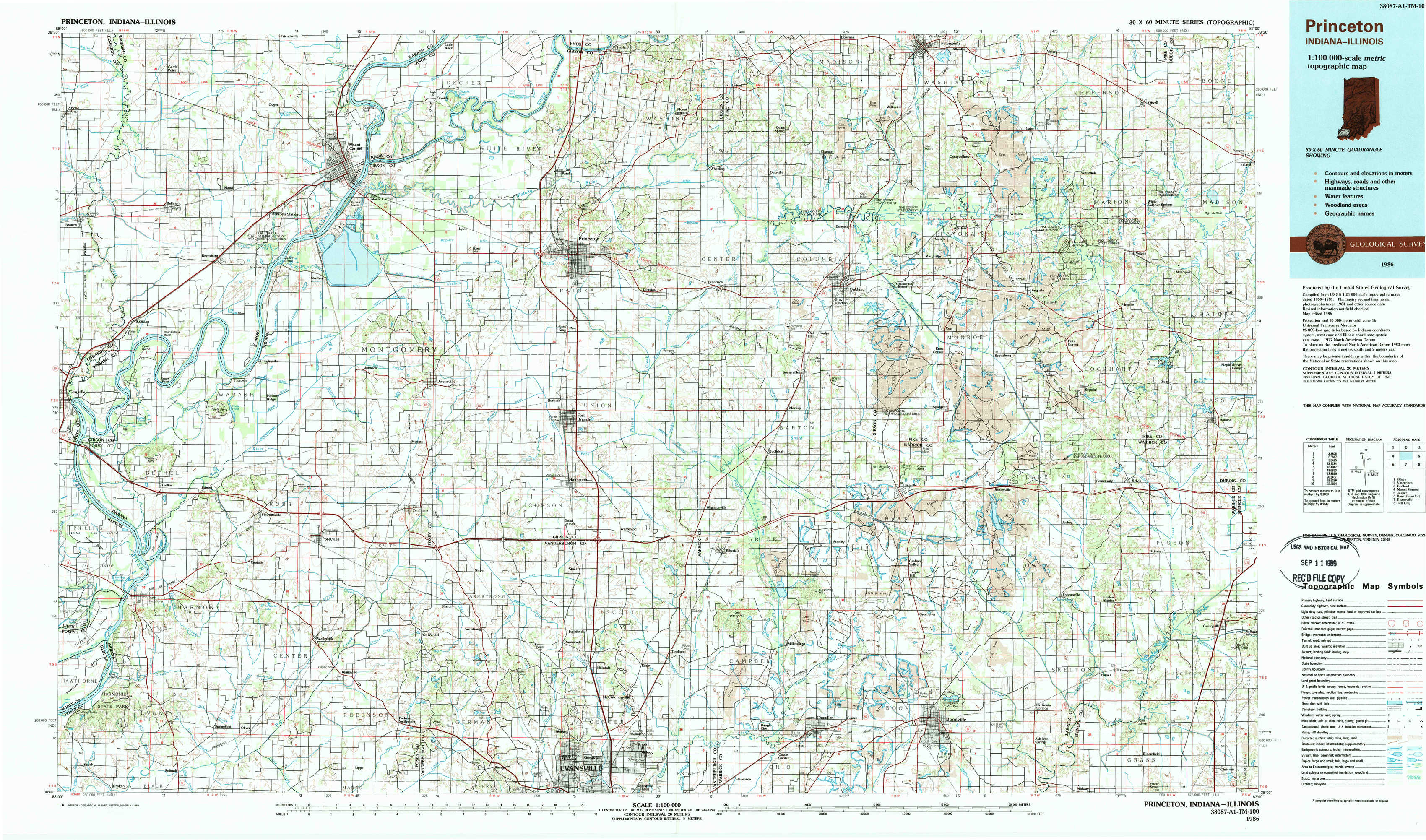
Princeton Topo Map Indiana
To zoom in, hover over the map of Princeton
USGS Topo Map 38087a1 - 1:100,000 scale
| Topo Map Name: | Princeton |
| USGS Topo Quad ID: | 38087a1 |
| Print Size: | ca. 39" wide x 24" high |
| Southeast Coordinates: | 38° N latitude / 87° W longitude |
| Map Center Coordinates: | 38.25° N latitude / 87.5° W longitude |
| U.S. States: | IN, IL |
| Filename: | 38087a1.jpg |
| Download Map JPG Image: | Princeton topo map 1:100,000 scale |
| Map Type: | Topographic |
| Topo Series: | 30´x60´ |
| Map Scale: | 1:100,000 |
| Source of Map Images: | United States Geological Survey (USGS) |
| Alternate Map Versions: |
Princeton IN 1986, updated 1986 Download PDF Buy paper map Princeton IN 1986, updated 1989 Download PDF Buy paper map |
1:100,000 Topos surrounding Princeton
Olney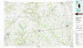 |
Vincennes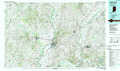 |
Bedford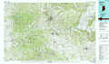 |
Mount Vernon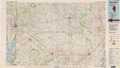 |
Princeton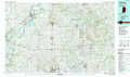 |
Jasper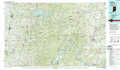 |
West Frankfort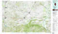 |
Evansville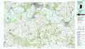 |
Tell City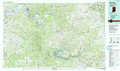 |
> Back to 38086a1 at 1:250,000 scale
> Back to U.S. Topo Maps home
1:24,000 Topo Quads covered by the spatial extent of this 100k map (Princeton)
|
Bone Gap 
|
Mount Carmel 
|
East Mount Carmel 
|
Patoka 
|
Union 
|
Petersburg 
|
Winslow 
|
Otwell 
|
|
Grayville 
|
Keensburg 
|
Owensville 
|
Princeton 
|
Francisco 
|
Oakland City 
|
Augusta 
|
Velpen 
|
|
New Harmony 
|
Poseyville 
|
Cynthiana 
|
Haubstadt 
|
Elberfeld 
|
Lynnville 
|
Folsomville 
|
Holland 
|
|
Solitude 
|
Wadesville 
|
Kasson 
|
Evansville North 
|
Daylight 
|
Boonville 
|
De Gonia Springs 
|
Chrisney 
|