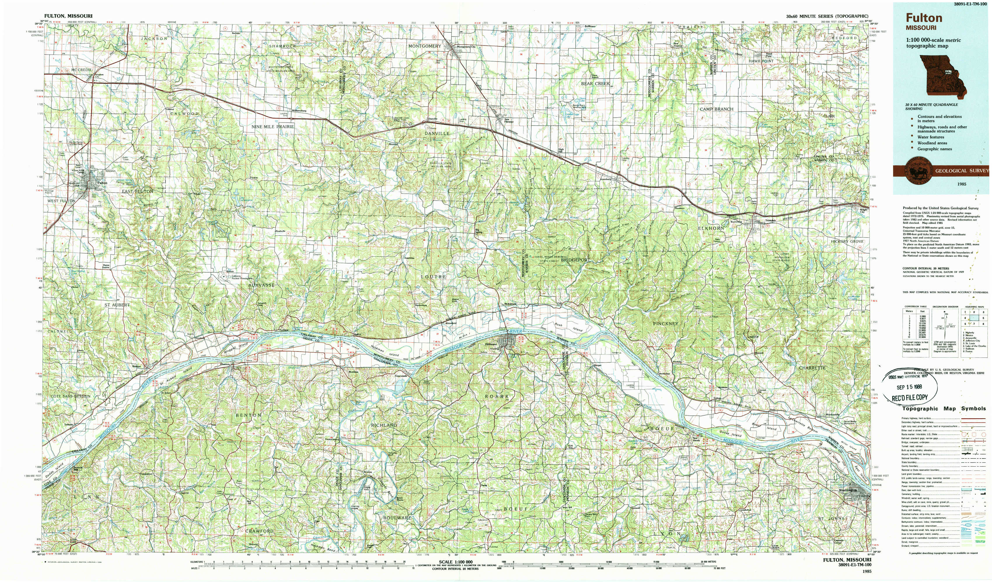
Fulton Topo Map Missouri
To zoom in, hover over the map of Fulton
USGS Topo Map 38091e1 - 1:100,000 scale
| Topo Map Name: | Fulton |
| USGS Topo Quad ID: | 38091e1 |
| Print Size: | ca. 39" wide x 24" high |
| Southeast Coordinates: | 38.5° N latitude / 91° W longitude |
| Map Center Coordinates: | 38.75° N latitude / 91.5° W longitude |
| U.S. State: | MO |
| Filename: | 38091e1.jpg |
| Download Map JPG Image: | Fulton topo map 1:100,000 scale |
| Map Type: | Topographic |
| Topo Series: | 30´x60´ |
| Map Scale: | 1:100,000 |
| Source of Map Images: | United States Geological Survey (USGS) |
| Alternate Map Versions: |
Fulton MO 1985, updated 1985 Download PDF Buy paper map Fulton MO 1985, updated 1988 Download PDF Buy paper map |
1:100,000 Topos surrounding Fulton
Moberly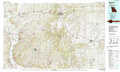 |
Mexico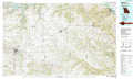 |
Jerseyville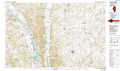 |
Jefferson City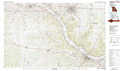 |
Fulton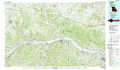 |
Saint Louis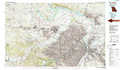 |
Lake Of The Ozarks |
Sullivan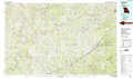 |
Festus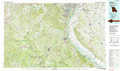 |
> Back to 38090a1 at 1:250,000 scale
> Back to U.S. Topo Maps home
1:24,000 Topo Quads covered by the spatial extent of this 100k map (Fulton)
|
Kingdom City 
|
Calwood 
|
Williamsburg 
|
Montgomery City 
|
New Florence 
|
Bellflower South 
|
Hawk Point 
|
Warrenton Ne 
|
|
Fulton 
|
Reform 
|
Readsville 
|
Americus 
|
Pinnacle Lake 
|
Jonesburg 
|
Warrenton 
|
Wright City 
|
|
Mokane West 
|
Mokane East 
|
Morrison 
|
Gasconade 
|
Hermann 
|
Berger 
|
Treloar 
|
Marthasville 
|
|
Loose Creek 
|
Luystown 
|
Fredericksburg 
|
Pershing 
|
Swiss 
|
Dissen 
|
New Haven 
|
Washington West 
|