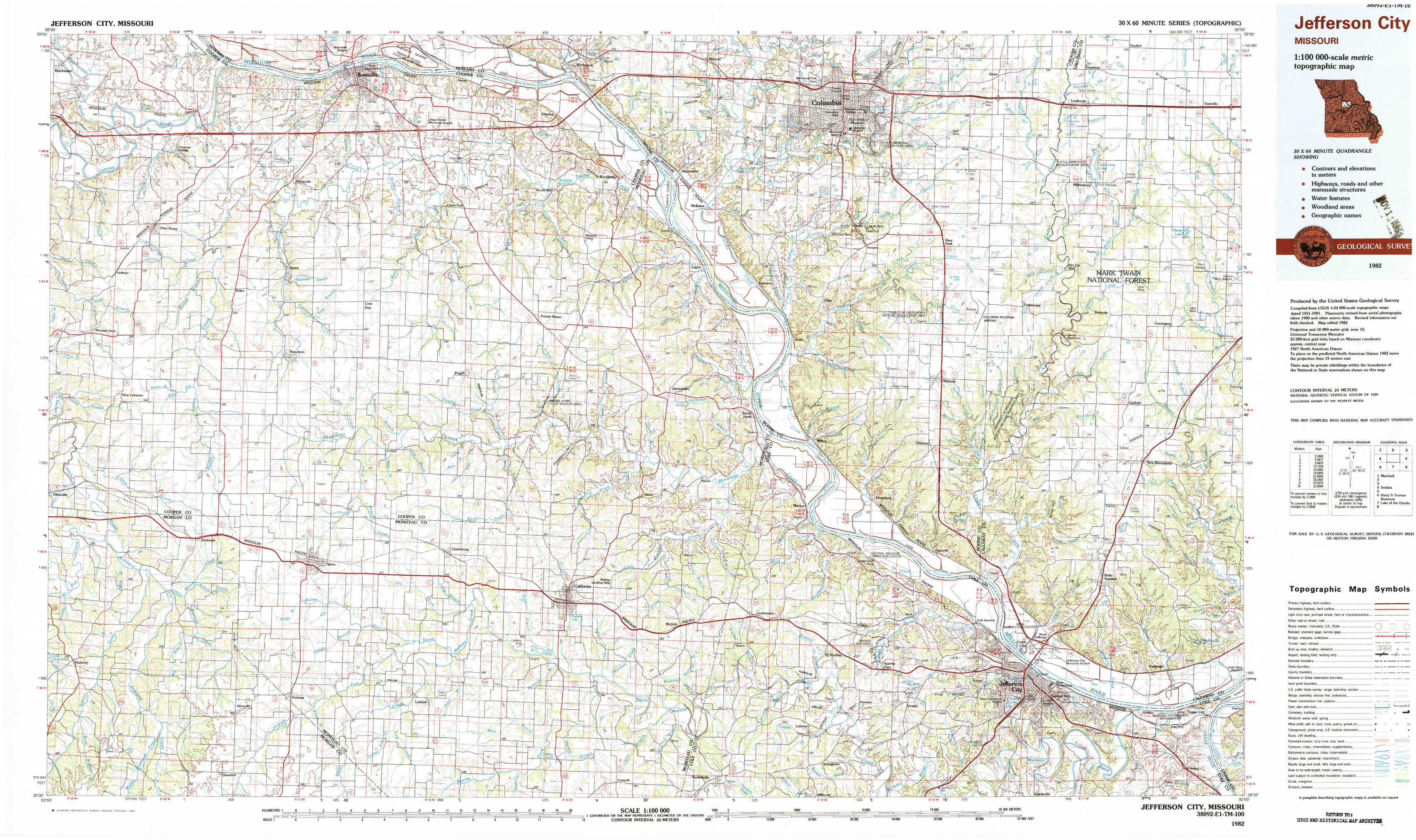
Jefferson City Topo Map Missouri
To zoom in, hover over the map of Jefferson City
USGS Topo Map 38092e1 - 1:100,000 scale
| Topo Map Name: | Jefferson City |
| USGS Topo Quad ID: | 38092e1 |
| Print Size: | ca. 39" wide x 24" high |
| Southeast Coordinates: | 38.5° N latitude / 92° W longitude |
| Map Center Coordinates: | 38.75° N latitude / 92.5° W longitude |
| U.S. State: | MO |
| Filename: | 38092e1.jpg |
| Download Map JPG Image: | Jefferson City topo map 1:100,000 scale |
| Map Type: | Topographic |
| Topo Series: | 30´x60´ |
| Map Scale: | 1:100,000 |
| Source of Map Images: | United States Geological Survey (USGS) |
| Alternate Map Versions: |
Jefferson City MO 1982, updated 1983 Download PDF Buy paper map |
1:100,000 Topos surrounding Jefferson City
Marshall |
Moberly |
Mexico |
Sedalia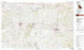 |
Jefferson City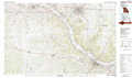 |
Fulton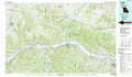 |
Harry S Truman Reservoir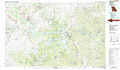 |
Lake Of The Ozarks |
Sullivan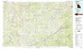 |
> Back to 38092a1 at 1:250,000 scale
> Back to U.S. Topo Maps home
1:24,000 Topo Quads covered by the spatial extent of this 100k map (Jefferson City)
|
Pilot Grove North 
|
Billingsville 
|
Boonville 
|
Rocheport 
|
Huntsdale 
|
Columbia 
|
Millersburg 
|
Millersburg Ne 
|
|
Pilot Grove South 
|
Bunceton 
|
Lone Elm 
|
Prairie Home 
|
Jamestown 
|
Ashland 
|
Millersburg Sw 
|
Guthrie 
|
|
Otterville East 
|
Tipton 
|
Clarksburg 
|
California North 
|
Centertown Nw 
|
Hartsburg 
|
Jefferson City Nw 
|
New Bloomfield 
|
|
Florence 
|
Fortuna 
|
Latham 
|
California South 
|
Russellville 
|
Lohman 
|
Jefferson City 
|
Osage City 
|