Russell Topo Map Kansas
To zoom in, hover over the map of Russell
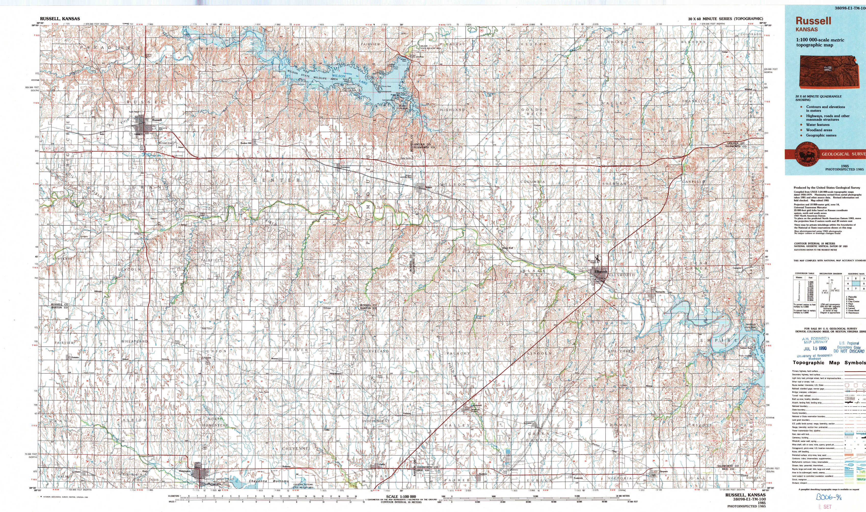
USGS Topo Map 38098e1 - 1:100,000 scale
| Topo Map Name: | Russell |
| USGS Topo Quad ID: | 38098e1 |
| Print Size: | ca. 39" wide x 24" high |
| Southeast Coordinates: | 38.5° N latitude / 98° W longitude |
| Map Center Coordinates: | 38.75° N latitude / 98.5° W longitude |
| U.S. State: | KS |
| Filename: | 38098e1.jpg |
| Download Map JPG Image: | Russell topo map 1:100,000 scale |
| Map Type: | Topographic |
| Topo Series: | 30´x60´ |
| Map Scale: | 1:100,000 |
| Source of Map Images: | United States Geological Survey (USGS) |
| Alternate Map Versions: |
Russell KS 1985, updated 1985 Download PDF Buy paper map Russell KS 1985, updated 1990 Download PDF Buy paper map |
1:100,000 Topos surrounding Russell
Plainville |
Beloit |
Clay Center |
Hays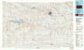 |
Russell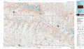 |
Salina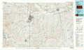 |
Larned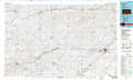 |
Great Bend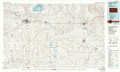 |
Hutchinson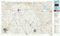 |
> Back to 38098a1 at 1:250,000 scale
> Back to U.S. Topo Maps home
1:24,000 Topo Quads covered by the spatial extent of this 100k map (Russell)
|
Russell Nw 
|
Russell 
|
Dorrance Nw 
|
Dorrance Ne 
|
Wilson Nw 
|
Wilson Ne 
|
Westfall Nw 
|
Westfall 
|
|
Russell Sw 
|
Homer 
|
Dorrance Sw 
|
Dorrance 
|
Wilson 
|
Black Wolf 
|
Westfall Sw 
|
Westfall Se 
|
|
Galatia 
|
Susank 
|
Beaver 
|
Dubuque 
|
Holyrood Nw 
|
Holyrood Ne 
|
Ellsworth 
|
Carneiro 
|
|
Olmitz 
|
Hoisington 
|
Redwing 
|
Claflin 
|
Holyrood 
|
Lorraine 
|
Geneseo 
|
Crawford 
|