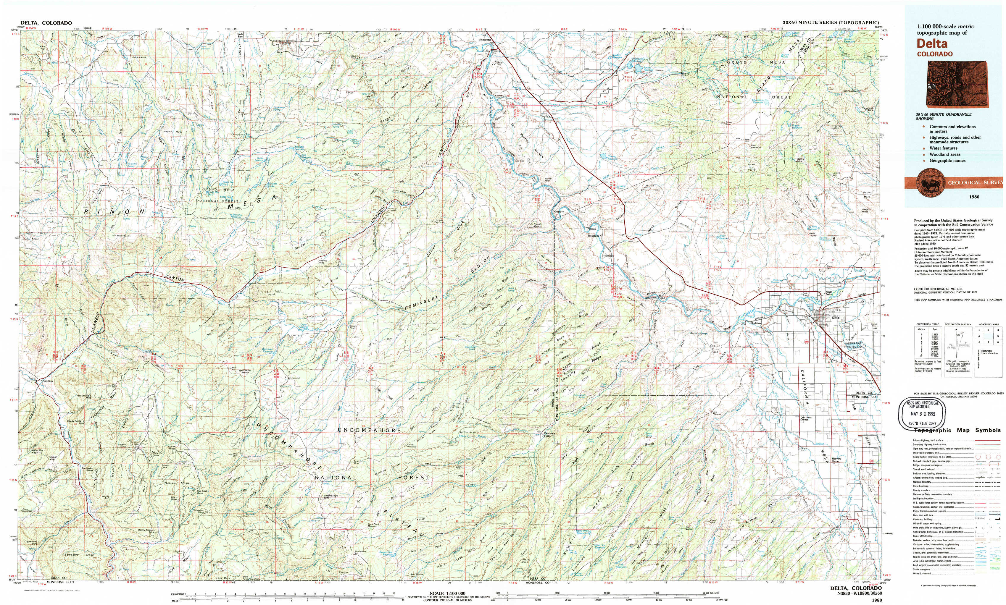
Delta Topo Map Colorado
To zoom in, hover over the map of Delta
USGS Topo Map 38108e1 - 1:100,000 scale
| Topo Map Name: | Delta |
| USGS Topo Quad ID: | 38108e1 |
| Print Size: | ca. 39" wide x 24" high |
| Southeast Coordinates: | 38.5° N latitude / 108° W longitude |
| Map Center Coordinates: | 38.75° N latitude / 108.5° W longitude |
| U.S. State: | CO |
| Filename: | 38108e1.jpg |
| Download Map JPG Image: | Delta topo map 1:100,000 scale |
| Map Type: | Topographic |
| Topo Series: | 30´x60´ |
| Map Scale: | 1:100,000 |
| Source of Map Images: | United States Geological Survey (USGS) |
| Alternate Map Versions: |
Delta CO 1980, updated 1980 Download PDF Buy paper map Delta CO 1980, updated 1980 Download PDF Buy paper map |
1:100,000 Topos surrounding Delta
Westwater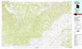 |
Grand Junction |
Carbondale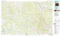 |
Moab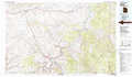 |
Delta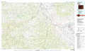 |
Paonia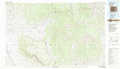 |
La Sal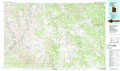 |
Nucla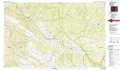 |
Montrose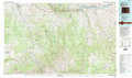 |
> Back to 38108a1 at 1:250,000 scale
> Back to U.S. Topo Maps home
1:24,000 Topo Quads covered by the spatial extent of this 100k map (Delta)
|
Bieser Creek 
|
Payne Wash 
|
Glade Park 
|
Island Mesa 
|
Whitewater 
|
Juniata Reservoir 
|
Indian Point 
|
Hells Kitchen 
|
|
Two V Basin 
|
Fish Creek 
|
Snyder Flats 
|
Jacks Canyon 
|
Triangle Mesa 
|
Dominguez 
|
Point Creek 
|
North Delta 
|
|
Gateway 
|
Pine Mountain 
|
Casto Reservoir 
|
Keith Creek 
|
Escalante Forks 
|
Good Point 
|
Roubideau 
|
Delta 
|
|
Juanita Arch 
|
Calamity Mesa 
|
Uncompahgre Butte 
|
Snipe Mountain 
|
Kelso Point 
|
Cottonwood Basin 
|
Camel Back 
|
Hoovers Corner 
|