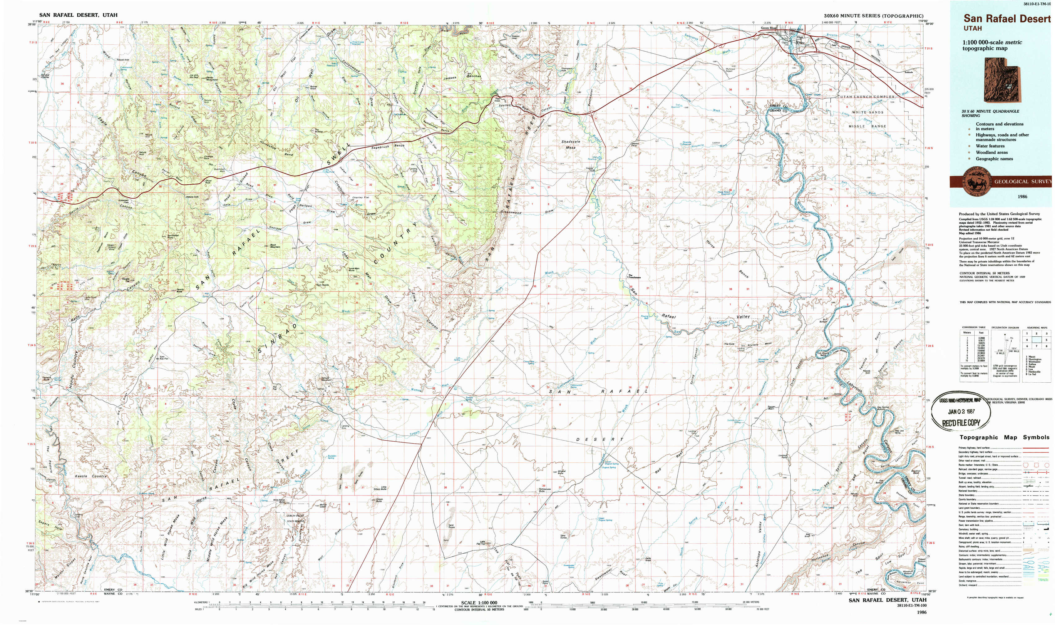
San Rafael Desert Topo Map Utah
To zoom in, hover over the map of San Rafael Desert
USGS Topo Map 38110e1 - 1:100,000 scale
| Topo Map Name: | San Rafael Desert |
| USGS Topo Quad ID: | 38110e1 |
| Print Size: | ca. 39" wide x 24" high |
| Southeast Coordinates: | 38.5° N latitude / 110° W longitude |
| Map Center Coordinates: | 38.75° N latitude / 110.5° W longitude |
| U.S. State: | UT |
| Filename: | 38110e1.jpg |
| Download Map JPG Image: | San Rafael Desert topo map 1:100,000 scale |
| Map Type: | Topographic |
| Topo Series: | 30´x60´ |
| Map Scale: | 1:100,000 |
| Source of Map Images: | United States Geological Survey (USGS) |
| Alternate Map Versions: |
San Rafael Desert UT 1985, updated 1985 Download PDF Buy paper map San Rafael Desert UT 1986, updated 1987 Download PDF Buy paper map San Rafael Desert UT 1986, updated 1987 Download PDF Buy paper map |
1:100,000 Topos surrounding San Rafael Desert
Manti |
Huntington |
Westwater |
Salina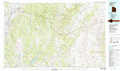 |
San Rafael Desert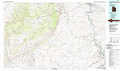 |
Moab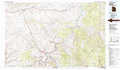 |
Loa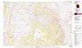 |
Hanksville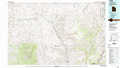 |
La Sal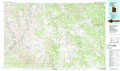 |
> Back to 38110a1 at 1:250,000 scale
> Back to U.S. Topo Maps home
1:24,000 Topo Quads covered by the spatial extent of this 100k map (San Rafael Desert)
|
Sid And Charley 
|
The Blocks 
|
The Wickiup 
|
Drowned Hole Draw 
|
Spotted Wolf Canyon 
|
Jessies Twist 
|
Green River 
|
Green River Ne 
|
|
Copper Globe 
|
San Rafael Knob 
|
Twin Knolls 
|
Arsons Garden 
|
Greasewood Draw 
|
Horse Bench West 
|
Horse Bench East 
|
Green River Se 
|
|
Tomsich Butte 
|
Horse Valley 
|
Temple Mountain 
|
Old Woman Wash 
|
Crows Nest Spring 
|
Spring Canyon 
|
Moonshine Wash 
|
Tenmile Point 
|
|
Hunt Draw 
|
Little Wild Horse Mesa 
|
Goblin Valley 
|
Gilson Butte 
|
The Flat Tops 
|
Jacks Knob 
|
Keg Knoll 
|
Bowknot Bend 
|