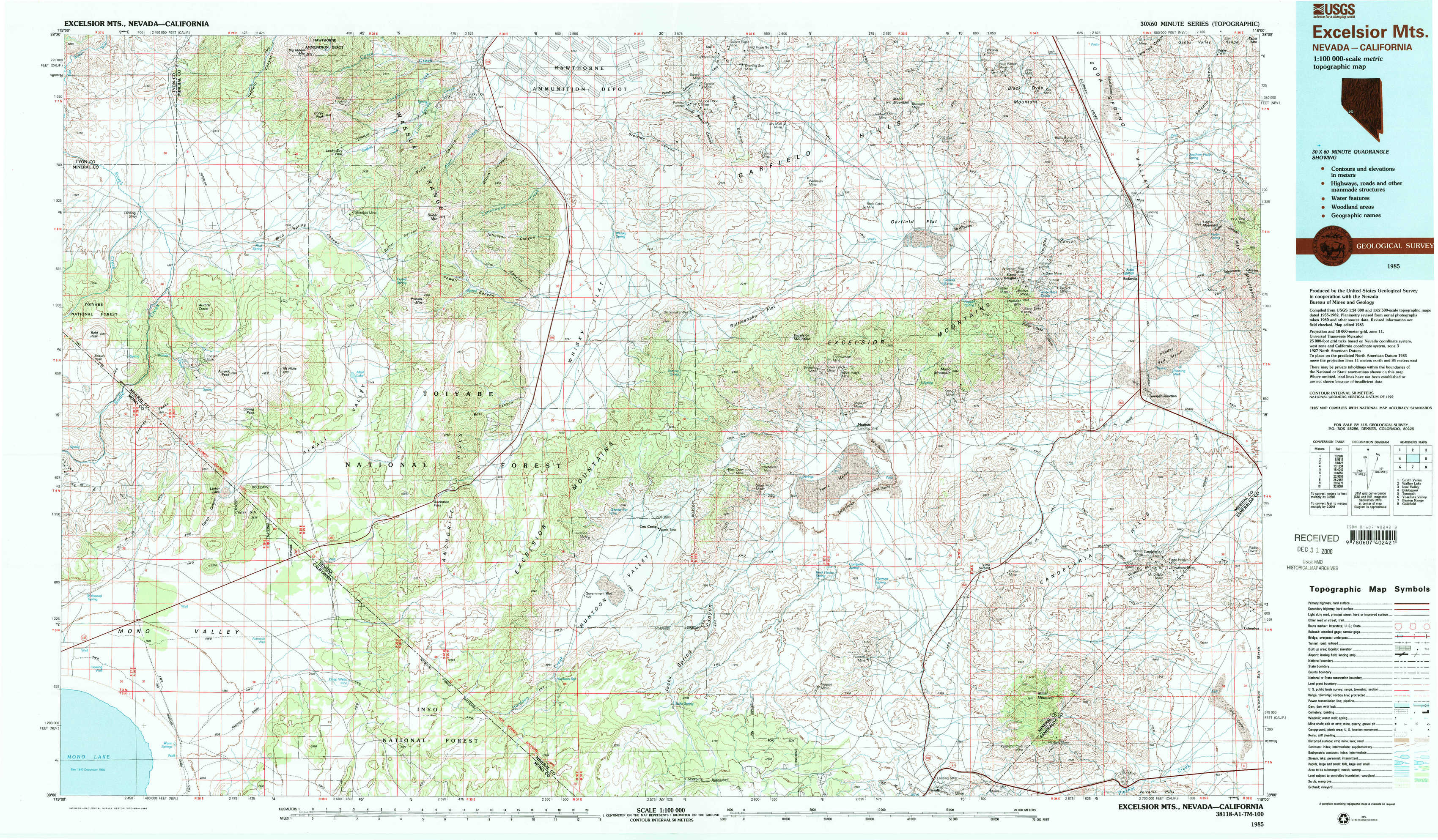
Excelsior Mountains Topo Map Nevada
To zoom in, hover over the map of Excelsior Mountains
USGS Topo Map 38118a1 - 1:100,000 scale
| Topo Map Name: | Excelsior Mountains |
| USGS Topo Quad ID: | 38118a1 |
| Print Size: | ca. 39" wide x 24" high |
| Southeast Coordinates: | 38° N latitude / 118° W longitude |
| Map Center Coordinates: | 38.25° N latitude / 118.5° W longitude |
| U.S. States: | NV, CA |
| Filename: | 38118a1.jpg |
| Download Map JPG Image: | Excelsior Mountains topo map 1:100,000 scale |
| Map Type: | Topographic |
| Topo Series: | 30´x60´ |
| Map Scale: | 1:100,000 |
| Source of Map Images: | United States Geological Survey (USGS) |
| Alternate Map Versions: |
Excelsior Mts NV 1985, updated 1985 Download PDF Buy paper map |
1:100,000 Topos surrounding Excelsior Mountains
Smith Valley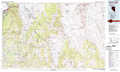 |
Walker Lake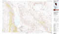 |
Ione Valley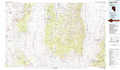 |
Bridgeport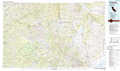 |
Excelsior Mountains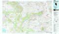 |
Tonopah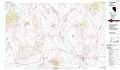 |
Yosemite Valley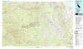 |
Benton Range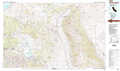 |
Goldfield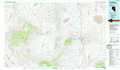 |
> Back to 38118a1 at 1:250,000 scale
> Back to U.S. Topo Maps home
1:24,000 Topo Quads covered by the spatial extent of this 100k map (Excelsior Mountains)
|
Ninemile Ranch 
|
Corey Peak 
|
Lucky Boy 
|
Powell Mountain Ne 
|
Pamlico 
|
Mable Mountain 
|
Black Dyke Mountain 
|
Mina 
|
|
Aurora 
|
Mount Hicks 
|
Powell Mountain 
|
Whisky Flat 
|
Rattlesnake Flat 
|
Moho Mountain 
|
Camp Douglas 
|
Sodaville 
|
|
Kirkwood Spring 
|
Cedar Hill 
|
Anchorite Hills 
|
Huntoon Valley 
|
Little Huntoon Valley 
|
Teels Marsh 
|
Belleville 
|
Candelaria 
|
|
Sulphur Pond 
|
Alameda Well 
|
West Of Huntoon Spring 
|
Huntoon Spring 
|
Jacks Spring 
|
Basalt 
|
Miller Mountain 
|
Columbus 
|