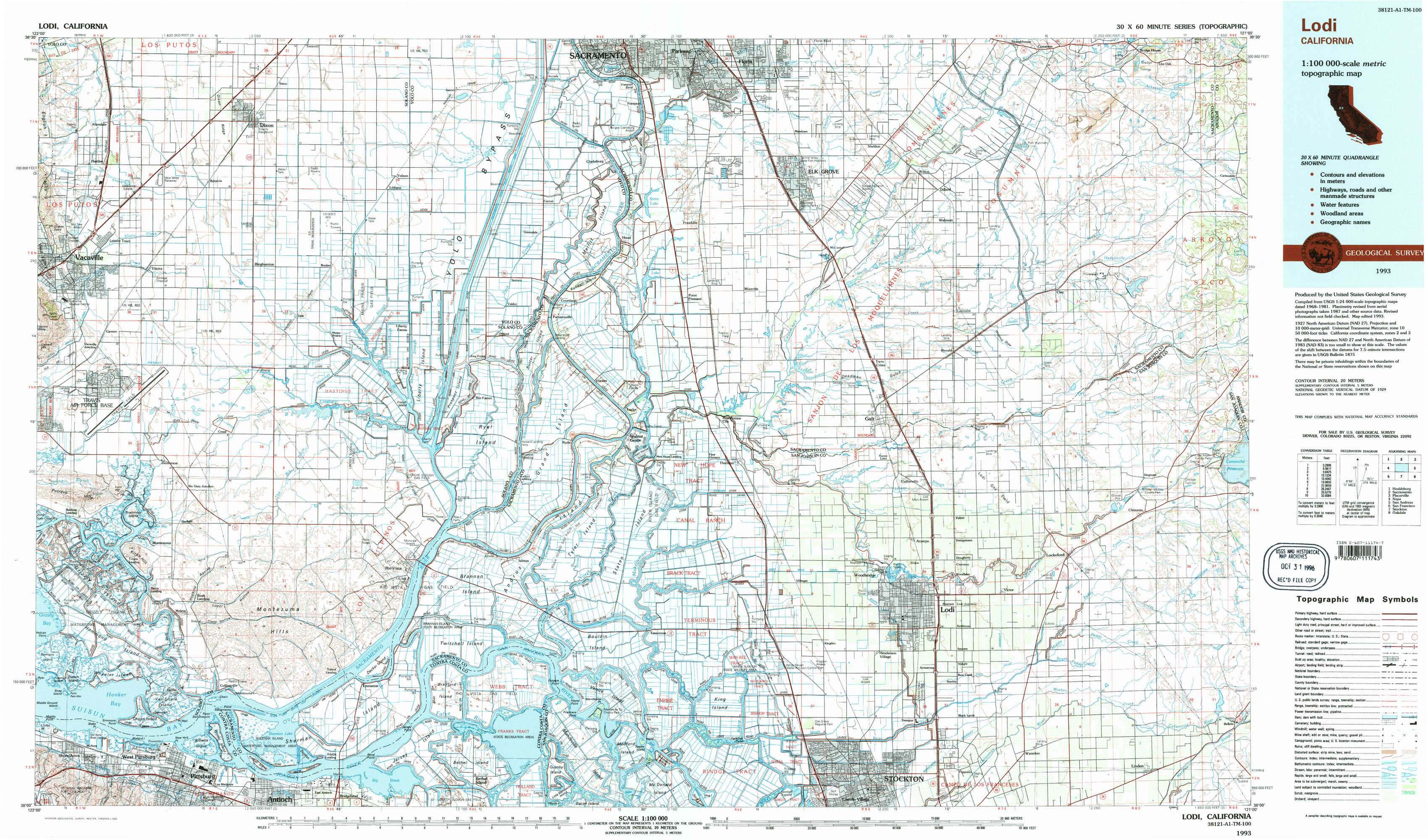
Lodi Topo Map California
To zoom in, hover over the map of Lodi
USGS Topo Map 38121a1 - 1:100,000 scale
| Topo Map Name: | Lodi |
| USGS Topo Quad ID: | 38121a1 |
| Print Size: | ca. 39" wide x 24" high |
| Southeast Coordinates: | 38° N latitude / 121° W longitude |
| Map Center Coordinates: | 38.25° N latitude / 121.5° W longitude |
| U.S. State: | CA |
| Filename: | 38121a1.jpg |
| Download Map JPG Image: | Lodi topo map 1:100,000 scale |
| Map Type: | Topographic |
| Topo Series: | 30´x60´ |
| Map Scale: | 1:100,000 |
| Source of Map Images: | United States Geological Survey (USGS) |
| Alternate Map Versions: |
Lodi CA 1993, updated 1994 Download PDF Buy paper map Lodi CA 1993, updated 1994 Download PDF Buy paper map |
1:100,000 Topos surrounding Lodi
Healdsburg |
Sacramento |
Placerville |
Napa |
Lodi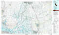 |
San Andreas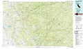 |
San Francisco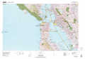 |
Stockton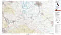 |
Oakdale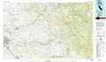 |
> Back to 38120a1 at 1:250,000 scale
> Back to U.S. Topo Maps home
1:24,000 Topo Quads covered by the spatial extent of this 100k map (Lodi)
|
Allendale 
|
Dixon 
|
Saxon 
|
Clarksburg 
|
Florin 
|
Elk Grove 
|
Sloughhouse 
|
Carbondale 
|
|
Elmira 
|
Dozier 
|
Liberty Island 
|
Courtland 
|
Bruceville 
|
Galt 
|
Clay 
|
Goose Creek 
|
|
Denverton 
|
Birds Landing 
|
Rio Vista 
|
Isleton 
|
Thornton 
|
Lodi North 
|
Lockeford 
|
Clements 
|
|
Honker Bay 
|
Antioch North 
|
Jersey Island 
|
Bouldin Island 
|
Terminous 
|
Lodi South 
|
Waterloo 
|
Linden 
|