Cumberland Topo Map Maryland
To zoom in, hover over the map of Cumberland
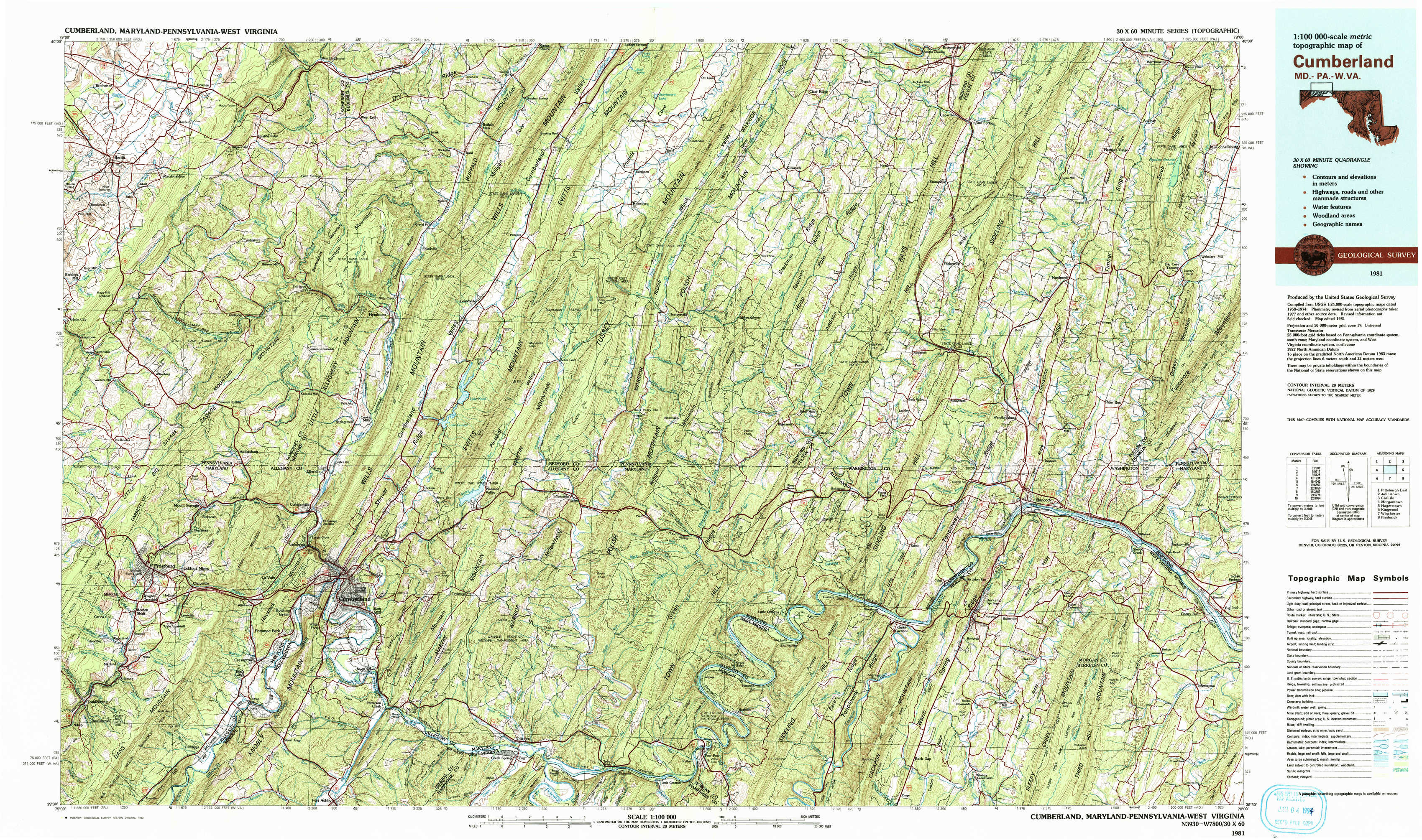
USGS Topo Map 39078e1 - 1:100,000 scale
| Topo Map Name: | Cumberland |
| USGS Topo Quad ID: | 39078e1 |
| Print Size: | ca. 39" wide x 24" high |
| Southeast Coordinates: | 39.5° N latitude / 78° W longitude |
| Map Center Coordinates: | 39.75° N latitude / 78.5° W longitude |
| U.S. States: | MD, PA, WV |
| Filename: | 39078e1.jpg |
| Download Map JPG Image: | Cumberland topo map 1:100,000 scale |
| Map Type: | Topographic |
| Topo Series: | 30´x60´ |
| Map Scale: | 1:100,000 |
| Source of Map Images: | United States Geological Survey (USGS) |
| Alternate Map Versions: |
Cumberland MD 1981, updated 1982 Download PDF Buy paper map Cumberland MD 1981, updated 1993 Download PDF Buy paper map |
1:100,000 Topos surrounding Cumberland
Pittsburgh East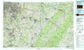 |
Johnstown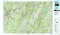 |
Carlisle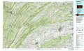 |
Morgantown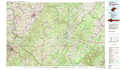 |
Cumberland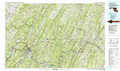 |
Hagerstown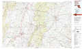 |
Kingwood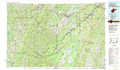 |
Winchester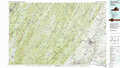 |
Frederick |
> Back to 39078a1 at 1:250,000 scale
> Back to U.S. Topo Maps home
1:24,000 Topo Quads covered by the spatial extent of this 100k map (Cumberland)
|
Berlin 
|
New Baltimore 
|
Buffalo Mills 
|
Rainsburg 
|
Clearville 
|
Mench 
|
Breezewood 
|
Meadow Grounds 
|
|
Wittenberg 
|
Fairhope 
|
Hyndman 
|
Beans Cove 
|
Chaneysville 
|
Amaranth 
|
Needmore 
|
Big Cove Tannery 
|
|
Frostburg 
|
Cumberland 
|
Evitts Creek 
|
Flintstone 
|
Artemas 
|
Bellegrove 
|
Hancock 
|
Cherry Run 
|
|
Lonaconing 
|
Cresaptown 
|
Patterson Creek 
|
Oldtown 
|
Paw Paw 
|
Great Cacapon 
|
Stotlers Crossroads 
|
Big Pool 
|