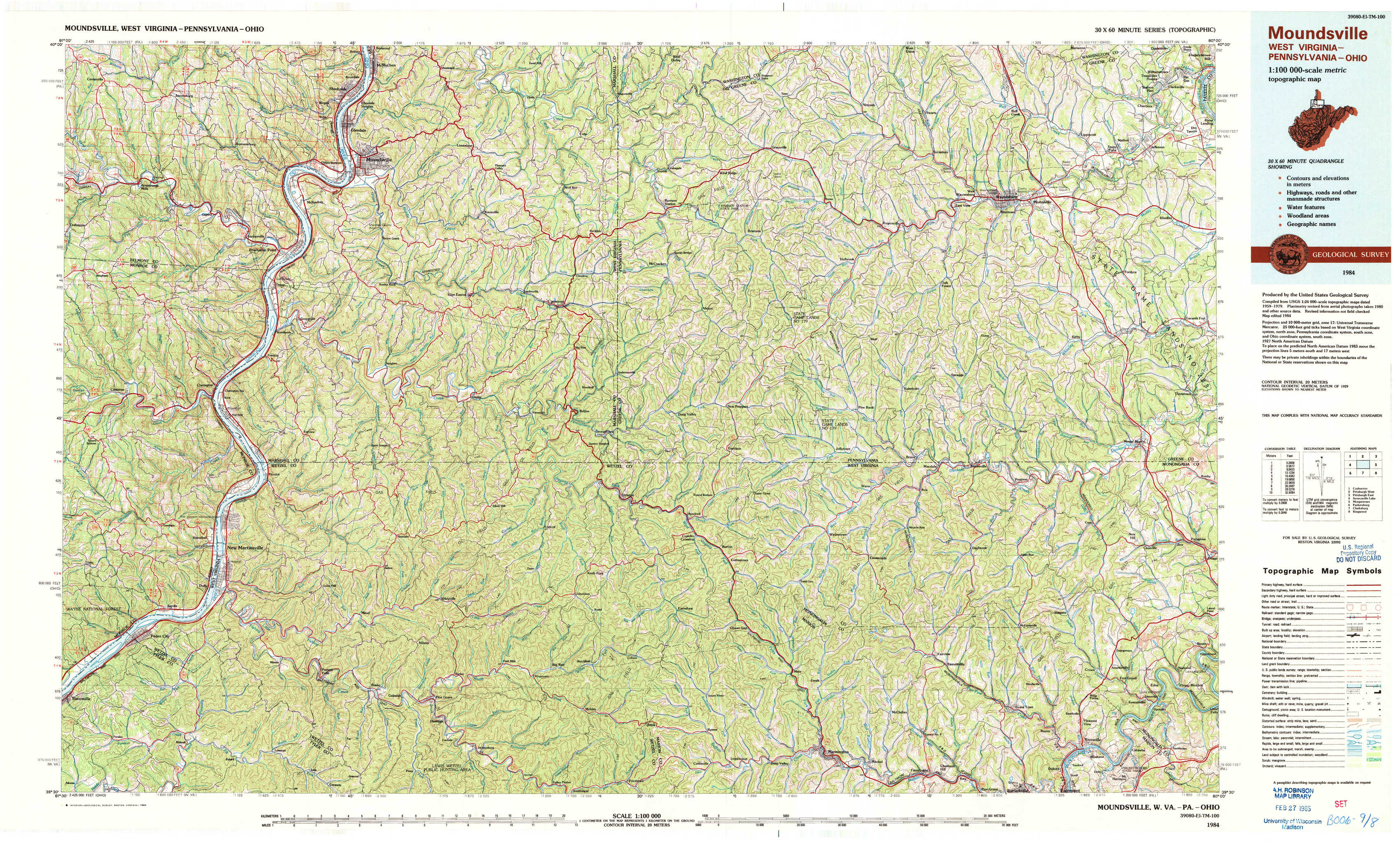
Moundsville Topo Map West Virginia
To zoom in, hover over the map of Moundsville
USGS Topo Map 39080e1 - 1:100,000 scale
| Topo Map Name: | Moundsville |
| USGS Topo Quad ID: | 39080e1 |
| Print Size: | ca. 39" wide x 24" high |
| Southeast Coordinates: | 39.5° N latitude / 80° W longitude |
| Map Center Coordinates: | 39.75° N latitude / 80.5° W longitude |
| U.S. States: | WV, PA, OH |
| Filename: | 39080e1.jpg |
| Download Map JPG Image: | Moundsville topo map 1:100,000 scale |
| Map Type: | Topographic |
| Topo Series: | 30´x60´ |
| Map Scale: | 1:100,000 |
| Source of Map Images: | United States Geological Survey (USGS) |
| Alternate Map Versions: |
Moundsville WV 1984, updated 1984 Download PDF Buy paper map |
1:100,000 Topos surrounding Moundsville
Coshocton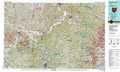 |
Pittsburgh West |
Pittsburgh East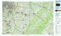 |
Senecaville Lake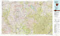 |
Moundsville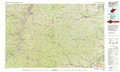 |
Morgantown |
Parkersburg |
Clarksburg |
Kingwood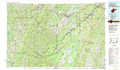 |
> Back to 39080a1 at 1:250,000 scale
> Back to U.S. Topo Maps home
1:24,000 Topo Quads covered by the spatial extent of this 100k map (Moundsville)
|
Armstrongs Mills 
|
Businessburg 
|
Moundsville 
|
Majorsville 
|
Wind Ridge 
|
Rogersville 
|
Waynesburg 
|
Mather 
|
|
Cameron 
|
Powhatan Point 
|
Glen Easton 
|
Cameron 
|
New Freeport 
|
Holbrook 
|
Oak Forest 
|
Garards Fort 
|
|
Round Bottom 
|
New Martinsville 
|
Wileyville 
|
Littleton 
|
Hundred 
|
Wadestown 
|
Blacksville 
|
Osage 
|
|
Paden City 
|
Porters Falls 
|
Pine Grove 
|
Big Run 
|
Glover Gap 
|
Mannington 
|
Grant Town 
|
Rivesville 
|