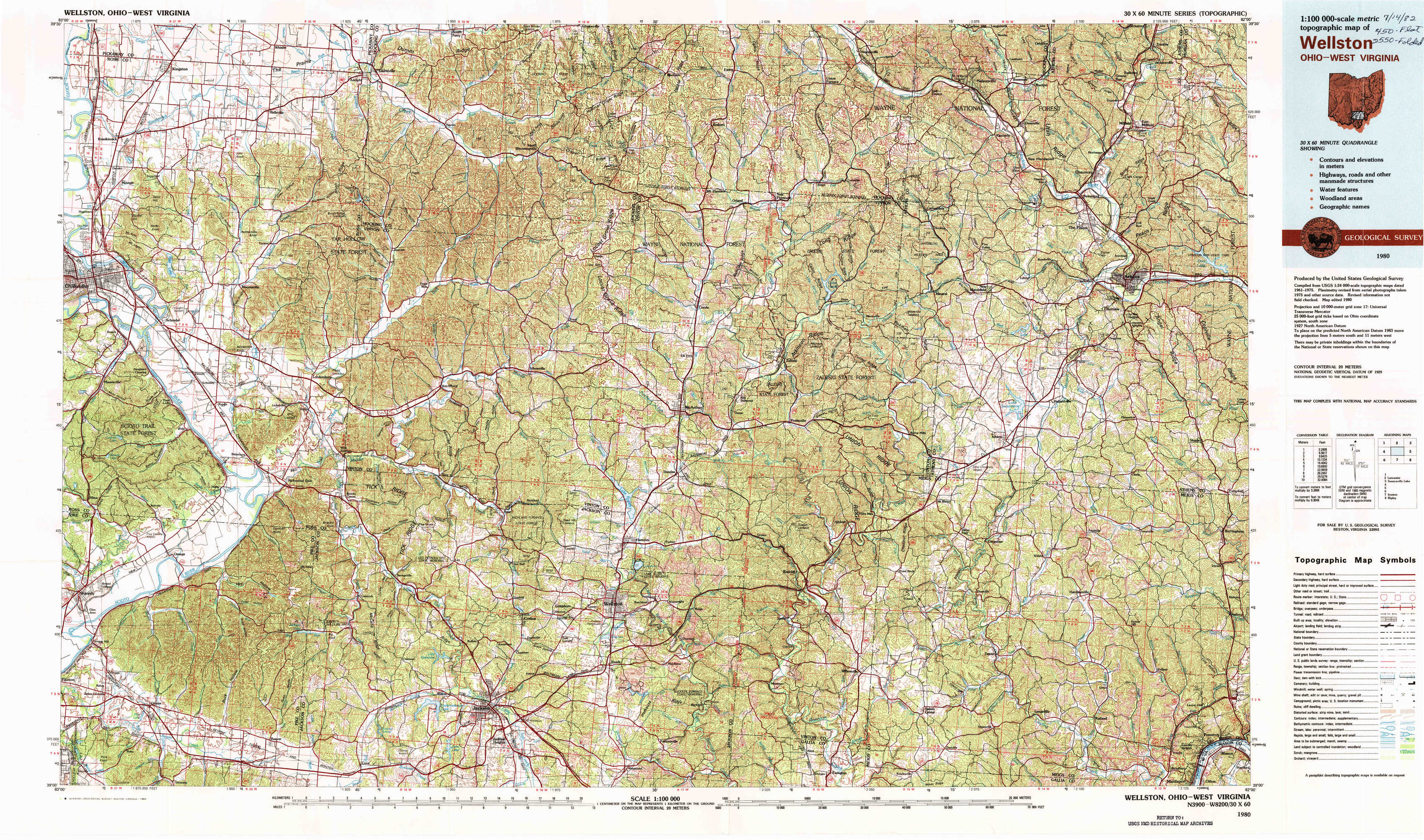
Wellston Topo Map Ohio
To zoom in, hover over the map of Wellston
USGS Topo Map 39082a1 - 1:100,000 scale
| Topo Map Name: | Wellston |
| USGS Topo Quad ID: | 39082a1 |
| Print Size: | ca. 39" wide x 24" high |
| Southeast Coordinates: | 39° N latitude / 82° W longitude |
| Map Center Coordinates: | 39.25° N latitude / 82.5° W longitude |
| U.S. States: | OH, WV |
| Filename: | 39082a1.jpg |
| Download Map JPG Image: | Wellston topo map 1:100,000 scale |
| Map Type: | Topographic |
| Topo Series: | 30´x60´ |
| Map Scale: | 1:100,000 |
| Source of Map Images: | United States Geological Survey (USGS) |
| Alternate Map Versions: |
Wellston OH 1980, updated 1982 Download PDF Buy paper map |
1:100,000 Topos surrounding Wellston
Springfield |
Lancaster |
Senecaville Lake |
Hillsboro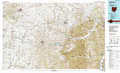 |
Wellston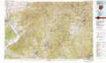 |
Parkersburg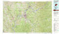 |
Maysville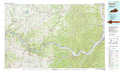 |
Ironton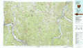 |
Ripley |
> Back to 39082a1 at 1:250,000 scale
> Back to U.S. Topo Maps home
1:24,000 Topo Quads covered by the spatial extent of this 100k map (Wellston)
|
Kingston 
|
Hallsville 
|
Laurelville 
|
South Bloomingville 
|
New Plymouth 
|
Union Furnace 
|
Nelsonville 
|
Jacksonville 
|
|
Chillicothe East 
|
Londonderry 
|
Ratcliffburg 
|
Allensville 
|
Zaleski 
|
Mineral 
|
The Plains 
|
Athens 
|
|
Waverly North 
|
Richmond Dale 
|
Byer 
|
Hamden 
|
Mcarthur 
|
Vales Mills 
|
Albany 
|
Shade 
|
|
Waverly South 
|
Beaver 
|
Jackson 
|
Wellston 
|
Mulga 
|
Wilkesville 
|
Rutland 
|
Pomeroy 
|