Atchison Topo Map Kansas
To zoom in, hover over the map of Atchison
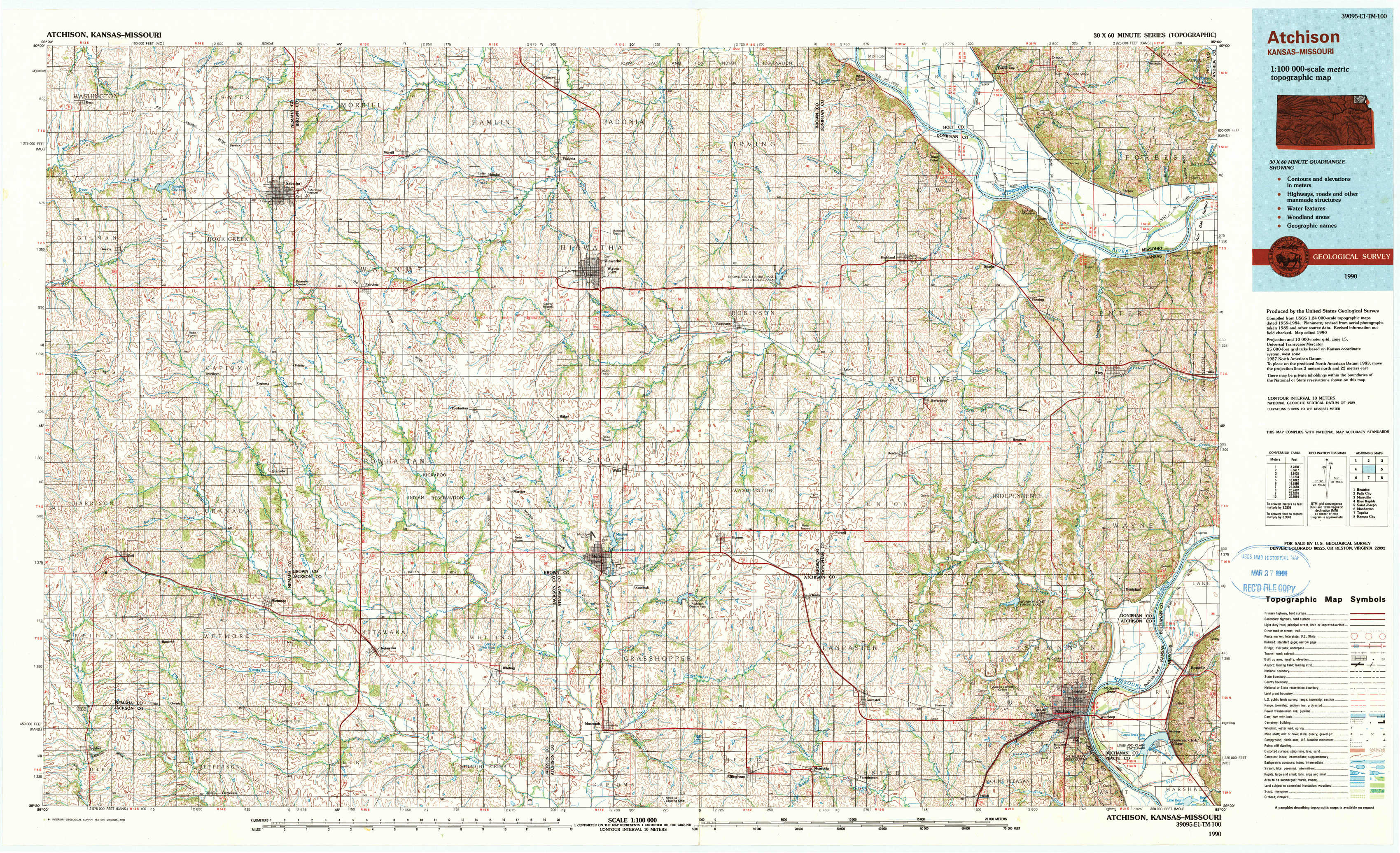
USGS Topo Map 39095e1 - 1:100,000 scale
| Topo Map Name: | Atchison |
| USGS Topo Quad ID: | 39095e1 |
| Print Size: | ca. 39" wide x 24" high |
| Southeast Coordinates: | 39.5° N latitude / 95° W longitude |
| Map Center Coordinates: | 39.75° N latitude / 95.5° W longitude |
| U.S. States: | KS, MO, NE |
| Filename: | 39095e1.jpg |
| Download Map JPG Image: | Atchison topo map 1:100,000 scale |
| Map Type: | Topographic |
| Topo Series: | 30´x60´ |
| Map Scale: | 1:100,000 |
| Source of Map Images: | United States Geological Survey (USGS) |
| Alternate Map Versions: |
Atchison KS 1985, updated 1985 Download PDF Buy paper map Atchison KS 1990, updated 1990 Download PDF Buy paper map |
1:100,000 Topos surrounding Atchison
Beatrice |
Falls City |
Maryville |
Blue Rapids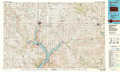 |
Atchison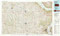 |
Saint Joseph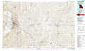 |
Manhattan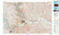 |
Topeka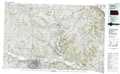 |
Kansas City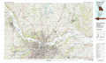 |
> Back to 39094a1 at 1:250,000 scale
> Back to U.S. Topo Maps home
1:24,000 Topo Quads covered by the spatial extent of this 100k map (Atchison)
|
Bern 
|
Sabetha 
|
Morrill 
|
Reserve 
|
Highland Nw 
|
White Cloud 
|
Oregon 
|
Forbes 
|
|
Oneida 
|
Woodlawn 
|
Fairview 
|
Hiawatha 
|
Robinson 
|
Highland 
|
Sparks 
|
Troy 
|
|
Goff 
|
Wetmore 
|
Horton Nw 
|
Horton 
|
Everest 
|
Denton 
|
Bendena 
|
Atchison Ne 
|
|
Soldier 
|
Circleville 
|
Netawaka 
|
Whiting 
|
Effingham 
|
Lancaster 
|
Atchison West 
|
Atchison East 
|