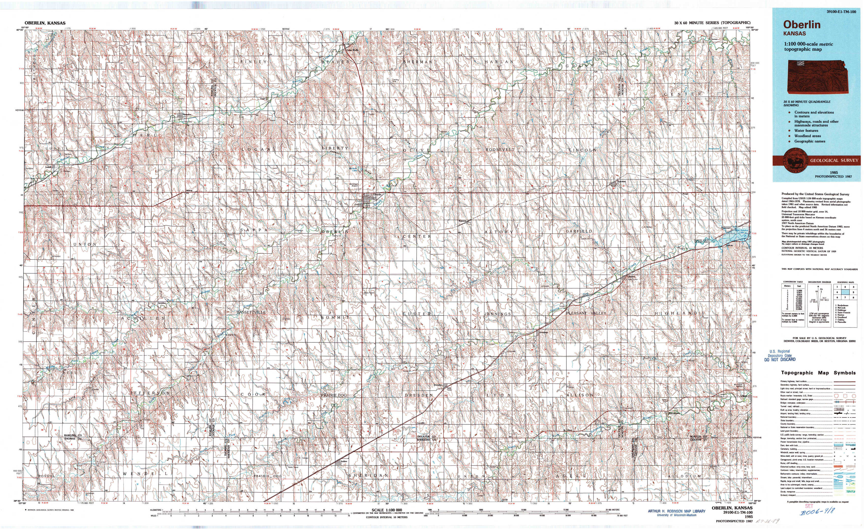
Oberlin Topo Map Kansas
To zoom in, hover over the map of Oberlin
USGS Topo Map 39100e1 - 1:100,000 scale
| Topo Map Name: | Oberlin |
| USGS Topo Quad ID: | 39100e1 |
| Print Size: | ca. 39" wide x 24" high |
| Southeast Coordinates: | 39.5° N latitude / 100° W longitude |
| Map Center Coordinates: | 39.75° N latitude / 100.5° W longitude |
| U.S. State: | KS |
| Filename: | 39100e1.jpg |
| Download Map JPG Image: | Oberlin topo map 1:100,000 scale |
| Map Type: | Topographic |
| Topo Series: | 30´x60´ |
| Map Scale: | 1:100,000 |
| Source of Map Images: | United States Geological Survey (USGS) |
| Alternate Map Versions: |
Oberlin KS 1985, updated 1985 Download PDF Buy paper map Oberlin KS 1985, updated 1989 Download PDF Buy paper map |
1:100,000 Topos surrounding Oberlin
Benkelman |
Mc Cook |
Holdrege |
Saint Francis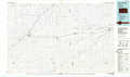 |
Oberlin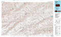 |
Norton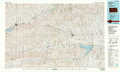 |
Goodland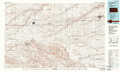 |
Oakley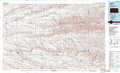 |
Plainville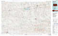 |
> Back to 39100a1 at 1:250,000 scale
> Back to U.S. Topo Maps home
1:24,000 Topo Quads covered by the spatial extent of this 100k map (Oberlin)
|
Herndon Nw 
|
Herndon 
|
Traer 
|
Oberlin Ne 
|
Kanona Nw 
|
Kanona Ne 
|
Lyle 
|
Devizes 
|
|
Ludell 
|
Midway 
|
Oberlin Sw 
|
Oberlin 
|
Kanona 
|
Kanona Se 
|
Norcatur 
|
Reager 
|
|
Long Draw North 
|
Achilles 
|
Selden Nw 
|
Selden Ne 
|
Dresden North 
|
Jennings 
|
Clayton 
|
Clayton Ne 
|
|
Long Draw South 
|
Achilles Se 
|
Selden Sw 
|
Selden 
|
Dresden South 
|
Allison 
|
Clayton Sw 
|
Lenora West 
|