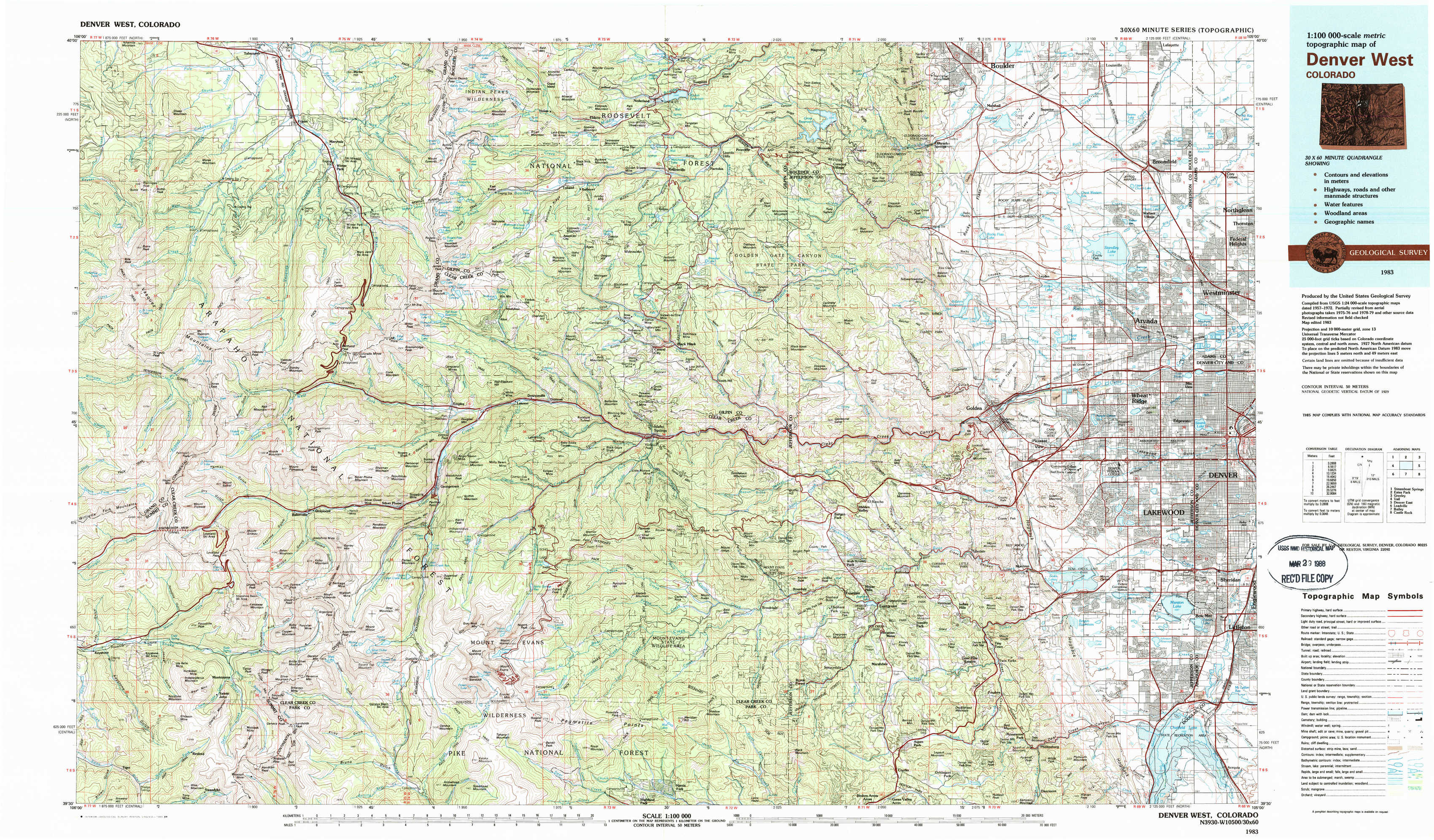
Denver West Topo Map Colorado
To zoom in, hover over the map of Denver West
USGS Topo Map 39105e1 - 1:100,000 scale
| Topo Map Name: | Denver West |
| USGS Topo Quad ID: | 39105e1 |
| Print Size: | ca. 39" wide x 24" high |
| Southeast Coordinates: | 39.5° N latitude / 105° W longitude |
| Map Center Coordinates: | 39.75° N latitude / 105.5° W longitude |
| U.S. State: | CO |
| Filename: | 39105e1.jpg |
| Download Map JPG Image: | Denver West topo map 1:100,000 scale |
| Map Type: | Topographic |
| Topo Series: | 30´x60´ |
| Map Scale: | 1:100,000 |
| Source of Map Images: | United States Geological Survey (USGS) |
| Alternate Map Versions: |
Denver West CO 1983, updated 1983 Download PDF Buy paper map Denver West CO 1983, updated 1988 Download PDF Buy paper map |
1:100,000 Topos surrounding Denver West
Steamboat Springs |
Estes Park |
Greeley |
Vail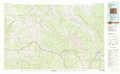 |
Denver West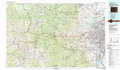 |
Denver East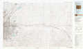 |
Leadville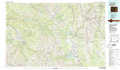 |
Bailey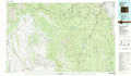 |
Castle Rock |
> Back to 39104a1 at 1:250,000 scale
> Back to U.S. Topo Maps home
1:24,000 Topo Quads covered by the spatial extent of this 100k map (Denver West)
|
Bottle Pass 
|
Fraser 
|
East Portal 
|
Nederland 
|
Tunsgten 
|
Eldorado Springs 
|
Louisville 
|
Lafayette 
|
|
Byers Peak 
|
Berthoud Pass 
|
Empire 
|
Central City 
|
Black Hawk 
|
Ralston Buttes 
|
Golden 
|
Arvada 
|
|
Loveland Pass 
|
Grays Peak 
|
Georgetown 
|
Idaho Springs 
|
Squaw Pass 
|
Evergreen 
|
Morrison 
|
Fort Logan 
|
|
Keystone 
|
Montezuma 
|
Mount Evans 
|
Harris Park 
|
Meridian Hill 
|
Conifer 
|
Indian Hills 
|
Littleton 
|