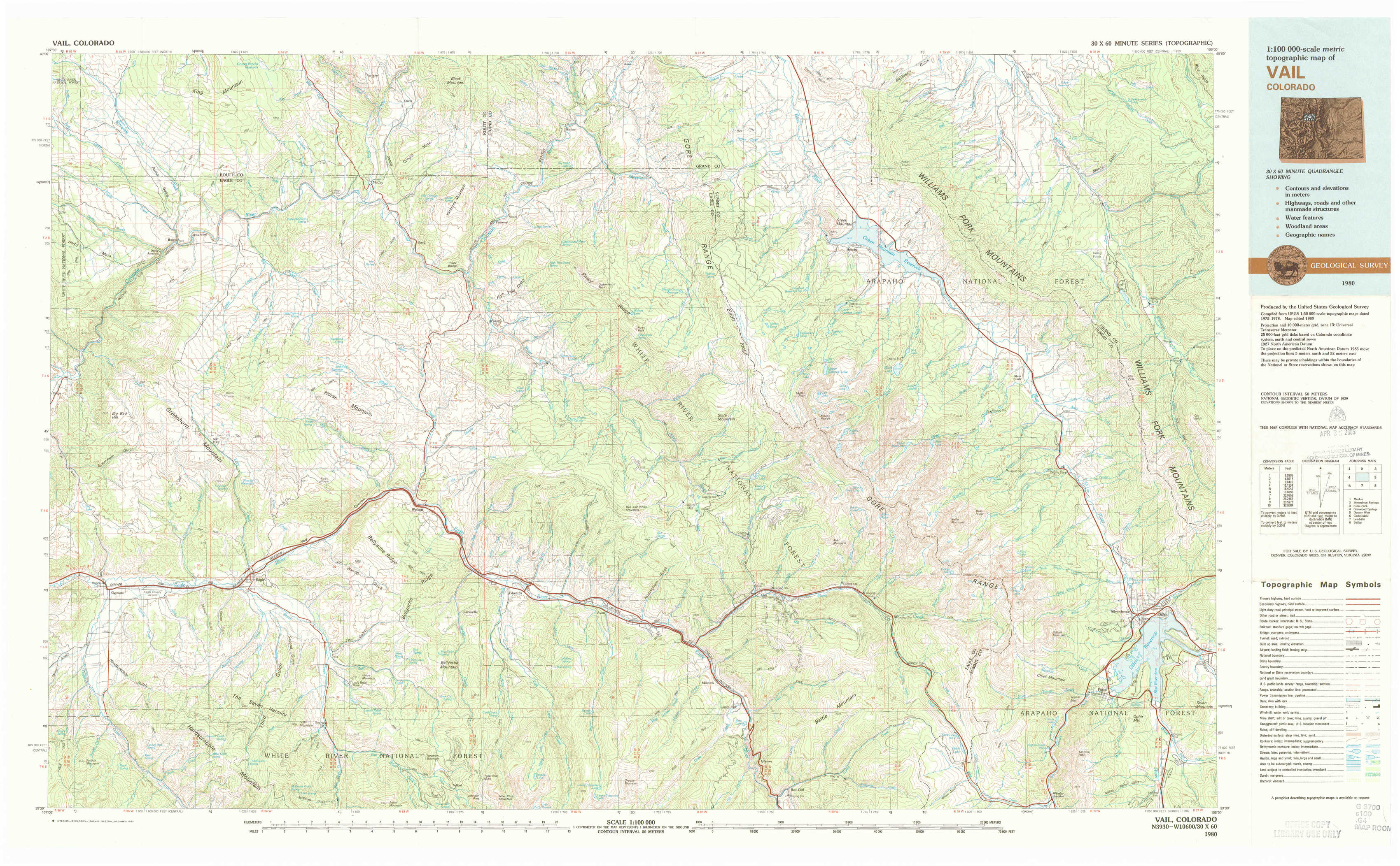
Vail Topo Map Colorado
To zoom in, hover over the map of Vail
USGS Topo Map 39106e1 - 1:100,000 scale
| Topo Map Name: | Vail |
| USGS Topo Quad ID: | 39106e1 |
| Print Size: | ca. 39" wide x 24" high |
| Southeast Coordinates: | 39.5° N latitude / 106° W longitude |
| Map Center Coordinates: | 39.75° N latitude / 106.5° W longitude |
| U.S. State: | CO |
| Filename: | 39106e1.jpg |
| Download Map JPG Image: | Vail topo map 1:100,000 scale |
| Map Type: | Topographic |
| Topo Series: | 30´x60´ |
| Map Scale: | 1:100,000 |
| Source of Map Images: | United States Geological Survey (USGS) |
| Alternate Map Versions: |
Vail CO 1980, updated 1982 Download PDF Buy paper map |
1:100,000 Topos surrounding Vail
Meeker |
Steamboat Springs |
Estes Park |
Glenwood Springs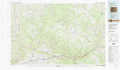 |
Vail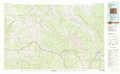 |
Denver West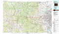 |
Carbondale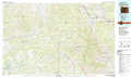 |
Leadville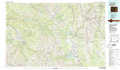 |
Bailey |
> Back to 39106a1 at 1:250,000 scale
> Back to U.S. Topo Maps home
1:24,000 Topo Quads covered by the spatial extent of this 100k map (Vail)
|
Burns North 
|
Blue Hill 
|
Mccoy 
|
Radium 
|
Sheephorn Mountain 
|
King Creek 
|
Battle Mountain 
|
Sylvan Reservoir 
|
|
Burns South 
|
Castle Peak 
|
State Bridge 
|
Lava Creek 
|
Piney Peak 
|
Mount Powell 
|
Squaw Creek 
|
Ute Peak 
|
|
Gypsum 
|
Eagle 
|
Wolcott 
|
Edwards 
|
Vail West 
|
Vail East 
|
Willow Lakes 
|
Dillon 
|
|
Suicide Mountain 
|
The Seven Hermits 
|
Fulford 
|
Grouse Mountain 
|
Minturn 
|
Red Cliff 
|
Vail Pass 
|
Frisco 
|